


![]()


Durata
 6:35 h
Distanza
 13,5 km
 Ascesa
 1025 m
Discesa
 1025 m
H Max
 2439 m
H Min
 1435 m
Winter hike to Monte del Pascolo/Königsanger
DESCRIPTION
Snow-capped peaks and mountain silence: snowshoeing from Garner Wetterkreuz to Monte del Pascolo.
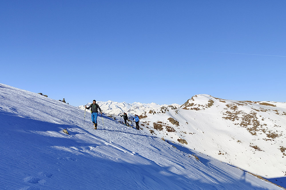
The snowshoe excursion on Monte del Pascolo starts from the Garner Wetterkreuz car park, a strategic point that offers us access to one of the most evocative panoramas in South Tyrol.
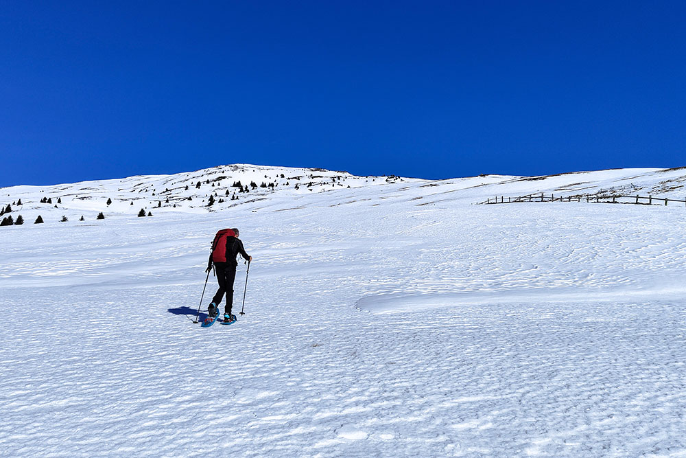
The initial path, framed by snow-covered forests and silent clearings, winds at an ascending pace. With snowshoes, we feel the pleasure of fresh snow under our feet, sometimes frozen, while the mountain silence envelops us in a solemn quiet. The first panoramic stage offers us an enchanting view of the Isarco Valley and the surrounding peaks, offering the opportunity to contemplate the grandeur of Alpine nature.
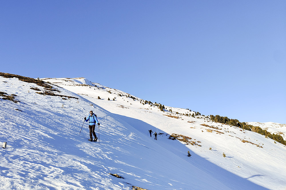
Continuing our itinerary, we face a more challenging stretch that leads us to the summit of Monte del Pascolo. The challenge is rewarded by a 360 degree panoramic view, characterized by the majesty of the white peaks and the serenity of the surrounding woods. From the top you can admire: the Catinaccio Group, the Sassolungo and the Sassopiatto, the Odle, the Marmolada and many others.
The descent from the opposite side leads us to the Rifugio Rodella - closed in winter - where we can treat ourselves to a well-deserved break.
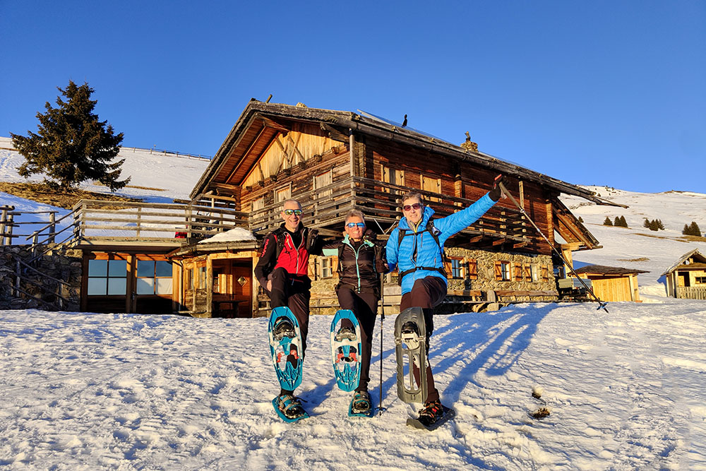
The route continues through an evocative snowy landscape, finally taking us to the Grugger Schupfe, where it is possible to admire the traditional architecture of the Alpine houses. In this winter quiet scenario, we will have the privilege of immersing ourselves in the surrounding beauty before concluding our excursion.
In summary, the snowshoe excursion on Monte del Pascolo turns out to be an extraordinary experience that blends the natural beauty of South Tyrol with the magic of winter. However, it should be underlined that it is a challenging route, both due to the considerable difference in altitude and the part of the descent along the ridge to the Rifugio Rodella.
ITINERARY
From the car park (1435 m) take path 10 and then 10A reaching the summit of Monte del Pascolo/Königsanger (2439 m). Here you follow the ridge path and descend to the Rifugio Rodella/Radlseehütte (2284 m). Now follow paths 8, 10 and 14 up to the Brugger Schupfe (1997 m). Return to the starting point following trail signs 14A and 10.
EXCURSION DATE
January 28, 2024
STARTING POINT
Car park Cross of the time of Caerna/Garner Wetterkreuz
REFRESHMENT POINT
Nobody
AUTHOR’S SUGGESTIONS
The route from the top of Monte del Pascolo to the Rifugio Rodella is only recommended for expert hikers and in ideal snow conditions, given the high probability of avalanches.
SAFETY TIPS
Snowpack stability is subject to sudden and unpredictable changes. For your safety, always consult the avalanche bulletin, because the snowpack is subject to rapid changes, ask the competent local offices for information. Our GPX tracks are indicative only, that is, the route was best done with the snow and weather conditions of that day. So always evaluate what to do on site. Also remember to evaluate the route based on your physical abilities, training and the equipment you have. It is appropriate to let someone know the itinerary you intend to take. Remember that the emergency number is 112.
EQUIPMENT
It is recommended to have the appropriate equipment: kit for self-rescue in avalanches (consisting of Artva, shovel and probe), snowshoes, sticks, crampons, glasses, sunscreen, hiking boots, winter clothing, gloves, cap, backpack hot drinks.
RECOMMENDED MAPS
Tabacco 030 Brixen - Villnössertal /Bressanone - Val di Funes
INTERESTING LINKS
https://www.valleisarco.net/
HOW TO ARRIVE
A22 exit Chiusa. Take the SP74 to Feldthurns. Here take the SP142 and go up for 2.9 km. Turn right and follow the signs for Garn/Caerna. Once past Caerna, continue to the car park - for 3.8 km.
PARKING AREA
Caerna/Garner Wetterkreuz, free.
GPS coordinates: 46.674527, 11.568978
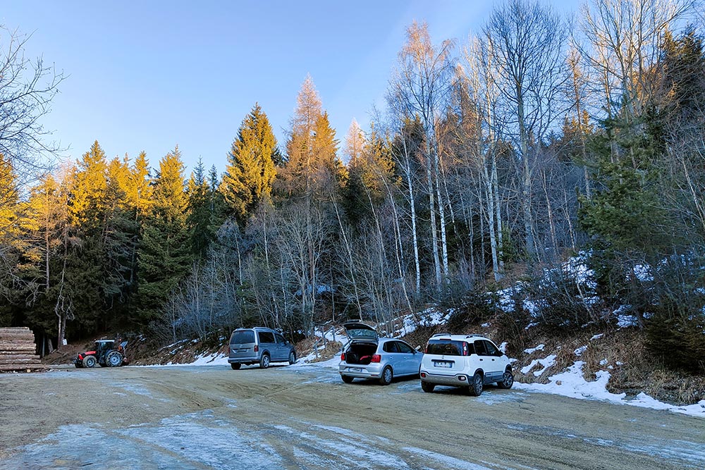
Parcheggio Garner Wetterkreuz
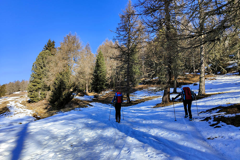
Si sale sul sentiero 10
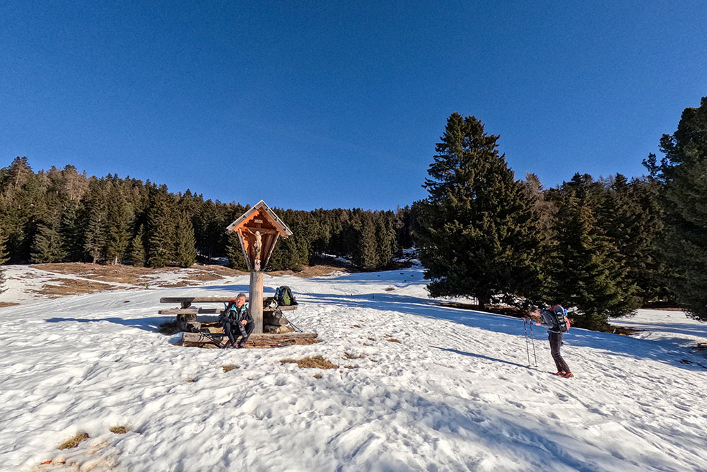
Un bel capitello in legno
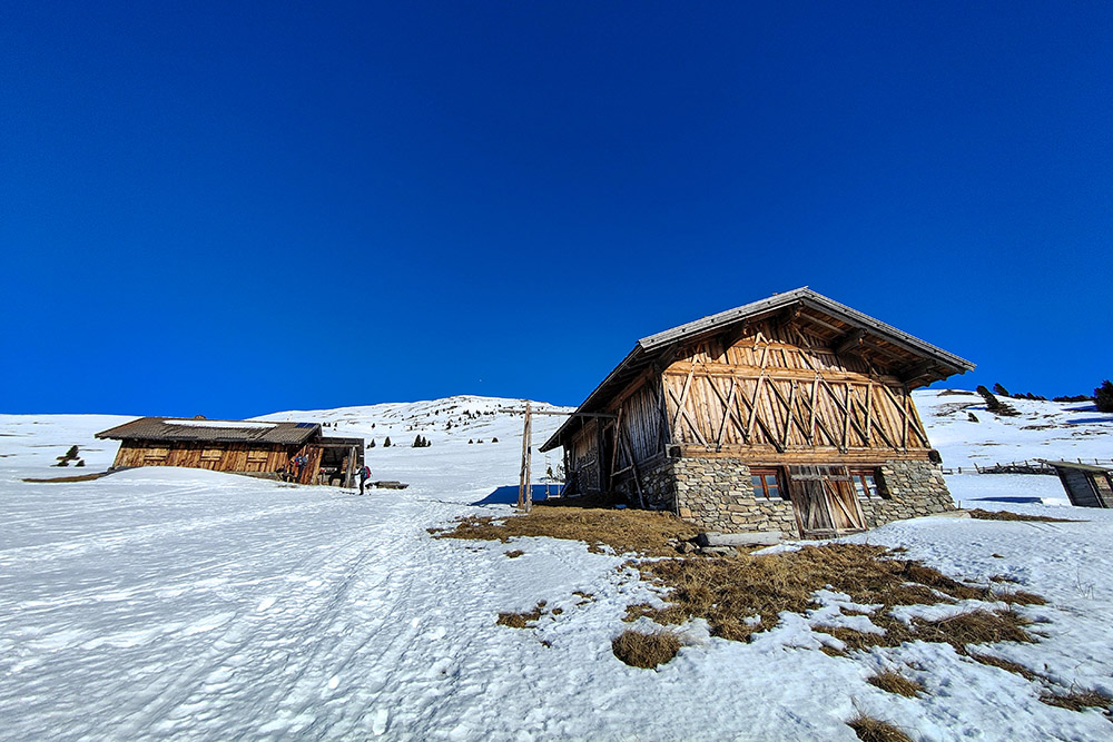
Siamo arrivati nella zona dei fienili
Si continua a salire
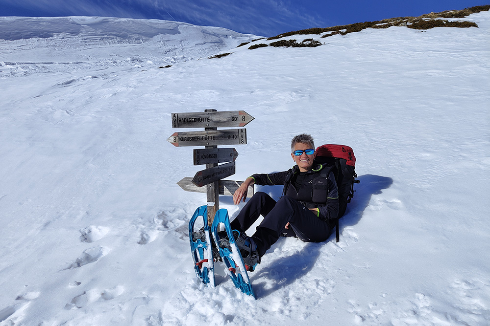
Qui prendiamo il 10A
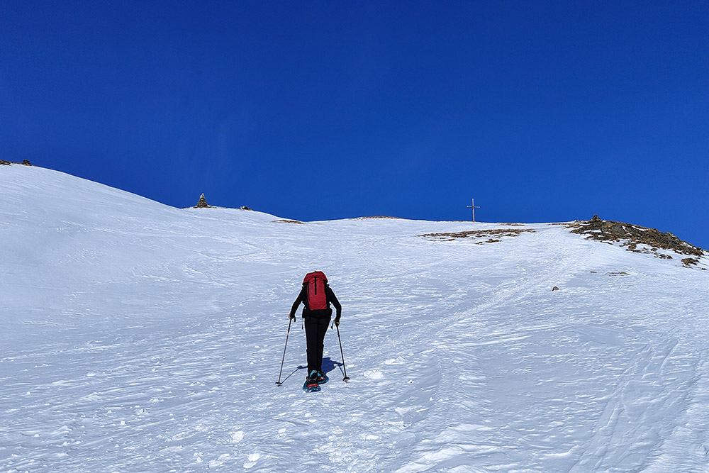
Ultimo tratto per la vetta
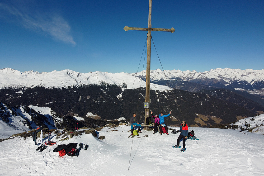
In vetta al Monte Pascolo
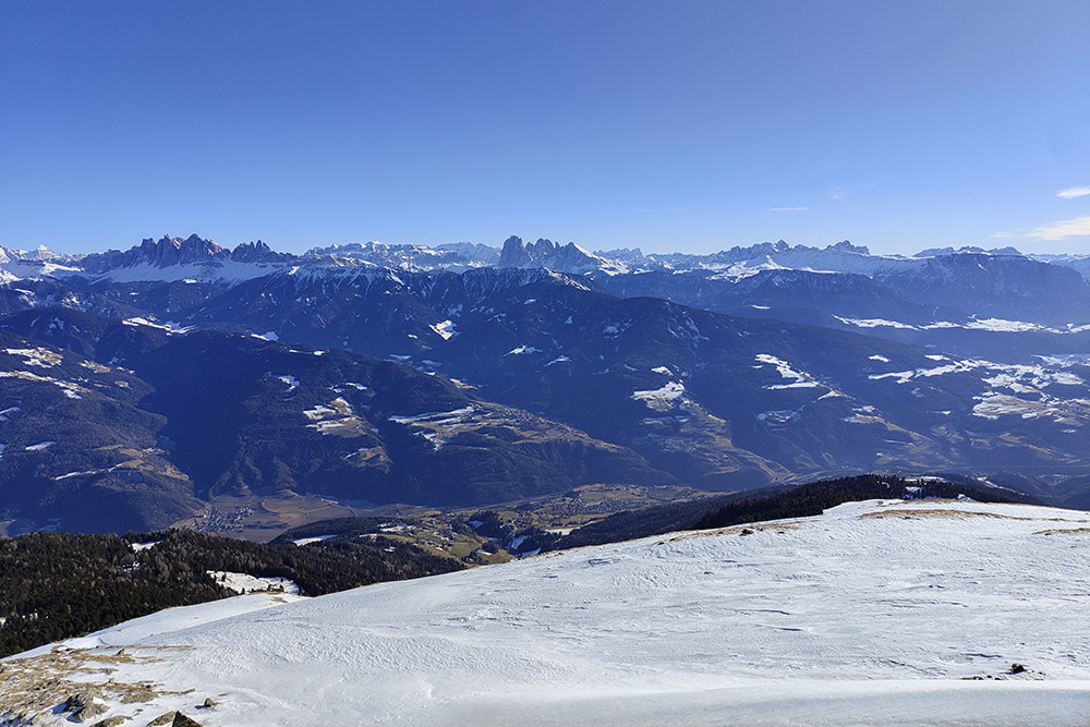
Panorama verso i gruppi dolomitici
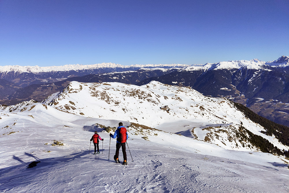
In cresta
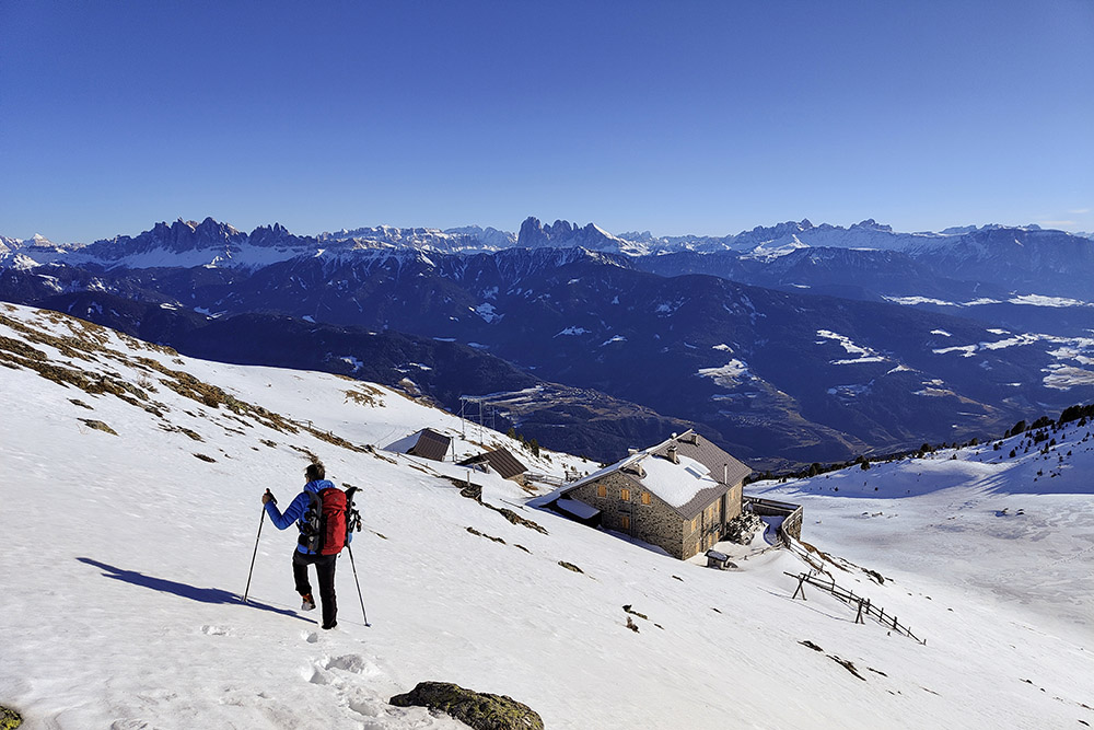
Scendiamo al Rifugio Rodella
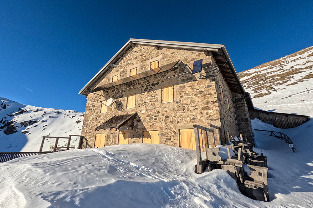
Il Rifugio Rodella
Continuiamo sul sentiero 8
Sentiero 14
Arrivati alla Brugger Schupfe


