


![]()


Durata
 5:00 h
Distanza
 14,9 km
 Ascesa
 670 m
670 mDiscesa
 670 m
670 mH Max
 550 m
550 mH Min
 81 m
81 mGarda Trek Low #1 - from Riva del Garda to Arco
DESCRIPTION
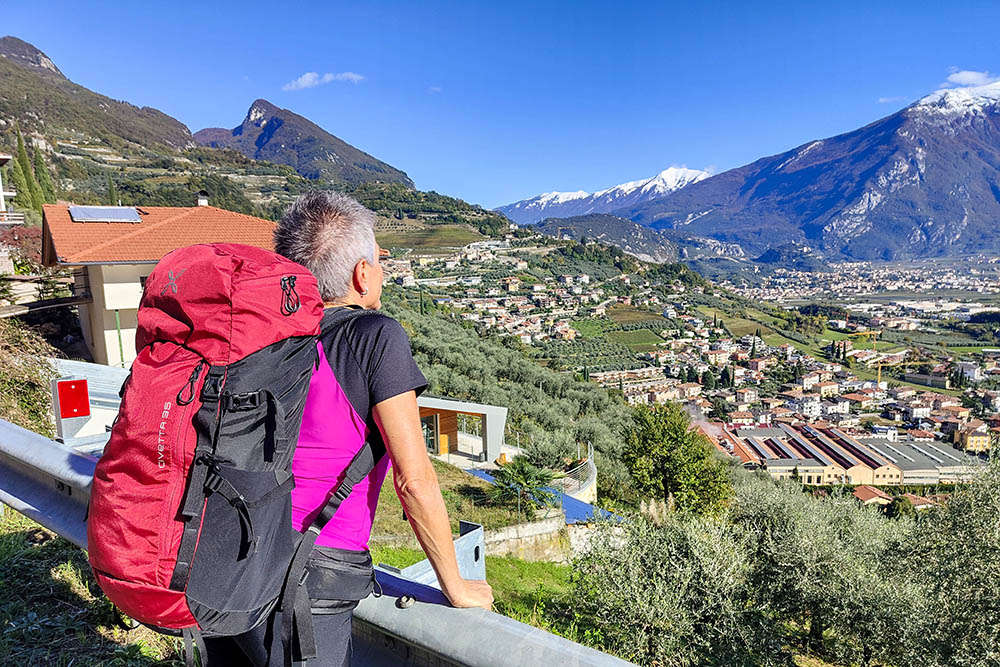
An ups and downs among the green olive trees, with a constant view of Lake Garda.
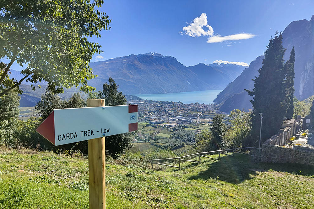
The GardaTrek Low Loop is an accessible excursion that winds through the main centers of Alto Garda Trentino: Riva del Garda, Tenno, Arco, Nago and Torbole sul Garda. It is a fascinating circular route accessible to everyone, suitable for all seasons, offering the discovery of the varied landscape of the Busa del Garda Trentino. The Garda Trek Low Loop, 33 km long, is commonly divided into two stages: the first which leads from Riva del Garda to Arco, and the second which from Arco returns to Riva crossing Nago and Torbole sul Garda.
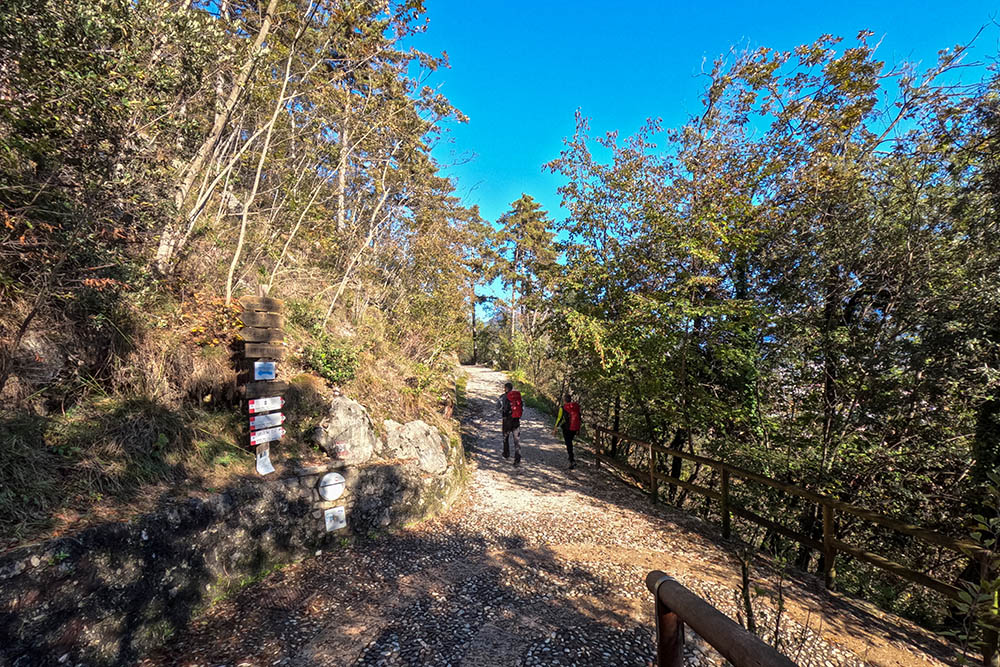
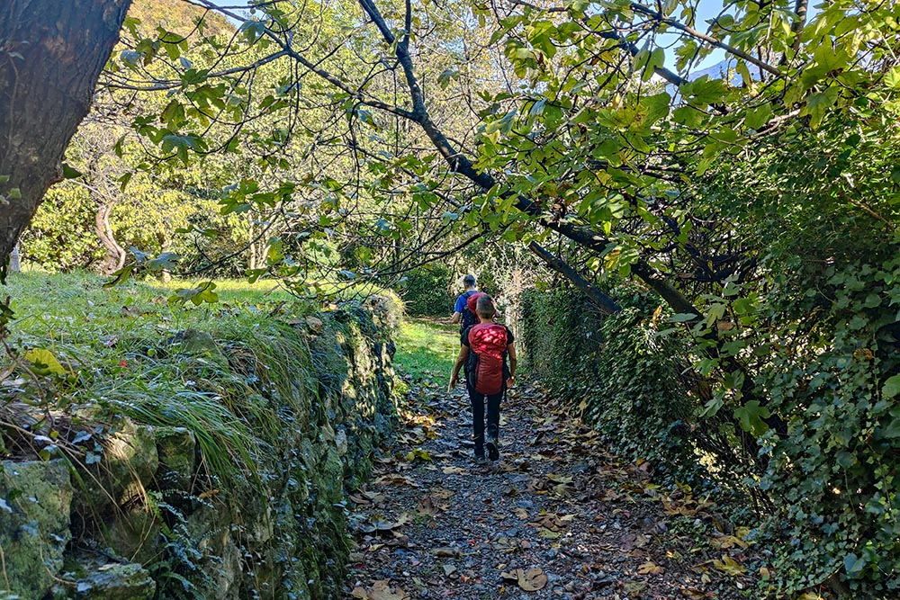
In this itinerary, we present the first stretch that embraces the entire western side of the Busa. The route winds along ancient mule tracks, paths and secondary roads, guaranteeing a fully signposted experience.
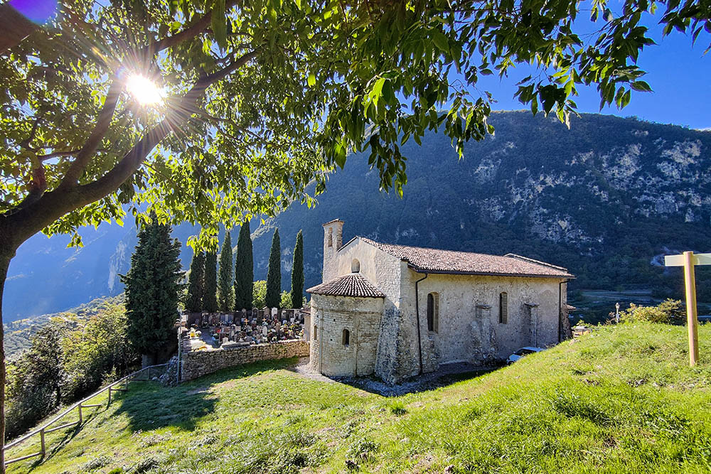
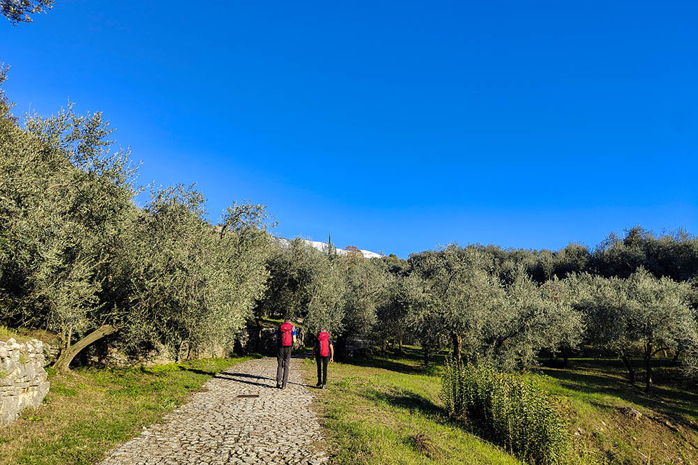
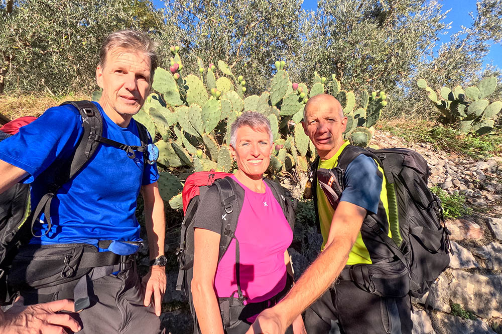
Along the Garda Trek Low 1, you come across various points of naturalistic and cultural interest, including suggestive churches, medieval villages, vineyards and olive groves.
The first stage of the Garda Trek Low ends in Arco. At this point, you can choose between staying overnight on site or, as we did, using public transport to return to the starting point.
ITINERARY
From Arco you can take public transport to Riva del Garda (87 m). Once you arrive in Via Monte Oro, take the paved road following the Garda Trek - Top/Medium/Low trail sign. After a while you arrive at the Church of Santa Maria Maddalena (250 m) and then in Località Foci (154 m). Continuing you pass over the Varone waterfall reaching the Church of San Lorenzo (370 m) and the Grom panoramic point (400 m). Now we pass around the Tenno Castle (410 m) and continue the route a bit in the woods and then among vineyards and olive trees. Once you arrive near the Arco Castle, go down to Arco (89 m) and via the cycle/pedestrian path you go to the Sarca car park (88 m).
EXCURSION DATE
November 5, 2023
STARTING POINT
Riva del Garda
REFRESHMENT POINT
In the countries you pass through.
AUTHOR’S SUGGESTIONS
It is recommended to do the excursion in spring or autumn.
SAFETY TIPS
The viability of the proposed itinerary, like all mountain morphology, is subject to environmental changes due to natural events and weather conditions. Therefore, before leaving, consult the competent tourist offices and / or the refuges of reference.
Our GPX tracks are only indicative, that is, the route was carried out at best with the conditions of the trails and weather of that day. So always consider what to do on site.
Also remember to evaluate the route based on your physical abilities, training and the equipment you have.
You should leave someone the route you intend to do told.
Remember that the emergency number is 112.
EQUIPMENT
It is recommended to have the appropriate equipment for the route, weather conditions and season: windproof and / or rain jacket, map and / or GPS device, goggles, sunscreen, boots, first aid kit, specific clothing, gloves, backpack with food and drink.
RECOMMENDED MAPS
Tabacco 061 Alto Garda - Ledro - Monte Baldo Nord
INTERESTING LINKS
https://www.gardatrentino.it/it/outdoor/trekking/garda-trek
HOW TO ARRIVE
A22 in Rovereto, exit Rovereto Sud/Lago di Garda Nord and then the SS240 up to Arco. The car park is located in Via Canale 13.
PARKING AREA
Parking in Sarca ad Arco, free
GPS coordinates: 45.916345, 10.889829
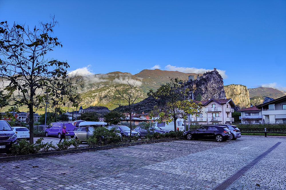
Parcheggio alla Sarca - Arco
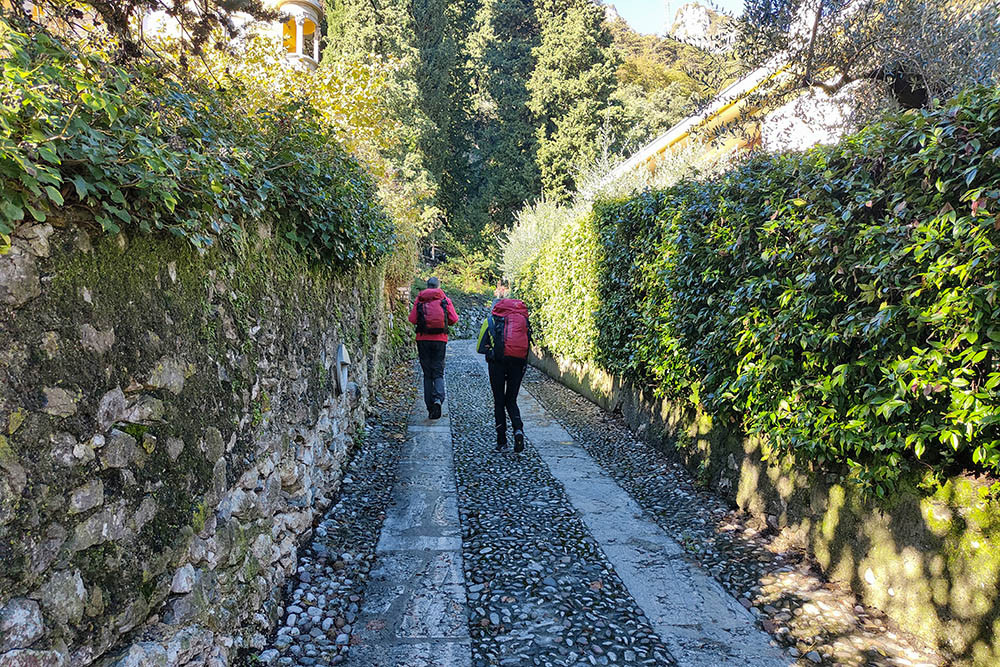
Si sale seguendo l'indicazione Bastione
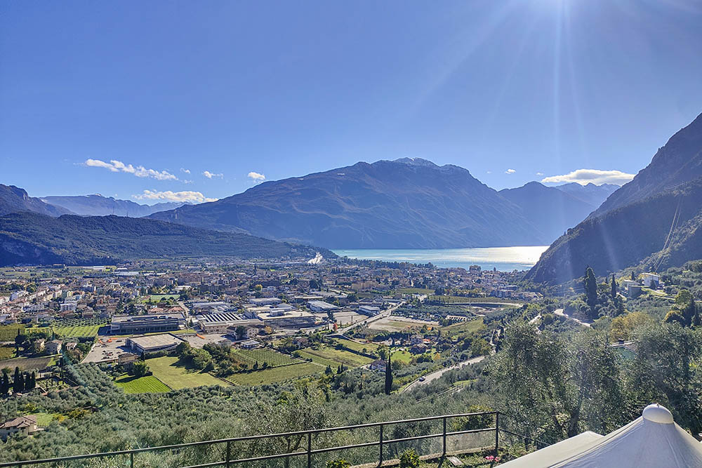
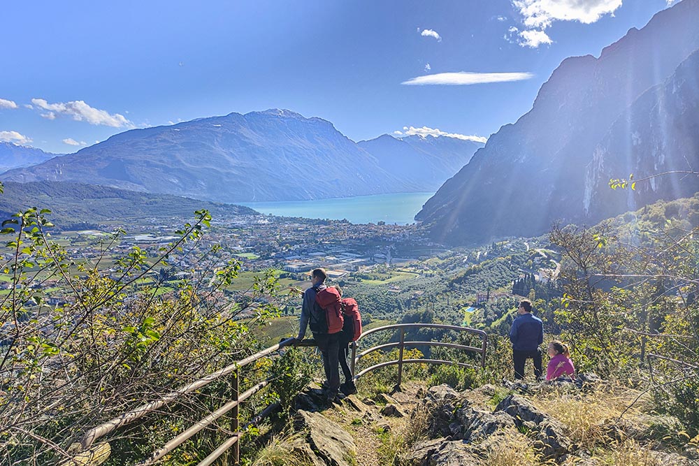
Vista verso il Lago di Garda
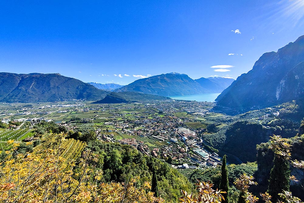
Vista verso Arco
Al bivio seguiamo l'indicazione Garda Trek Low
Si va verso la Chiesa di San Lorenzo
Chiesa di San Lorenzo
Vista del Lago di Garda dalla Chiesa di San Lorenzo
Punto panoramico di Grom

Castello di Tenno
Panorama della zona di Riva del Garda
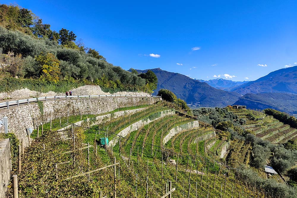
I catteristici terrazzamenti della zona
Si va verso il Castello di Arco
Siamo arrivati nei pressi del Castello di Arco
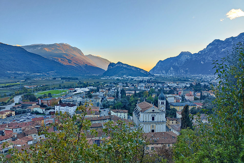
Arco dall'alto


