


![]()


Durata
 4:45 h
Distanza
 9,2 km
 Ascesa
 783 m
783 mDiscesa
 783 m
783 mH Max
 2109 m
H Min
 1368 m
Lake Nàssere and the Val d'Inferno lakes
DESCRIPTION
Alpine lakes and wild nature: an excursion in Val Campelle.
We are located in the suggestive Val Campelle, immersed in the heart of the Lagorai Group, an area characterized by its intact natural beauty. During this exciting excursion, you will have the opportunity to walk along enchanting paths along pretty streams and discover picturesque alpine lakes. The first part of our itinerary will take us along the Nomads' Path, named in honor of Augusto Daolio and Dante Pergreffi.
ITINERARY
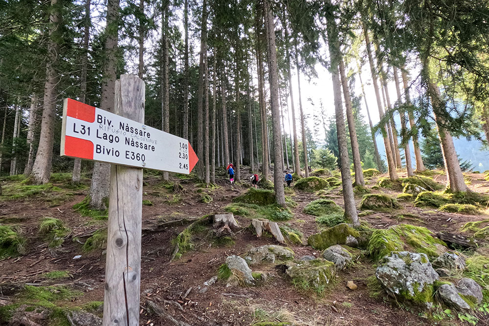
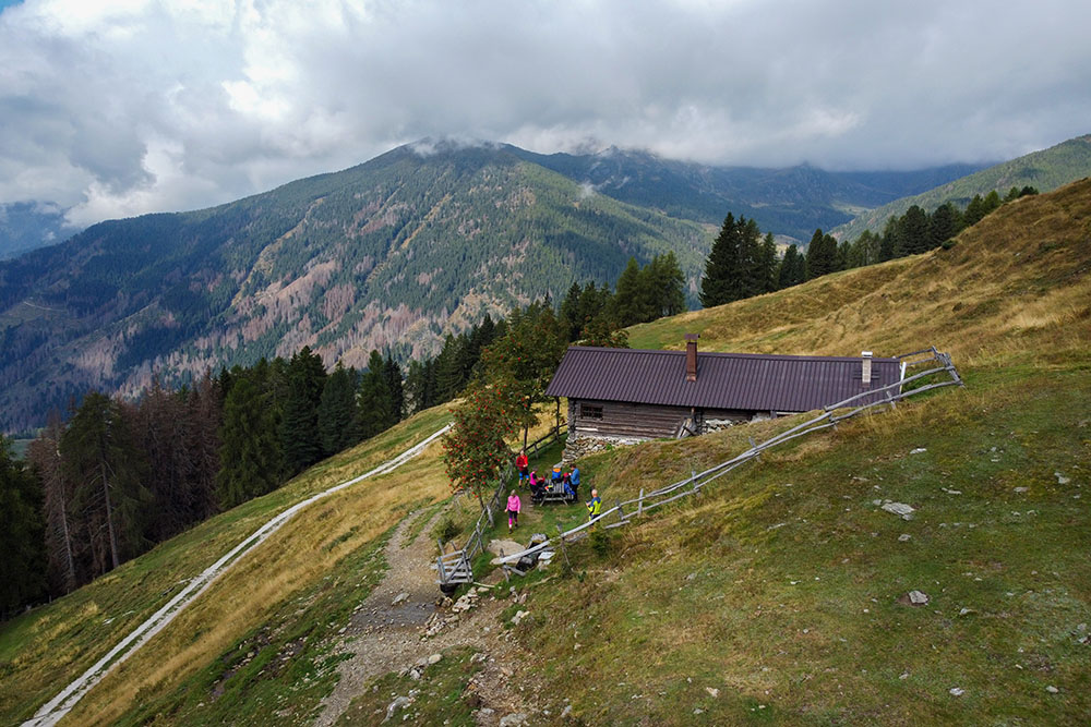
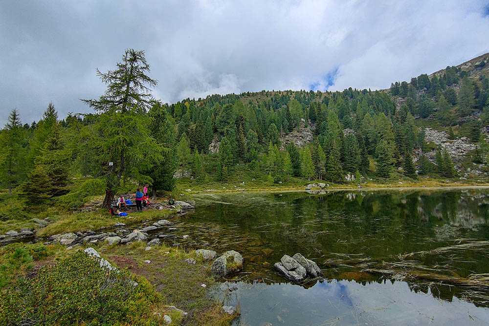
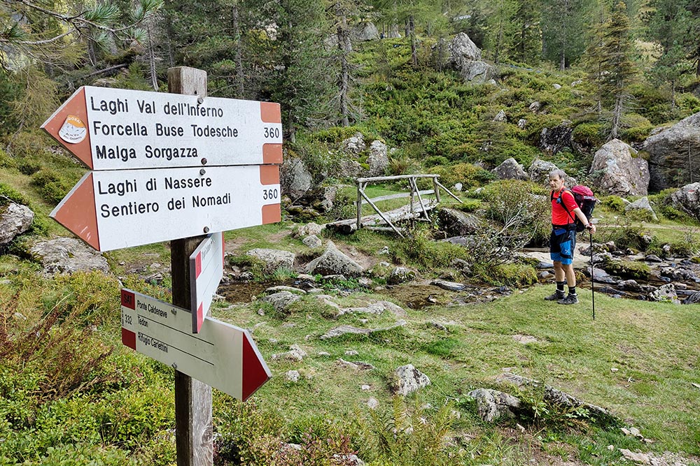
Starting from the Rifugio Carlettini (1368 m), we follow path L31, known as the Nomads' Path, which will lead us to the suggestive Malga Nàssere (1758 m). We continue along the same path until we reach the wonderful Lake Nàssere (2064 m), also known as Busa del Lago. From here, we continue the excursion with an uphill stretch before taking path 360, which will take us to Baito Lastei ( 2025 m), and the suggestive Val d'Inferno Lakes (1959 m). Continuing on path 360, we cross a bridge over the stream and arrive at the Rifugio Malga Cladenave (1799 m). The return to the starting point takes place following path 332 and traveling through the wonderful Val Caldenave.
EXCURSION DATE
September 16, 2023
STARTING POINT
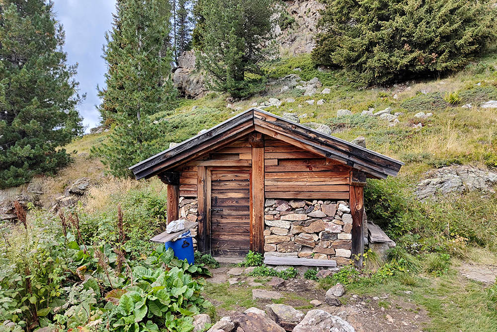
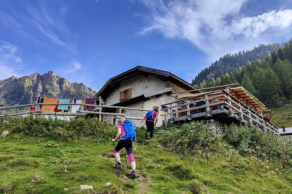
Rifugio Carlettini (1368 m)
REFRESHMENT POINT
Rifugio Malga Caldenave (1799 m)
AUTHOR’S SUGGESTIONS
You can stock up on water at the Malga Nàssere fountain.
SAFETY TIPS
The viability of the proposed itinerary, like all mountain morphology, is subject to environmental changes due to natural events and weather conditions. Therefore, before leaving, consult the competent tourist offices and / or the refuges of reference.
Our GPX tracks are only indicative, that is, the route was carried out at best with the conditions of the trails and weather of that day. So always consider what to do on site.
Also remember to evaluate the route based on your physical abilities, training and the equipment you have.
You should leave someone the route you intend to do told.
Remember that the emergency number is 112.
EQUIPMENT
It is recommended to have the appropriate equipment for the route, weather conditions and season: windproof and / or rain jacket, map and / or GPS device, goggles, sunscreen, boots, first aid kit, specific clothing, gloves, backpack with food and drink.
RECOMMENDED MAPS
Tabacco 58 Valsugana - Tesino - Lagorai - Cima d’Asta
INTERESTING LINKS
https://valcampelle.com/
HOW TO ARRIVE
SS47 Valsugana exit Strigno - Scurelle. Follow the tourist signs for Val Campelle, signs for Rifugio Crucolo. After passing the Rifugio Crucolo, continue to the Rifugio Carlettini.
PARKING AREA
Free, at the Rifugio Carlettini
GPS coordinates: 46.151416, 11.516205
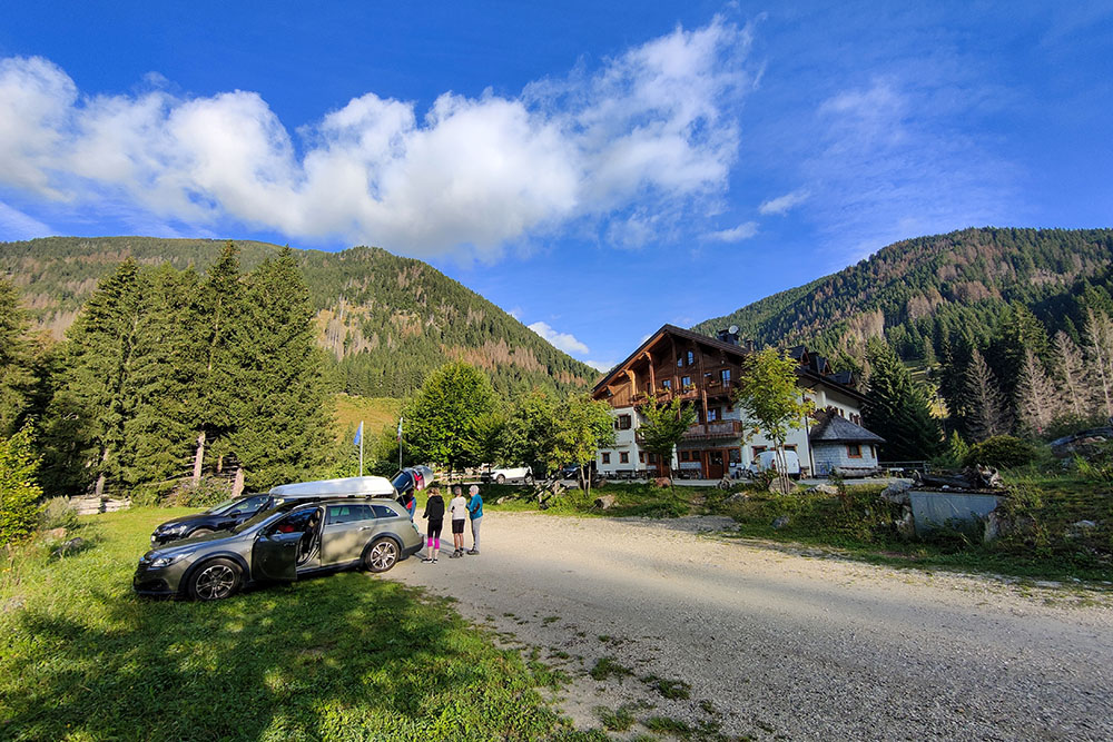
Parcheggio presso il Rifugio Carlettini
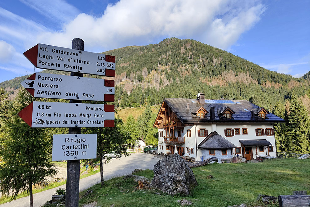
Il Rifugio Carlettini
Punto di partenza
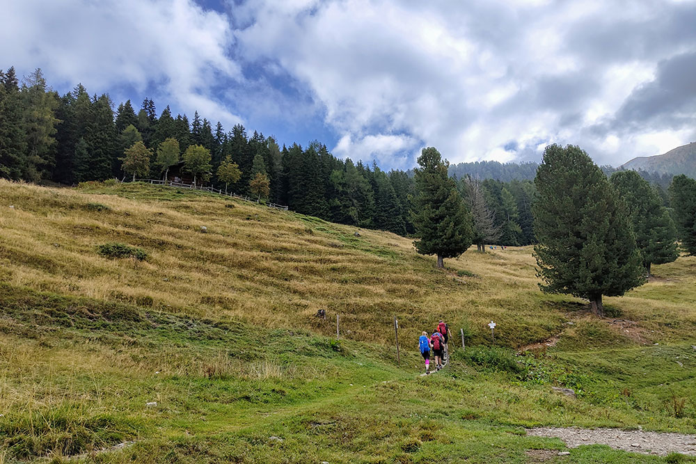
I prati di Malga Nassere
Malga Nassere
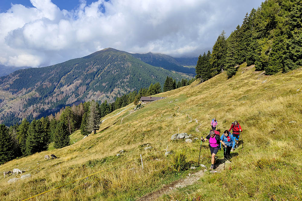
Si continua a salire
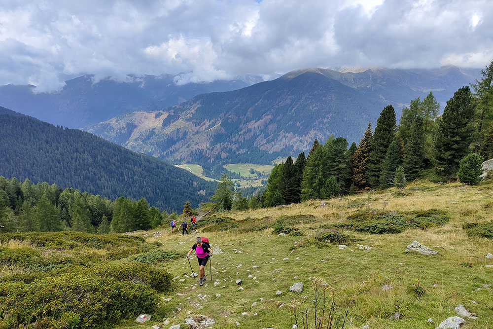
Sullo sfondo la Val Campelle
Lago Nassere
Baito Lastei
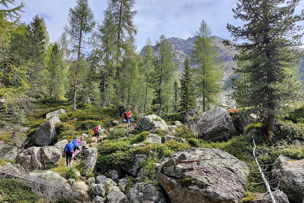
Il sentiero si fa un po' roccioso
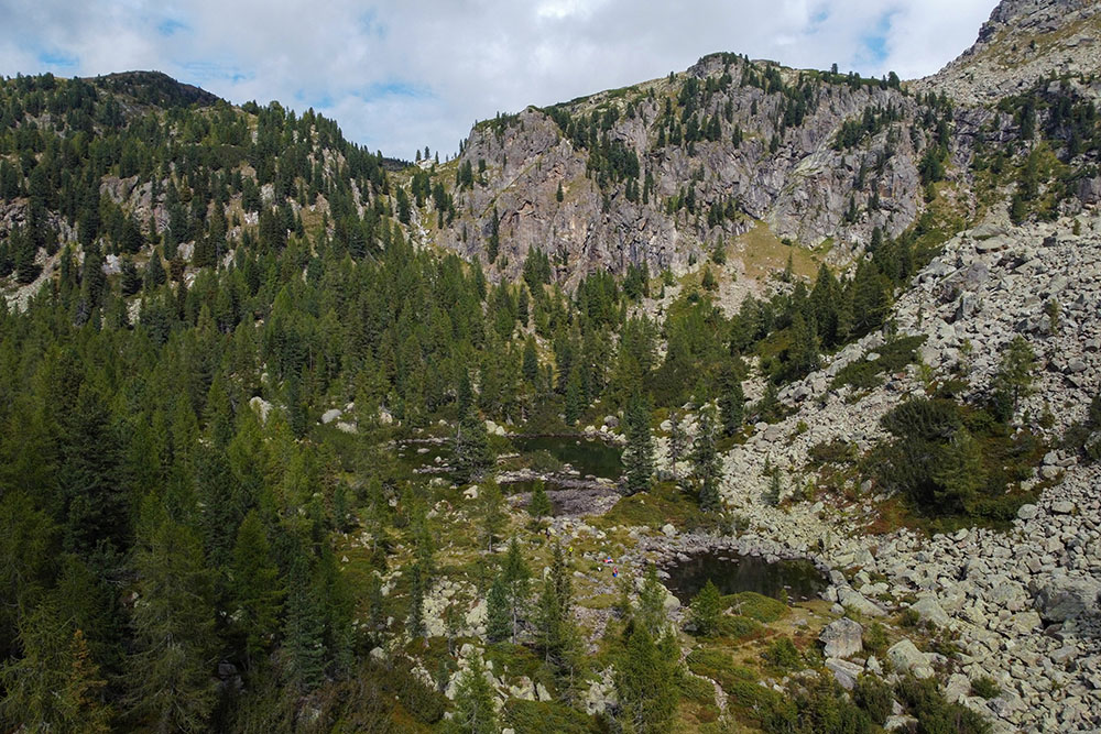
I laghi di Val d'Inferno
Il ponte in prossimità del Rifugio Caldenave
Arrivati al Rifugio Malga Caldenave
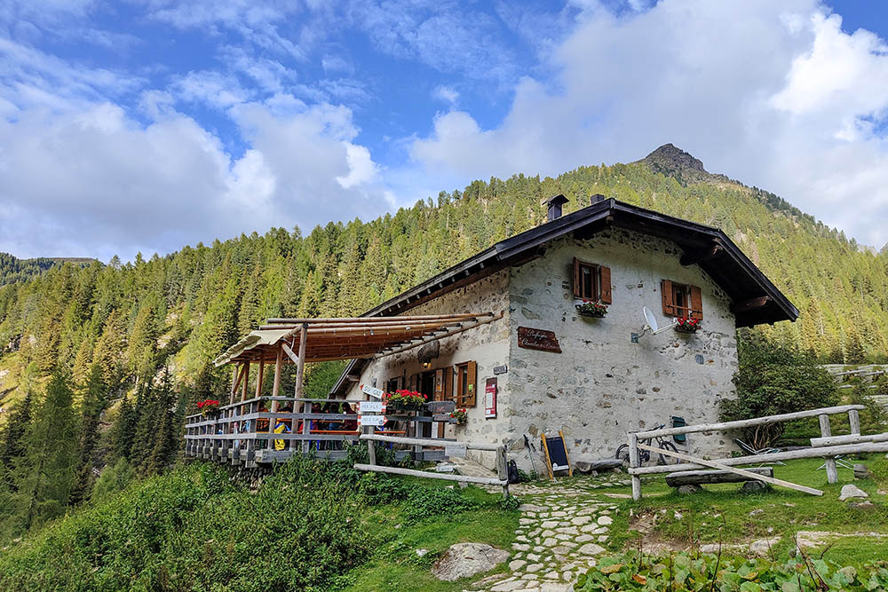
Il Rifugio Malga Caldenave
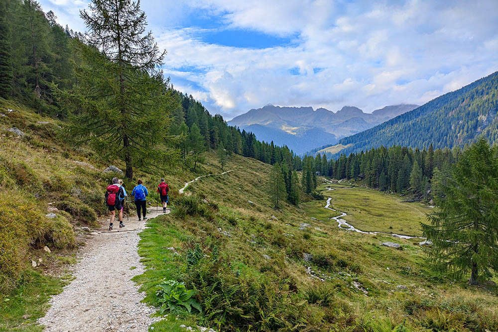
Si scende per la Val Caldenave


