


![]()


Durata
 6:50 h
Distanza
 14,3 km
 Ascesa
 1134 m
Discesa
 1134 m
H Max
 1606 m
H Min
 619 m
619 mPartschins High Trail and Nasereit Hut
DESCRIPTION
Very suggestive circular route between irrigation ditches, waterfalls and breathtaking views over the Val Venosta.
Welcome to this exciting itinerary between history and nature in the heart of the South Tyrol region. Our adventure starts from the picturesque village of Parcines, to then enjoy the splendid panorama of the Merano basin, which can be enjoyed from the Alta Via di Parcines.
But the real wonder comes shortly after: the countless waterfalls of the Rio Zielbach, among which the most majestic and impressive is undoubtedly the Parcines waterfall. At 97 meters high, it is the highest waterfall in South Tyrol and one of the best known and most popular attractions in the area. Its power and beauty will leave you speechless.
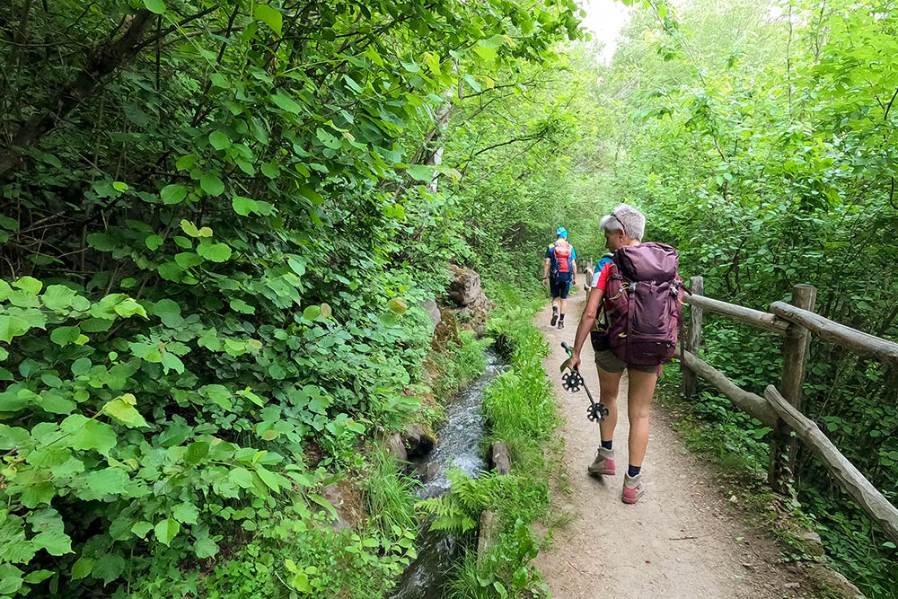
But it doesn't end there! On the way back, we will relax following the calm water flow of the Parcines Waalweg. The Sentiero della Roggia di Parcines, which dates back to the 15th century, will lead us along the suggestive Roggia, an artificial canal built to irrigate the fields in the area. This path is one of the oldest and most evocative of the Burgraviato and is still in operation today after more than 500 years of its construction!
Prepare to be immersed in a unique atmosphere, between the majesty of the waterfalls, the charm of the village of Parcines and the millenary history of the Roggia. A route that will satisfy the most demanding hikers' palates and will give you unforgettable memories!
ITINERARY
From the center of Parcines (619 m) follow the Via dei Romani and then the 7A trail up to the Graswegerkeller restaurant (730 m). From here, follow path 7 and when you get near the Niederhaushof farm (945 m), take the Alta Via di Parcines, path no. 23. Pass the Egger farm (1215 m) and the Prünster refreshment point (1195 m) and, before arriving at the Gasthaus Wasserfall, climb along path 8B and 8 up to the Nasereit/Nasereit Hütte refuge (1523 m). Here you can go further up the Ziel Valley on path no. 8 to see some pretty waterfalls. Go back along the same path up to a crossroads where you follow the mountaineering route to the waterfalls. Arrived at the Gasthaus Wasserfall (1065 m) take the path that leads to the Parcines waterfall (1095 m). Now go down along trail marker 8B, pass the Birkenwald refreshment point (955 m) and at the hamlet of Salten (950 m) take the Parcines Waalweg (Walk Path). At the end of the Waalweg you return to Partschins following trail marker 7A.
EXCURSION DATE
May 28, 2022
STARTING POINT
Partschins
REFRESHMENT POINT
Refreshment Prünster (1195 m), Refuge Nasereit (1523 m), Gasthaus Wasserfall (1065 m) and Refreshment Birkenwald (955 m)
AUTHOR’S SUGGESTIONS
We recommend taking the Mountaineering route to the waterfalls, because you will have the possibility of excellent vantage points on the Rio Zielbach waterfalls.
SAFETY TIPS
The viability of the proposed itinerary, like all mountain morphology, is subject to environmental changes due to natural events and weather conditions. Therefore, before leaving, consult the competent tourist offices and / or the refuges of reference.
Our GPX tracks are only indicative, that is, the route was carried out at best with the conditions of the trails and weather of that day. So always consider what to do on site.
Also remember to evaluate the route based on your physical abilities, training and the equipment you have.
You should leave someone the route you intend to do told.
Remember that the emergency number is 112.
EQUIPMENT
It is recommended to have the appropriate equipment for the route, weather conditions and season: windproof and / or rain jacket, map and / or GPS device, goggles, sunscreen, boots, first aid kit, specific clothing, gloves, backpack with food and drink.
RECOMMENDED MAPS
Tabacco 011 Merano e dintorni
INTERESTING LINKS
https://www.nasereit.com/
HOW TO ARRIVE
From Merano take the SS38 towards Passo di Resia. In Tel/Töll, turn right and climb for about one kilometer to the village of Parcines/Partschins.
PARKING AREA
Parcines car park (free of charge - max 8 hours)
GPS coordinates: 46.683290, 11.074840
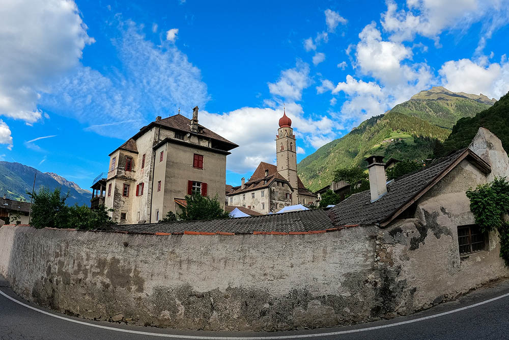
Il paese di Parcines
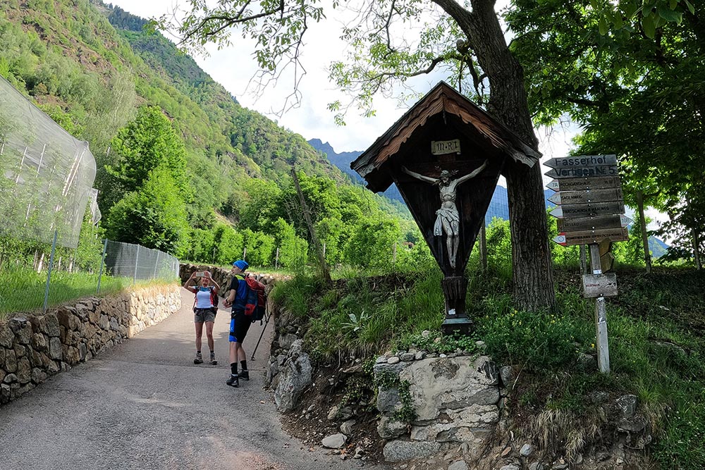
Prendiamo il sentiero n. 7A
Accesso al Waalweg di Parcines
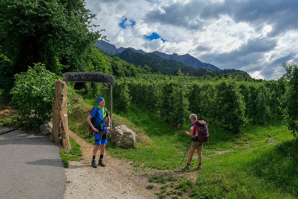
Imbocchiamo l'Alta Via di Parcines, n. 23
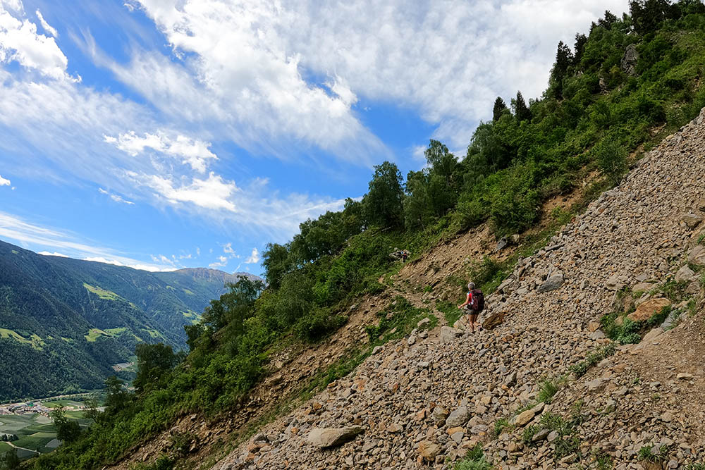
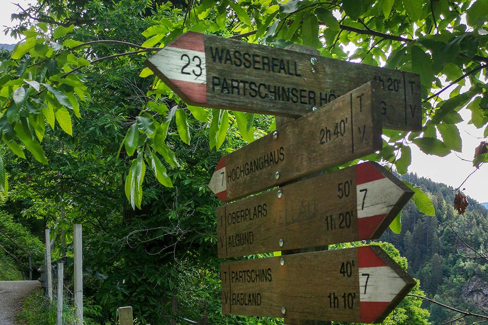
Sentiero 23 - Alta Via di Parcines
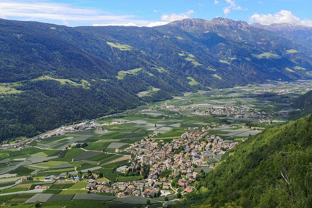
Vista sulla Val Venosta

Sentiero 23 - Alta Via di Parcines
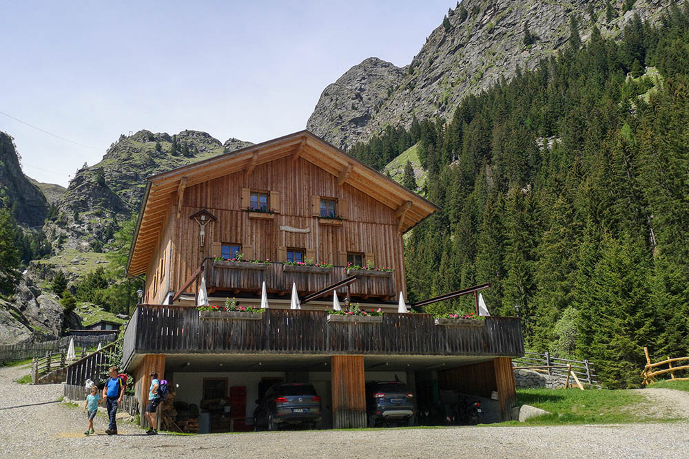
Rifugio Nesereit
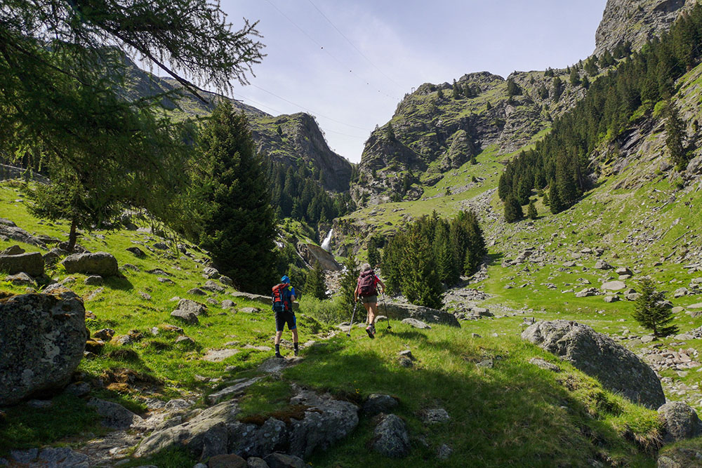
Si sale per la Val Ziel
Rio Zielbach
Cascata di Parcines
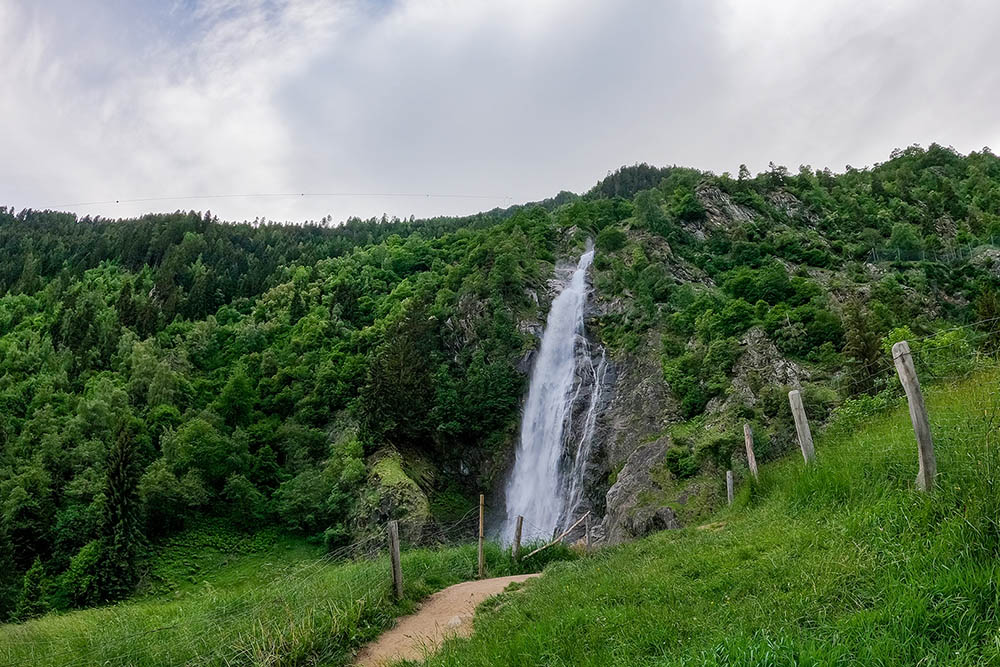
Cascata di Parcines
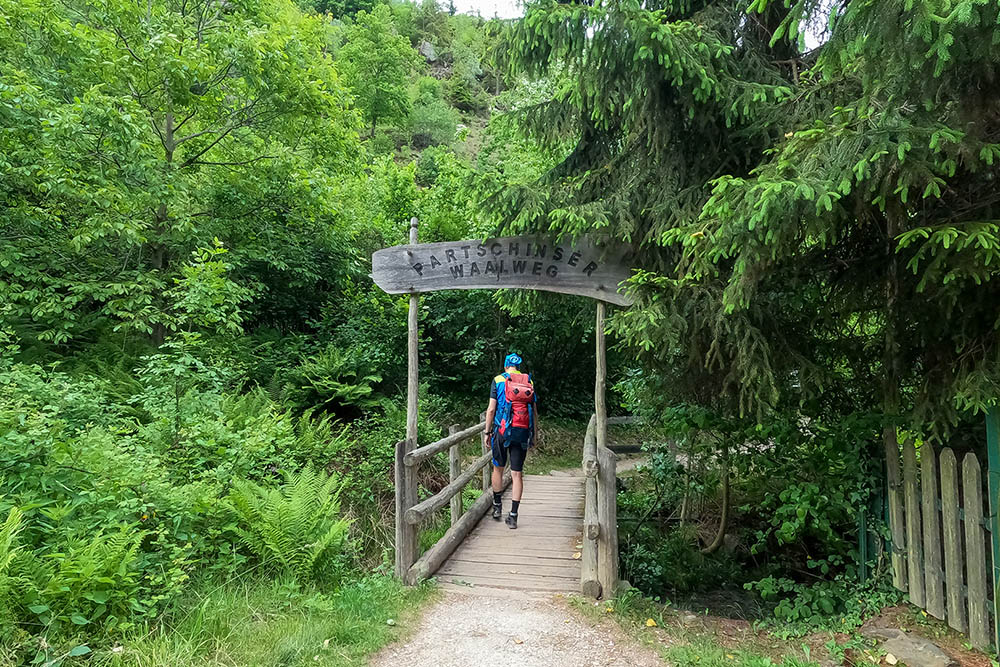
Inizio del Waalweg di Parcines
Lungo il Waalweg di Parcines


