


![]()


Durata
 4:45 h
Distanza
 12,2 km
 Ascesa
 611 m
611 mDiscesa
 611 m
611 mH Max
 1865 m
H Min
 1460 m
Monte Zugna and Passo Buole
DESCRIPTION
Walking in the footsteps of history: a journey through the places of the First World War.
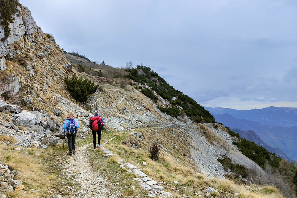
The itinerary follows the military roads and trenches built in the first decades of the last century. Along the way, it is possible to admire the numerous remains of the First World War which have been excellently restored and illustrated by special posters. Furthermore, along the way, there are panoramic points that offer a spectacular view of the Vallagarina and the surrounding peaks.
To better understand what you will see, we offer you a small historical explanation.
In the early 1900s, the Austrian rulers planned a fort on the top of Mount Zugna and for this they made an access road and built the headquarters for the officers, barracks for the troops and a rainwater collection system. However, when Italy entered the war, the fort was not yet built and then the defense lines were pulled back as far as Rovereto.
Then in May and June 1915, the Italian army occupied the area and built its trenches, roads, barracks, cableways and aqueducts. Subsequently - spring of 1916 - the Austrians launched a direct offensive towards the Veneto with the aim of conquering the Vallarsa. However, the Italians strenuously defended the area, especially the side of the Zugna, where the Buole Pass and the Trincerone are located, a sort of barrier built at the narrowest point of the ridge.
The Austro-Hungarians repeatedly tried to overcome the Italian resistance, but failed despite the bloody assaults. From then on, until the end of the war, the two armies engaged in a fraying positional warfare. This bloody conflict is testified by the presence of numerous cemeteries and lines of trenches in the area.
ITINERARY
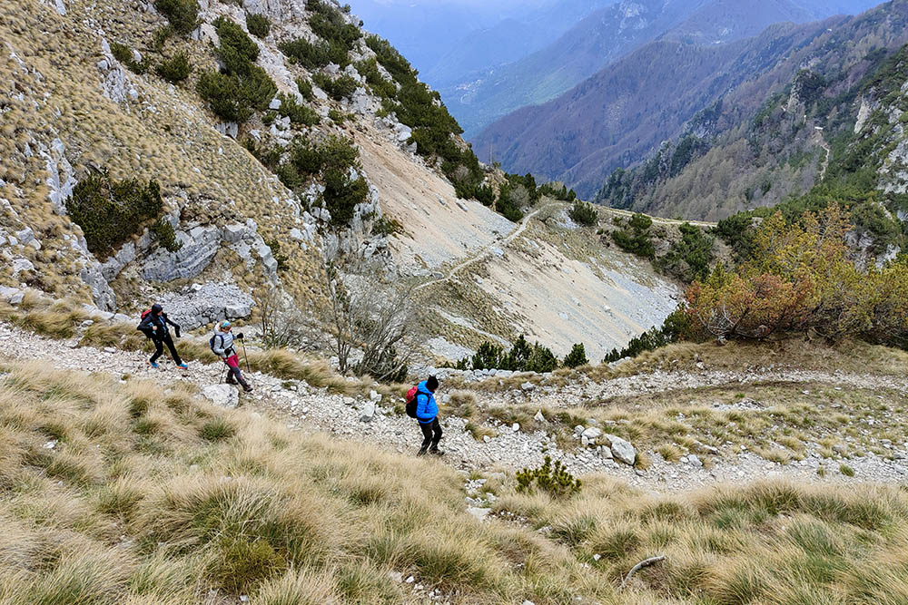
From Rifugio Coni Zugna (1615 m) go up along path no. 115 “Sentiero della Pace” up to the Parco della Pace/Italian stronghold “Coni Zugna” (1770 m). Always continue on the 115 going downhill. You first pass a metal cross (1698 m), then Monte Coni Zugna and reach Passo della Portela (1663 m). Continuing, you pass near Baita Selvata, Cima Selvata and arrive at Passo Buole (1460 m). Return along the same route up to the Parco della Pace/Italian stronghold “Coni Zugna” (1770 m). Here you go up to Monte Zugna (1864 m). Return to the starting point by the same route.
EXCURSION DATE
May 1, 2023
STARTING POINT
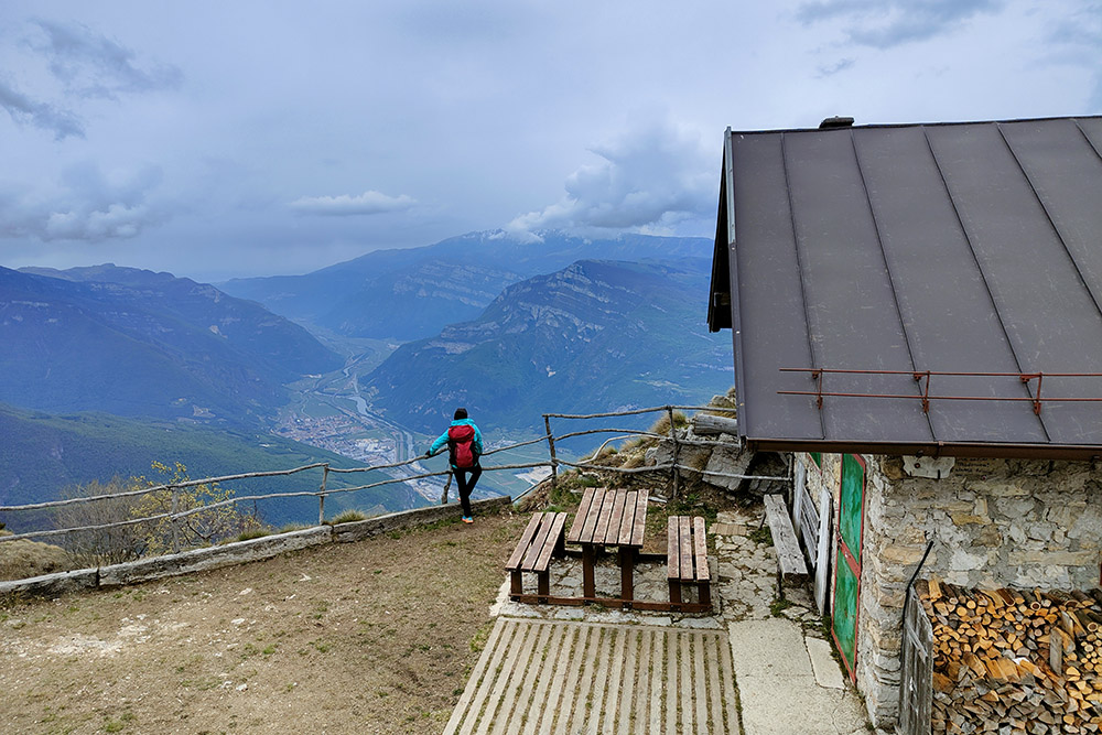
Rifugio Coni Zugna
REFRESHMENT POINT
Nobody
AUTHOR’S SUGGESTIONS
It is advisable to inquire on: https://www.trentinograndeguerra.it/
SAFETY TIPS
The viability of the proposed itinerary, like all mountain morphology, is subject to environmental changes due to natural events and weather conditions. Therefore, before leaving, consult the competent tourist offices and / or the refuges of reference.
Our GPX tracks are only indicative, that is, the route was carried out at best with the conditions of the trails and weather of that day. So always consider what to do on site.
Also remember to evaluate the route based on your physical abilities, training and the equipment you have.
You should leave someone the route you intend to do told.
Remember that the emergency number is 112.
EQUIPMENT
It is recommended to have the appropriate equipment for the route, weather conditions and season: windproof and / or rain jacket, map and / or GPS device, goggles, sunscreen, boots, first aid kit, specific clothing, gloves, backpack with food and drink.
RECOMMENDED MAPS
Tabacco 056 Piccole Dolomiti - Pasubio
INTERESTING LINKS
https://www.rifugioconizugna.com/
HOW TO ARRIVE
From Rovereto, in Via Santa Maria, go up following the signs for Monte Zugna SP89. Once in Albaredo, always follow the signs for Monte Zugna - total 17.7 km.
PARKING AREA
Free at Rifugio Coni Zugna
GPS coordinates: 45.808175, 11.058264
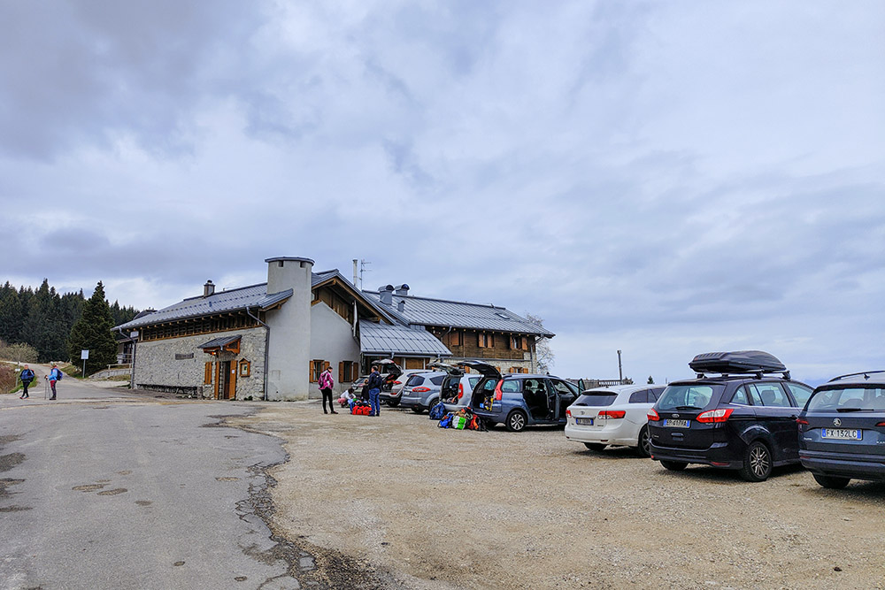
Rifugio Coni Zugna
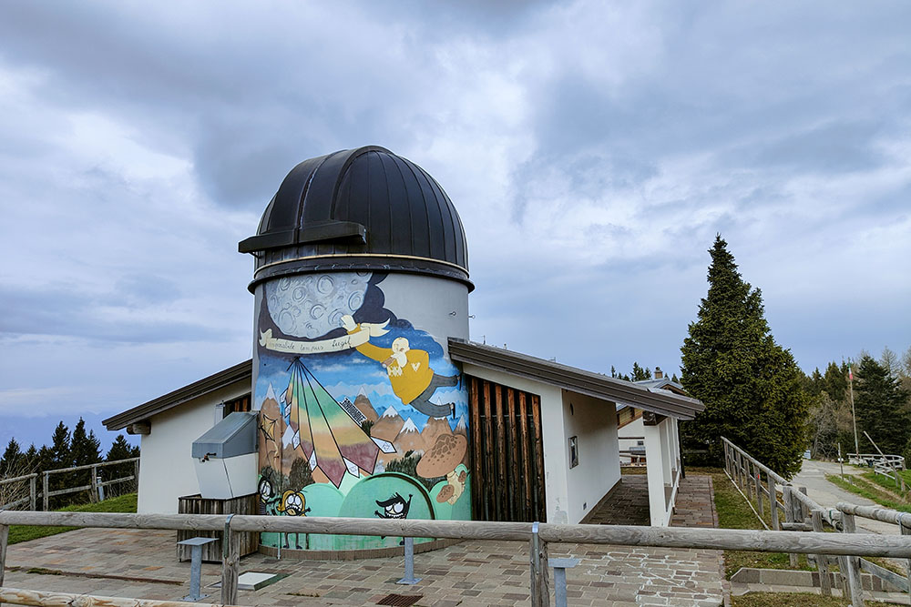
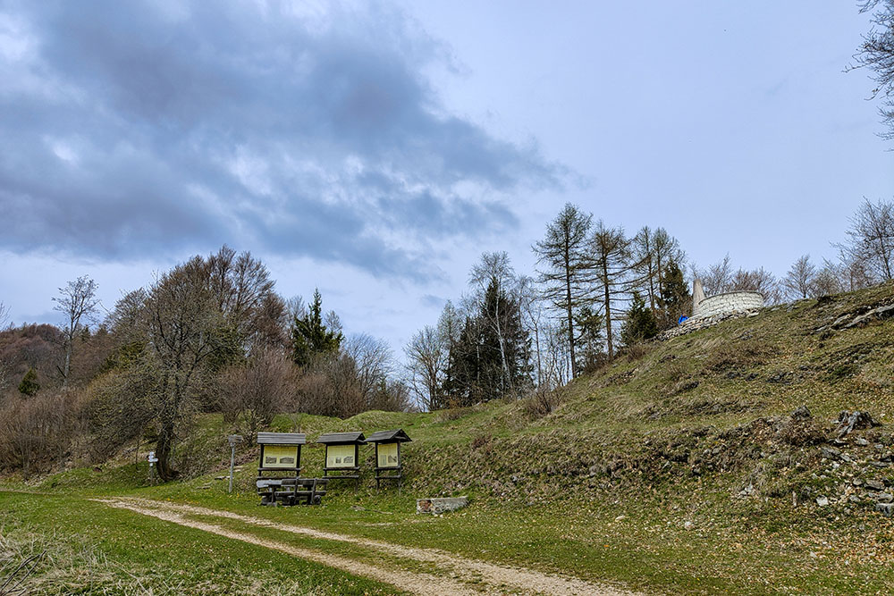
Osservatorio astronomico
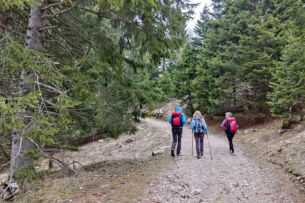
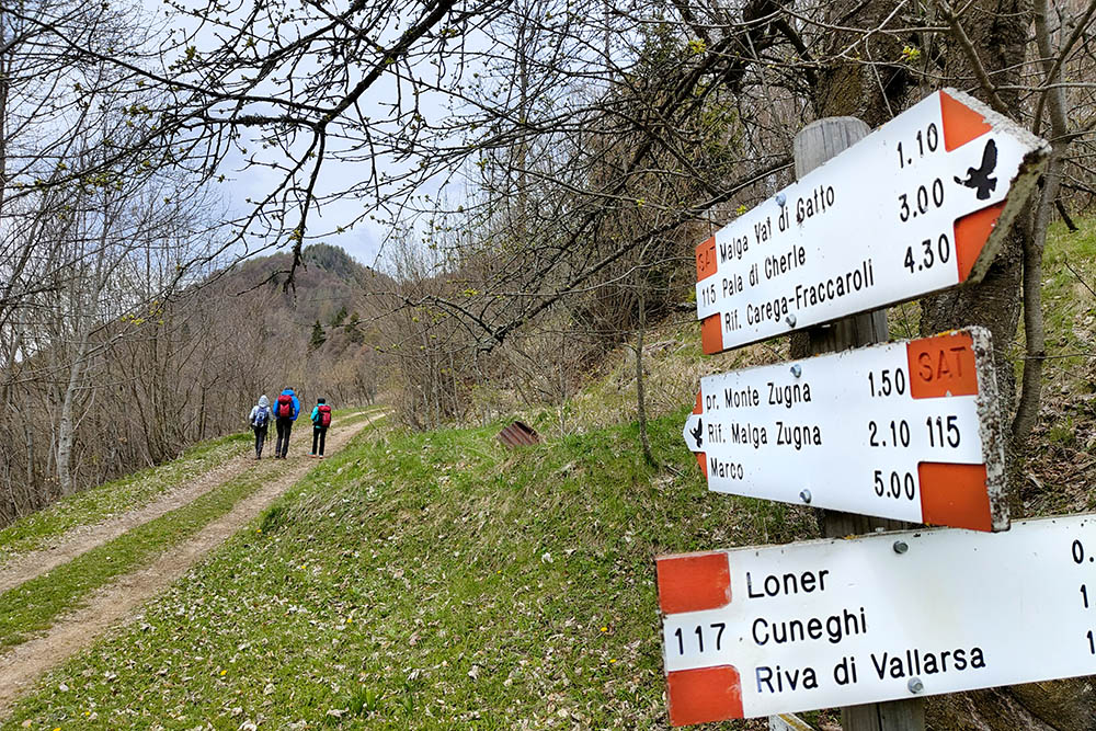
Si sale seguendo il segnavia n. 115
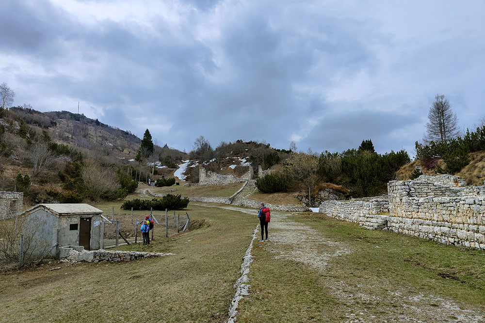
Parco della Pace
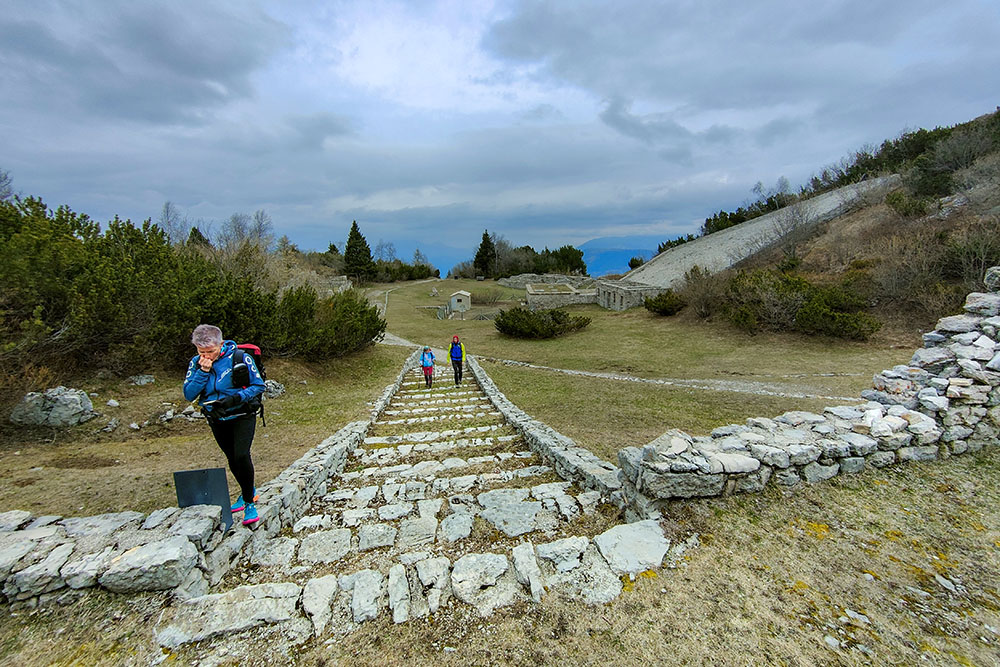
Caposaldo italiano di Coni Zugna
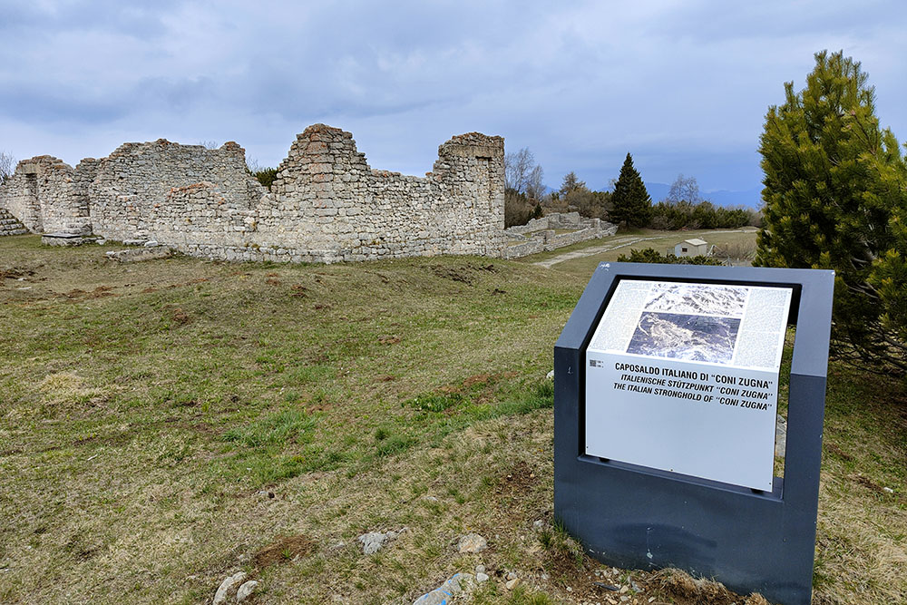
Caposaldo italiano di Coni Zugna
Si continua in cresta
Si scende
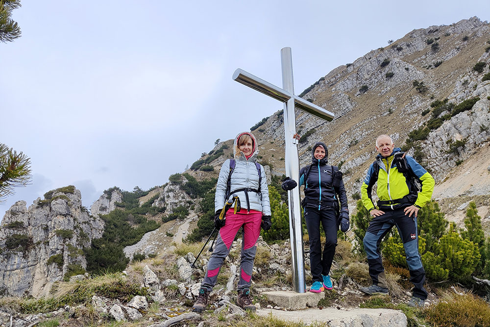
Croce metallica
Arrivati a Passo Buole
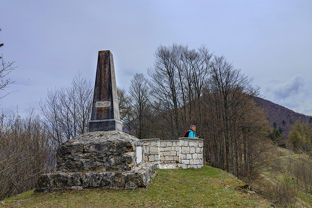
Monumento ai valorosi caduti
Si ritorna sul sentiero dell'andata
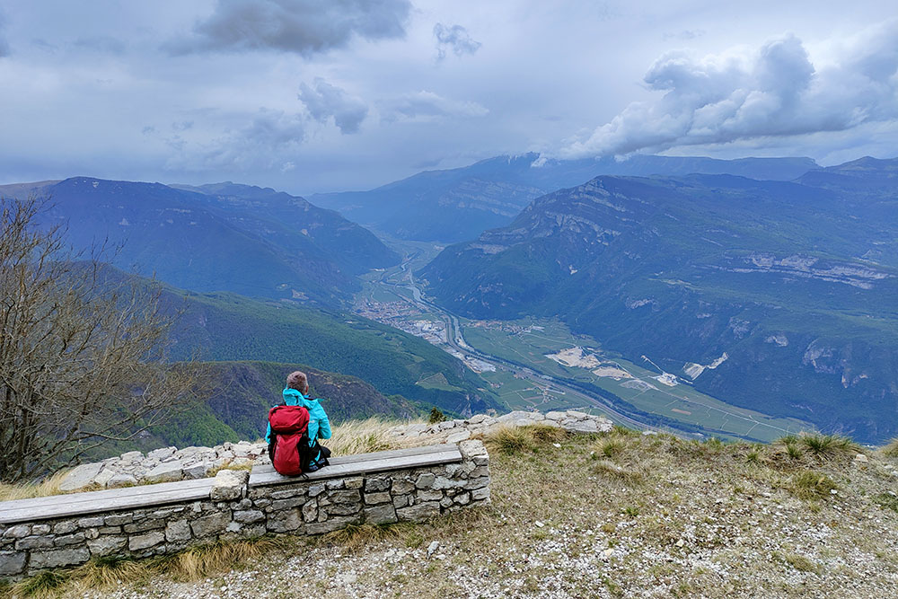
Panorama sul paese di Ala
Baita nei pressi della vetta del Monte Zugna
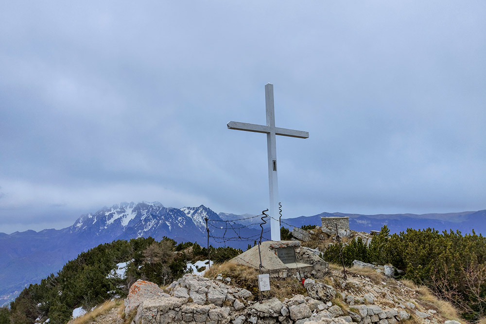
Croce sul Monte Zugna


