


![]()


Durata
 4:30 h
Distanza
 13,9 km
 Ascesa
 410 m
410 mDiscesa
 410 m
410 mH Max
 624 m
624 mH Min
 447 m
447 mTour around the Colle di Tenna
DESCRIPTION
Magnificent walk around Colle di Tenna with beautiful views of the lakes of Levico and Caldonazzo.
Interesting itinerary both from a landscape and historical point of view. It is a path that does not present particular technical difficulties, but it is a bit long. So you have to be a little trained. In autumn you can admire beautiful chromatic glimpses of the two lakes of Valsugana.
ITINERARY
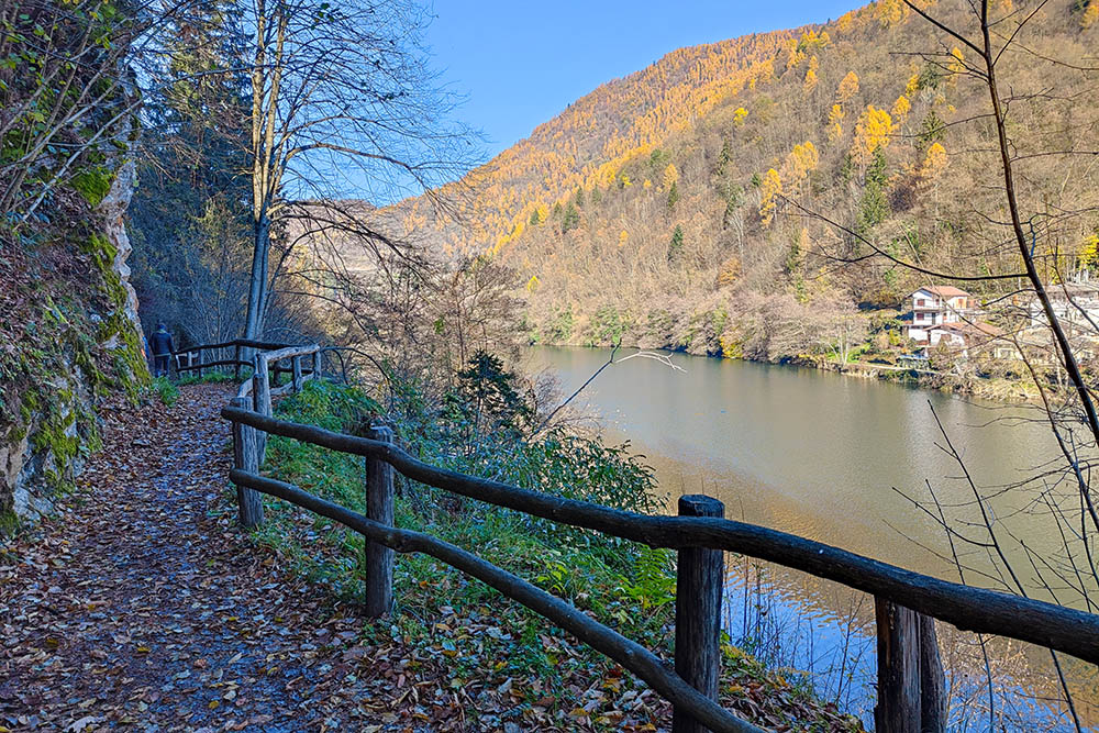
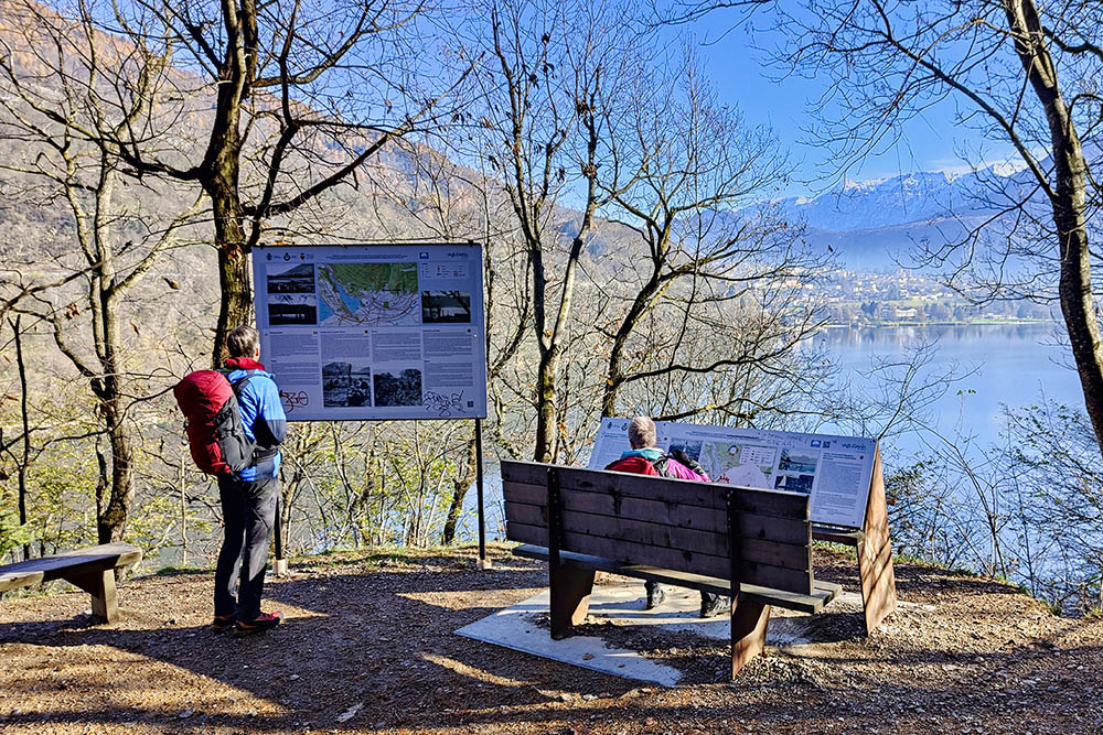
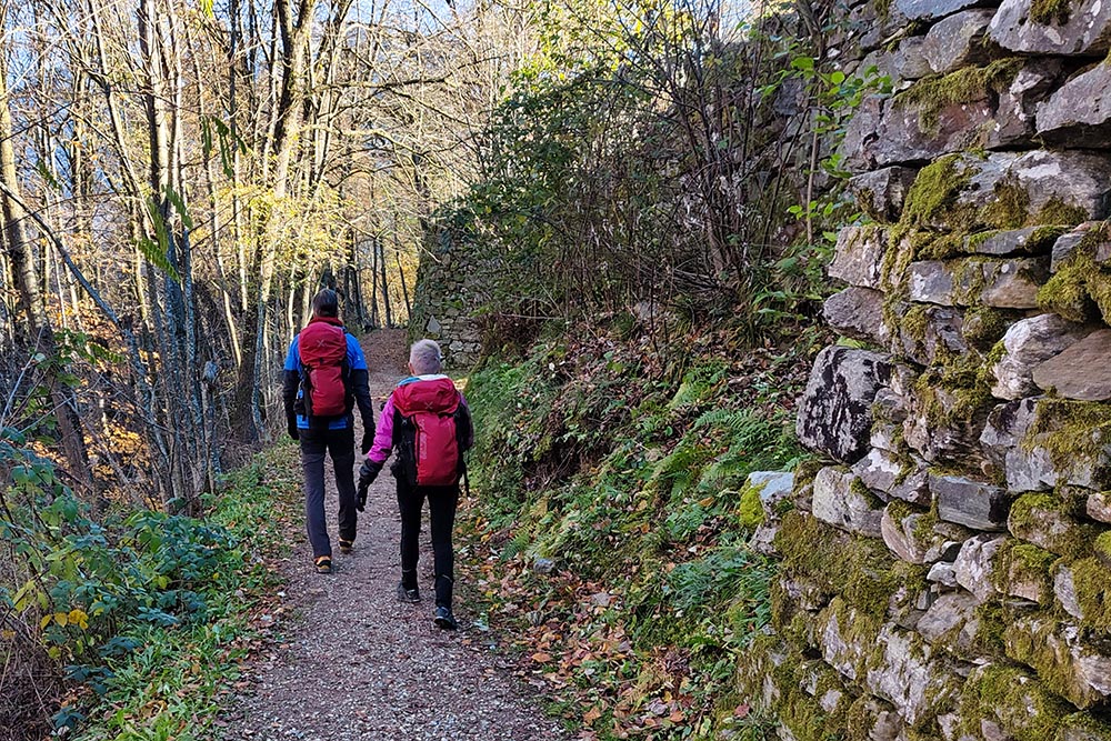
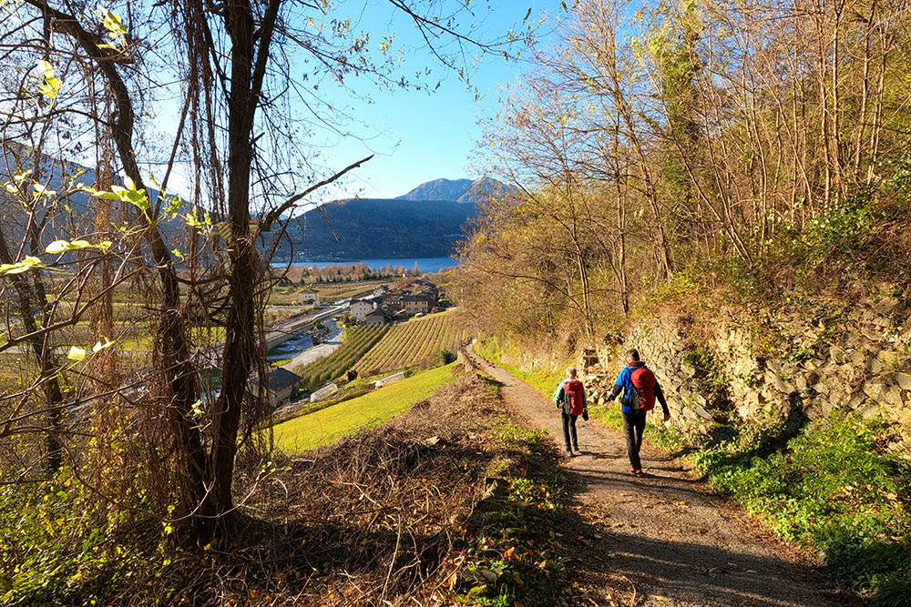
From the car park at the Hotel Margherita (602 m), in the Alberè pine forest, take path 2 and climb for about a hundred metres. Once you reach the road, turn left and follow the direction of Baita degli Alpini (620 m). Once at the hut, continue to the Cava dei Sasi panoramic point (624 m). Now go back to the crossroads and continue on trail number 2. Go down through the Val d'Orco, follow the Levico lakefront and then go up to the village of Tenna (569 m). Here you follow path no. 1 arriving first at the Austro-Hungarian fort (590 m), Forte di Tenna, and at the church of San Valentino (560 m). You go down and you reach Brenta (462 m) and then you go up again until you return to the starting point.
EXCURSION DATE
November 26, 2022
STARTING POINT
From the Hotel Margherita - Alberè
REFRESHMENT POINT
To the village of Tenna
AUTHOR’S SUGGESTIONS
It is recommended to take the hike in spring or autumn.
SAFETY TIPS
The viability of the proposed itinerary, like all mountain morphology, is subject to environmental changes due to natural events and weather conditions. Therefore, before leaving, consult the competent tourist offices and / or the refuges of reference.
Our GPX tracks are only indicative, that is, the route was carried out at best with the conditions of the trails and weather of that day. So always consider what to do on site.
Also remember to evaluate the route based on your physical abilities, training and the equipment you have.
You should leave someone the route you intend to do told.
Remember that the emergency number is 112.
EQUIPMENT
It is recommended to have the appropriate equipment for the route, weather conditions and season: windproof and / or rain jacket, map and / or GPS device, goggles, sunscreen, boots, first aid kit, specific clothing, gloves, backpack with food and drink.
RECOMMENDED MAPS
Tabacco 062 ALTOPIANO DI PINÈ - VALLI DI CEMBRA E DEI MOCHENI
INTERESTING LINKS
https://www.visitvalsugana.it/it/
HOW TO ARRIVE
From Pergine SS47 towards Levico. As soon as you leave Pergine at the Meridiana restaurant, turn left towards Alberè. Continue for about 2 km and you arrive at the Hotel Margherita.
PARKING AREA
From the Hotel Margherita - Alberè
GPS coordinates: 46.029877, 11.256341
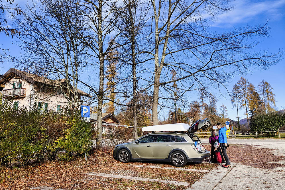
Parcheggio presso l'Albergo Margherita
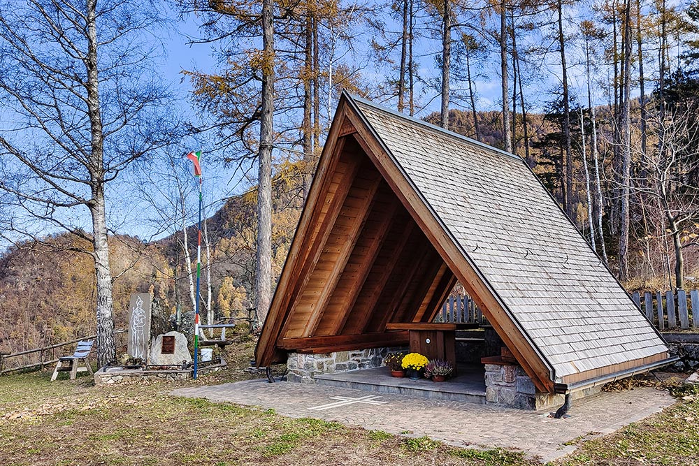
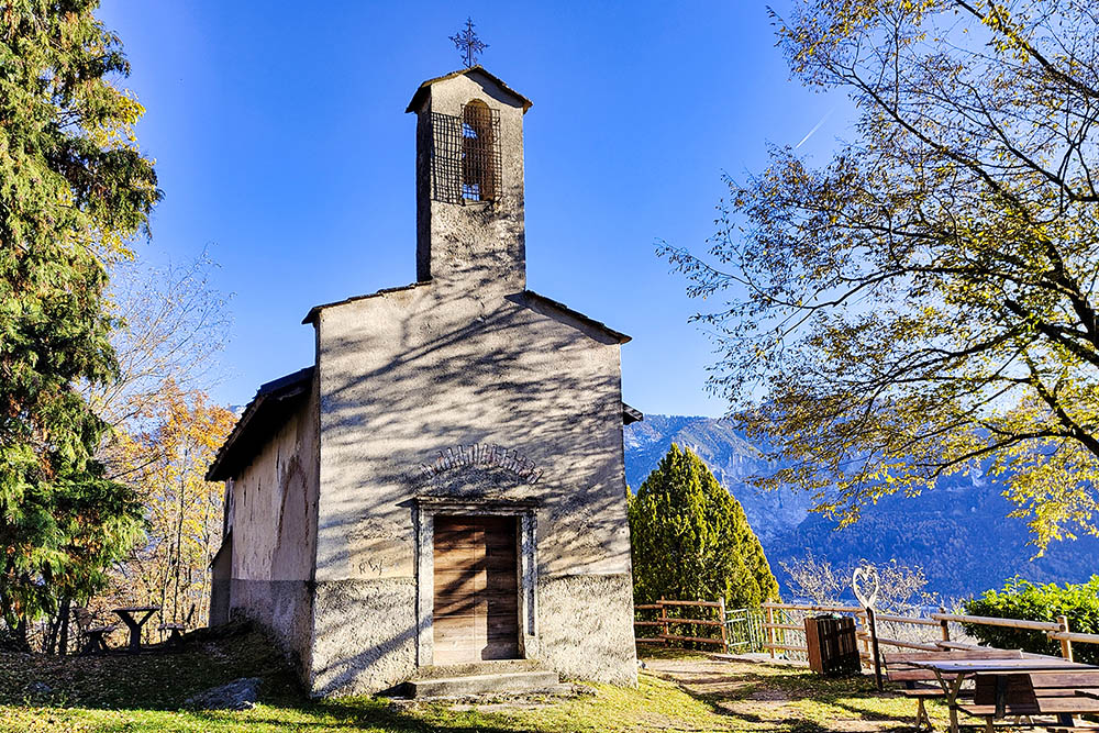
Chiesetta presso la Baita degli Alpini
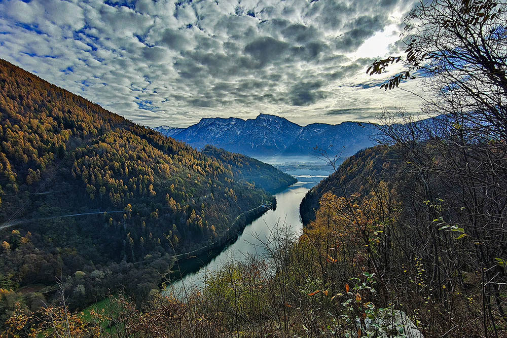
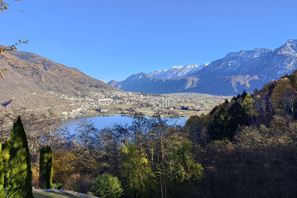
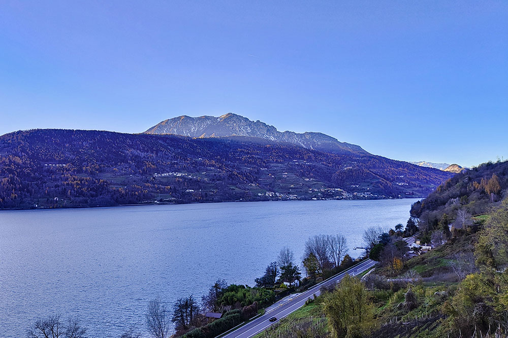
Vista sul Lago di Levico dal punto panoramico
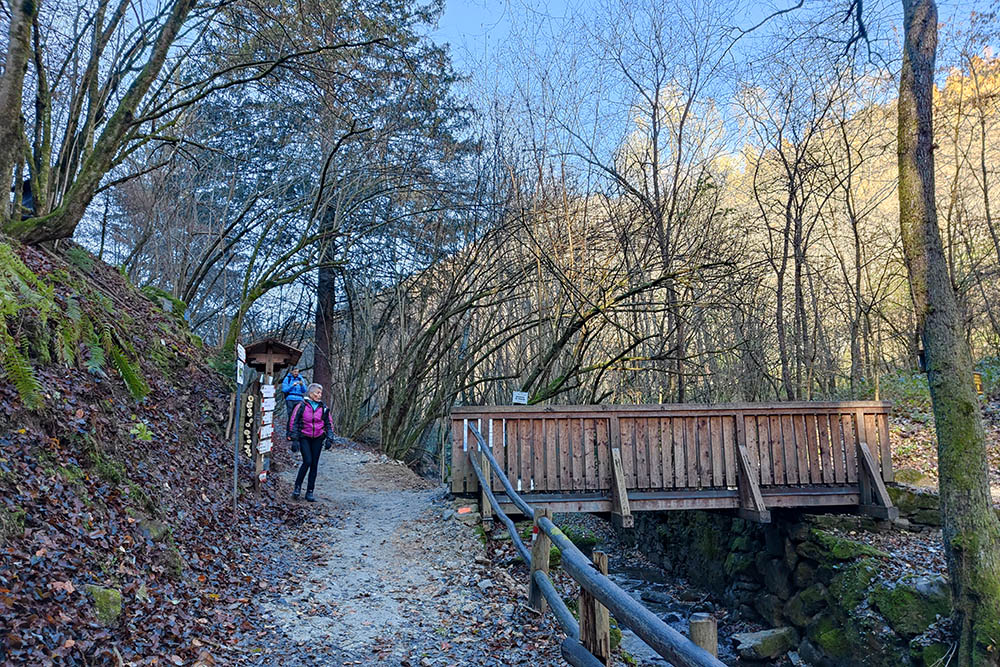
Ponte - Val dell'Orco
Lungolago - Lago di Levico
Punto panoramico sul Lago di Levico
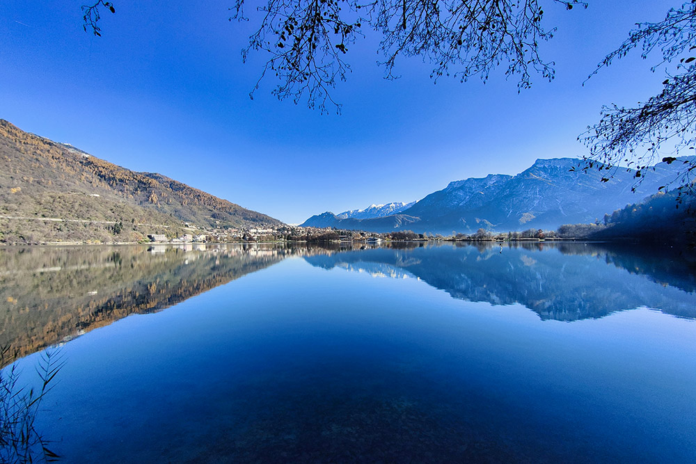
Lago di Levico
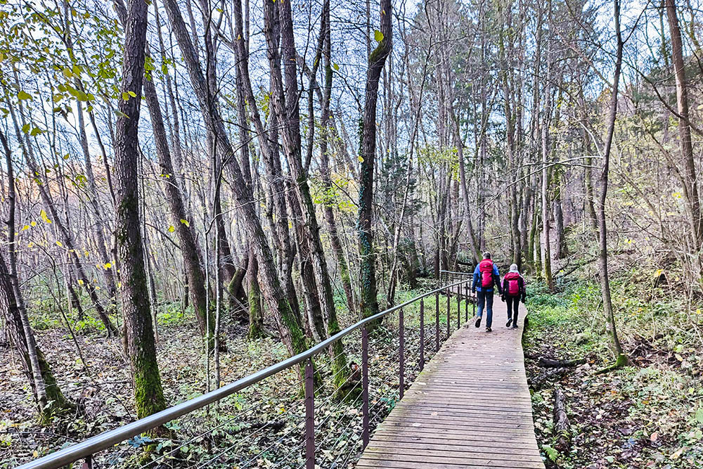
Passerelle
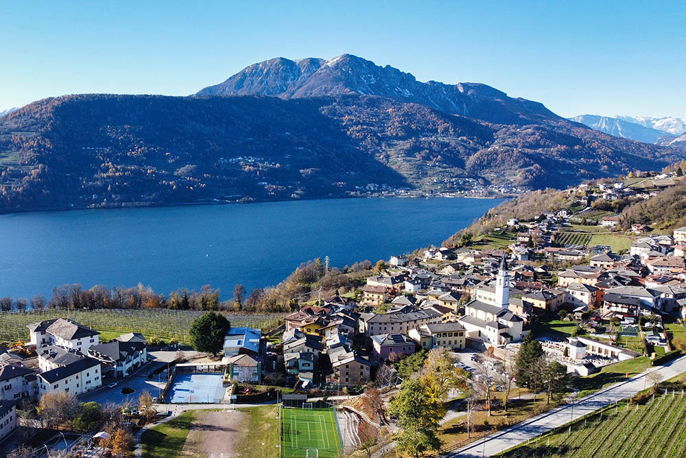
L'abitato di Tenna con sullo sfondo il Lago di Caldonazzo
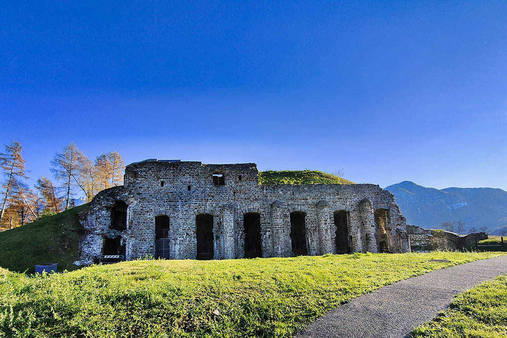
Forte austroungarico di Tenna
Stupenda vista sul lago e sul paese di Levico
Si scende verso la chiesetta di San Valentino
La chiesetta di San Valentino
Si scende verso la frazione Brenta
Il lago di Caldonazzo con alle spalle il Monte Marzola


