


![]()


Durata
 5:00 h
Distanza
 36,9 km
 Ascesa
 1300 m
Discesa
 1300 m
H Max
 1285 m
H Min
 63 m
63 mMTB Tour from Riva del Garda: Ponale - Lake Ledro - Bocca dei Fortini - Punta Larici
DESCRIPTION
Very scenic route that joins two lakes, that of Benaco with that of Ledro.
The excursion starts from the beautiful town of Riva del Garda and runs along the Strada del Ponale both in the outward and return journeys. Once above the Belvedere, the circular itinerary starts that will take us to Lake Ledro, Bocca Fortini, Rocchetta, Bocca Larici, Pregasina. The tour is overall simple except for the downhill stretch, Passo Rochetta - Strada Palaer Alta, because the path presents technical difficulties: exposed roots, stones and steps. For most of the tour the view is spectacular.
ITINERARY
From the lakeside promenade of Riva del Garda we go up the Ponale path (trail sign 732) and following the indication for Lago di Ledro we arrive at Molina di Ledro (655 m). We pass to the left of the Palafitte Museum and continue along the lake for about 300 meters until we take Via Pastei on the left. Now we follow the Bocca dei Fortini signpost for 6.8 km. Once in Bocca dei Fortini (1243 m) take the 421 towards Passo Guil. Arrived at the pass, continue on the 422 to Passo Rocchetta (1159 m). Here you follow the 422 going down to the left. The stretch is technical. At the end of the path we keep to the right on the dirt road and we reach Malga Palaer (946 m). We go down to Bocca Larici (890 m) on 422B. Not far away there is a truly beautiful viewpoint: Punta Larici. You can go on foot or by bike, but you have to push it. We continue on 422B and arrive at Pregasina (532 m). On the asphalted road we go down to the Belvedere del Ponale and then along the Ponale path we return to Riva del Garda.
STARTING POINT
Riva del Garda
REFRESHMENT POINT
Riva del Garda, Molina di Ledro and Pregasina
AUTHOR’S SUGGESTIONS
Be careful in the downhill stretch from Passo Rochetta, because the path presents technical difficulties: exposed roots, stones and steps.
SAFETY TIPS
The viability of the proposed itinerary, like all mountain morphology, is subject to environmental changes due to natural events and weather conditions. Therefore, before leaving, consult the competent tourist offices and / or the refuges of reference.
Our GPX tracks are only indicative, that is, the route was carried out at best with the conditions of the trails and weather of that day. So always evaluate what to do on site.
Also remember to evaluate the route based on your physical abilities, the training and the equipment you have.
For e-bike owners: evaluate the kilometers and the altitude difference in relation to the battery power and the weight of the cyclist well.
You should leave someone the route you intend to do told.
Remember that the emergency number is 112.
EQUIPMENT
It is recommended to have the appropriate equipment for the route, weather conditions and season: helmet, windproof and / or rain jacket, map and / or GPS device, goggles, helmet and / or handlebar torch (an unexpected event may lengthen the travel times), sunscreen, MTB shoes, first aid kit, bike repair kit, specific clothing, whistle or signal bell, reflective bike wheels, gloves, backpack with food and drinks.
RECOMMENDED MAPS
Tabacco 061 ALTO GARDA - LEDRO - MONTE BALDO NORD
INTERESTING LINKS
http://www.ponale.eu/
HOW TO ARRIVE
A22 in Rovereto exit Rovereto Sud / Lago di Garda Nord and then the SS240 up to Riva del Garda.
PARKING AREA
Free in Viale dei Tigli, Riva del Garda TN
GPS coordinates: 45.893573, 10.842884
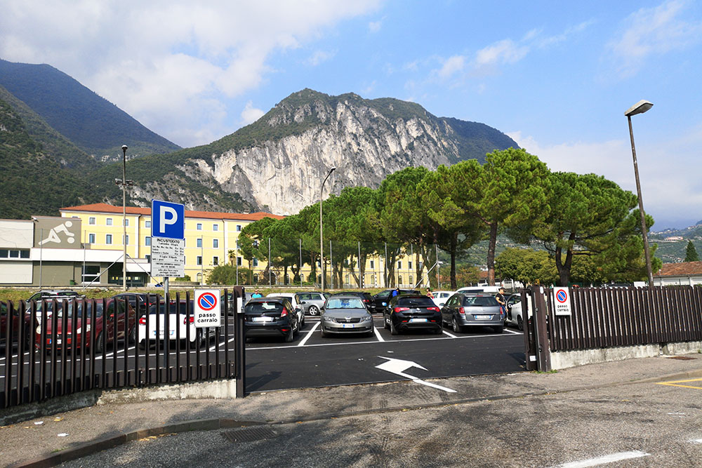
Parcheggio a Riva del Garda
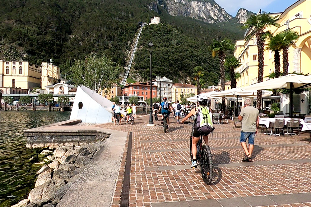
Il bellissimo lungolago di Riva del Garda
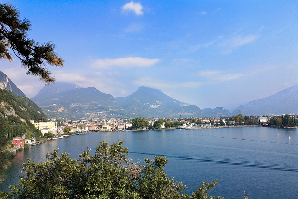
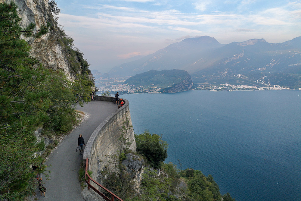
Veduta di Riva del Garda dalla Ponale
Si sale sulla Strada della Ponale
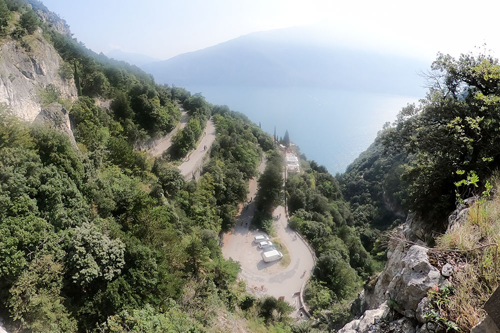
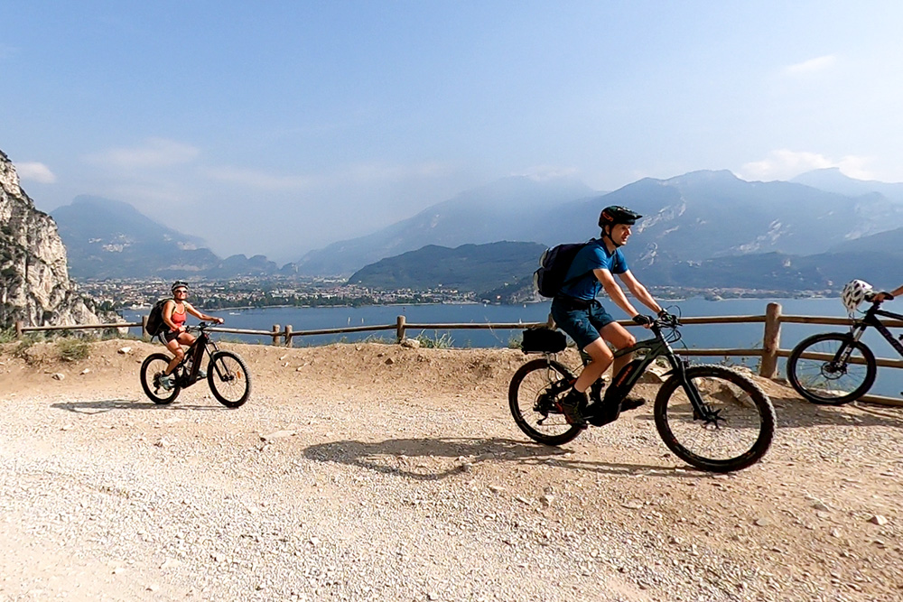
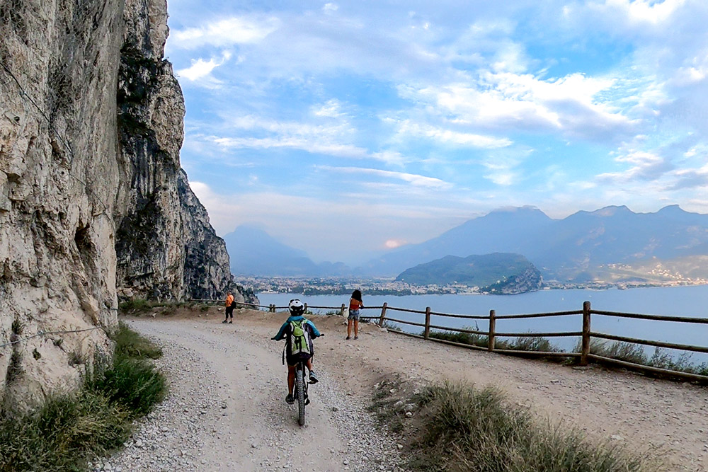
Abbiamo superato il Belvedere
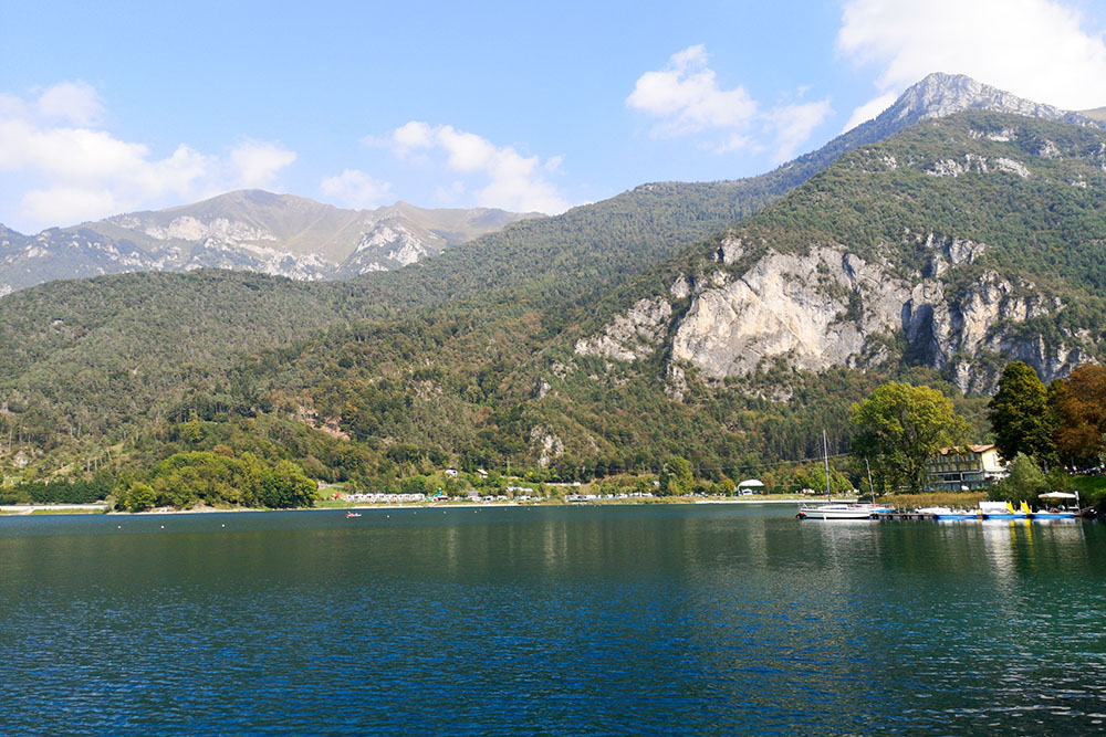
Il Lago di Ledro
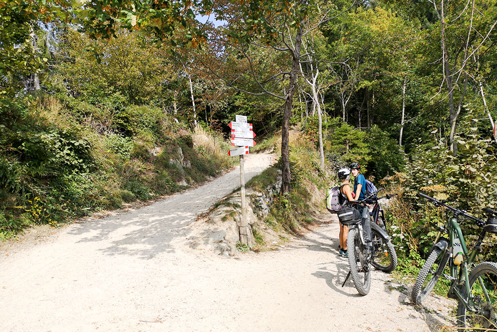
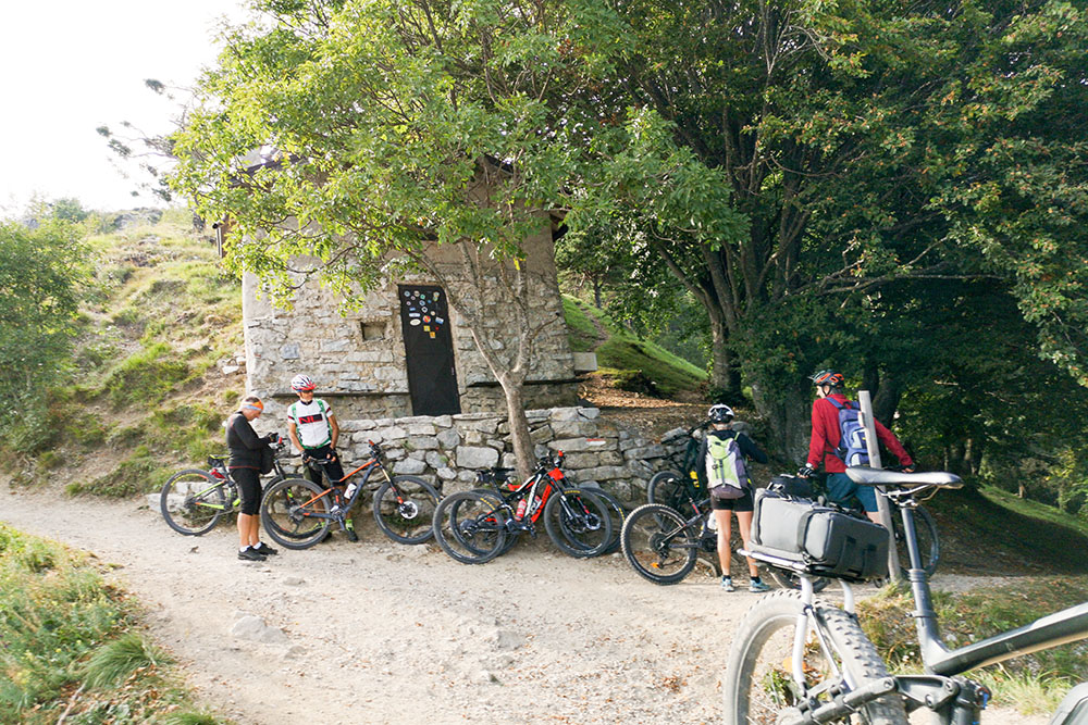
Arrivati a Bocca dei Fortini
Si va verso Passo Guil
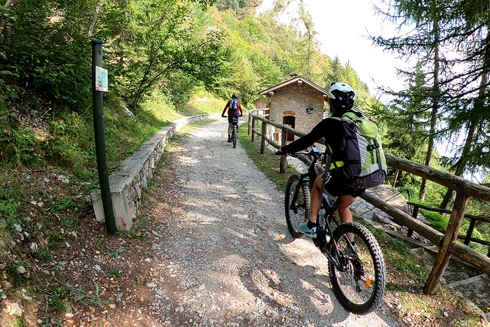
Molto velocemente siamo giunti a Passo Rocchetta
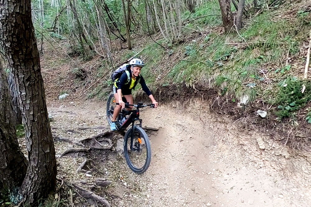
Si scende per un sentiero con passaggi tecnici
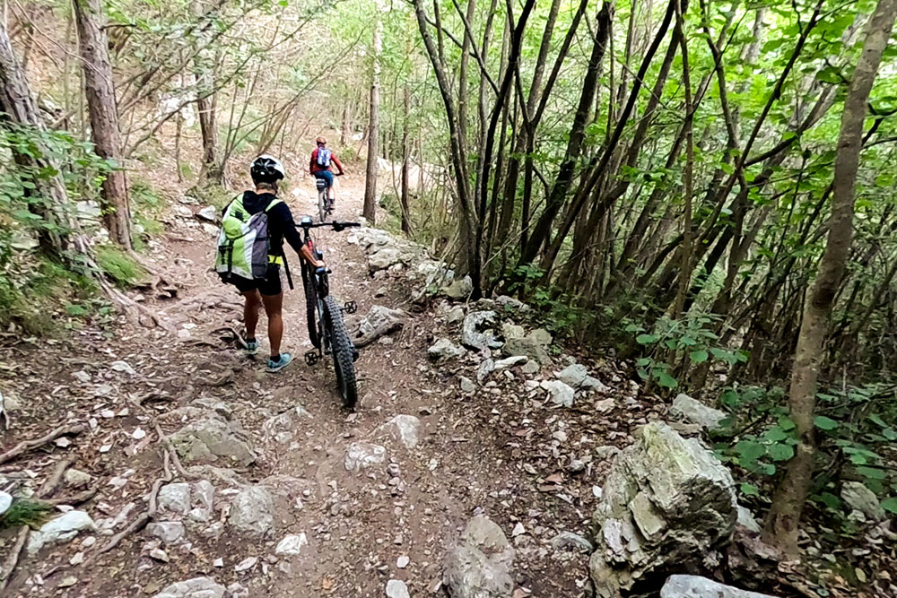
In alcuni punti scendiamo dalla bici
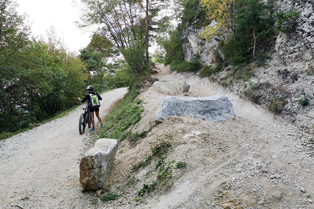
Abbiamo terminato il sentiero
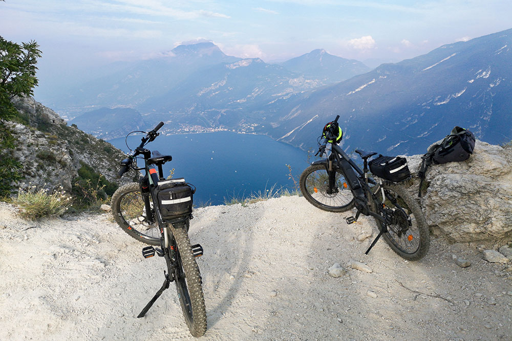
Punta Larici
Dopo Pregasina si scende verso il lago
Rifacciamo il tratto della Ponale per ritornare a Riva del Garda


