


![]()


Durata
 7:30 h
Distanza
 13,4 km
 Ascesa
 1452 m
Discesa
 1452 m
H Max
 2574 m
H Min
 1260 m
Rifugio Carè Alto - Dante Ongari
DESCRIPTION
Circular hike to the Rifugio Carè Alto.
The Rifugio Carè Alto - Dante Ongari is located a thousand meters below the summit of the peak whose name it bears.
The paths of this itinerary are all tough: almost 1500 meters in altitude in 13 km. So it is suitable for more trained hikers. From the car park to the refuge there are 1200 meters in altitude and it takes about 3 and a half hours to walk. If the day is sunny and clear, you can enjoy a beautiful view.
This area is full of tangible memories of the Great War.
ITINERARY
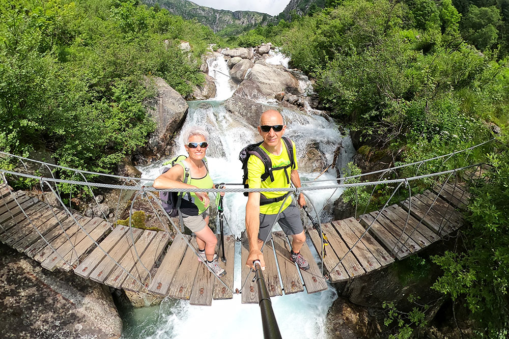
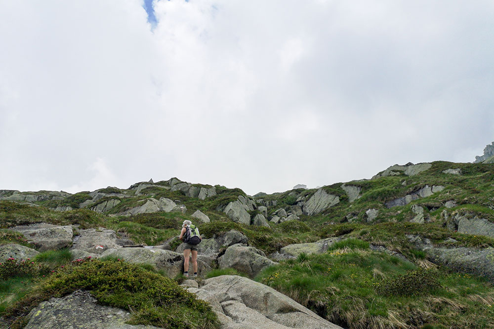
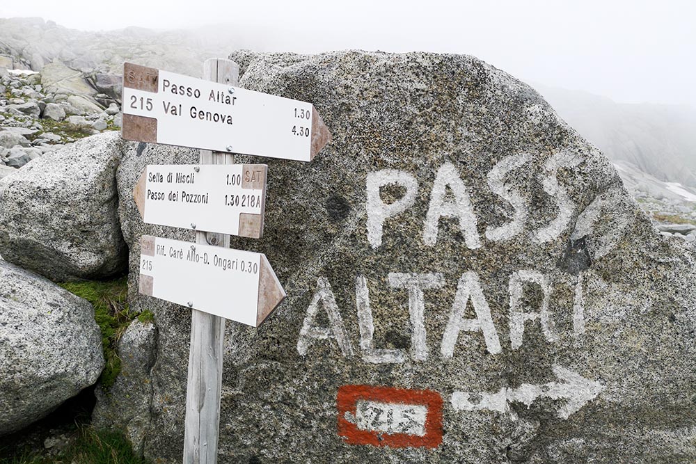
From the car park in Pian della Sega (1260 m) take trail 213 which leads directly to the Rifugio Carè Alto - Dante Ongari (2459 m). You return by making a loop: take the 215 up to Passo Altar (2385 m) and then for the 215B go down to Ponte Zucal (1638 m). Last stretch on 213 and return to the parking lot.
STARTING POINT
Pian della Sega locality
REFRESHMENT POINT
Rifugio Carè Alto (2459 m)
AUTHOR’S SUGGESTIONS
It is a route for trained hikers.
SAFETY TIPS
The viability of the proposed itinerary, like all mountain morphology, is subject to environmental changes due to natural events and weather conditions. Therefore, before leaving, consult the competent tourist offices and / or the refuges of reference.
Our GPX tracks are only indicative, that is, the route was carried out at best with the conditions of the trails and weather of that day. So always consider what to do on site.
Also remember to evaluate the route based on your physical abilities, training and the equipment you have.
You should leave someone the route you intend to do told.
Remember that the emergency number is 112.
EQUIPMENT
It is recommended to have the appropriate equipment for the route, weather conditions and season: windproof and / or rain jacket, map and / or GPS device, goggles, sunscreen, boots, first aid kit, specific clothing, gloves, backpack with food and drink.
RECOMMENDED MAPS
Tabacco 077 ADAMELLO SUD - VAL DAONE - VALLI GIUDICARIE
INTERESTING LINKS
http://www.carealto.it/
HOW TO ARRIVE
From Tione di Trento follow the Val Rendena SS239 up to Borzago, here you turn left following the signs for Val di Borzago - Rifugio Carè Alto. Go up the Val Borzago until the end of the road in Pian della Sega (1260 m) where the parking is located.
PARKING AREA
In Pian della Sega - Val Borzago
GPS coordinates: 46.104408, 10.661318
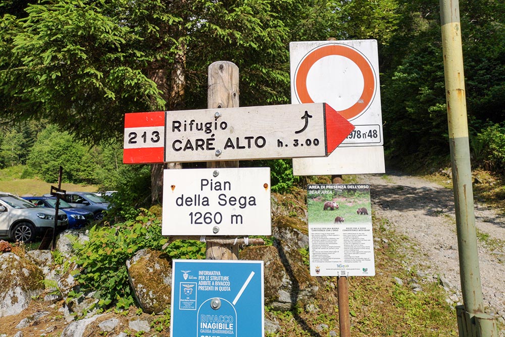
Parcheggio in località Pian della Sega - Val Borzago
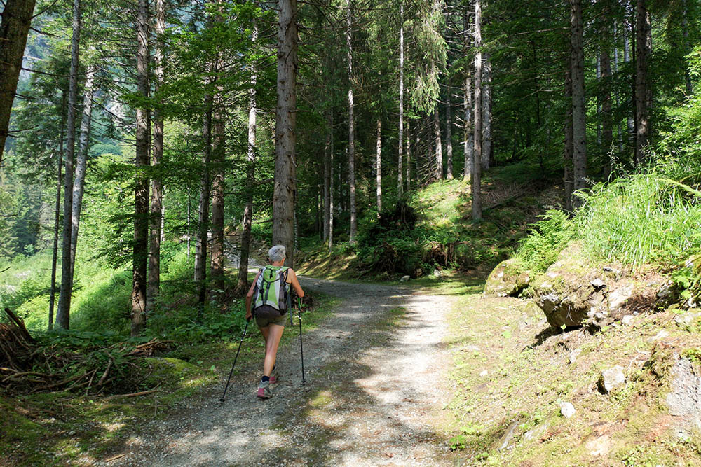
Primo tratto del sentiero 213
Sul Ponte Zucal
Si vede in lontananza il rifugio
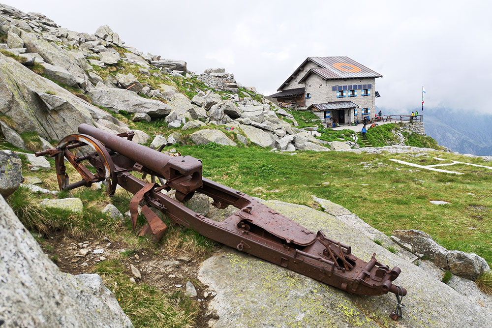
Il Rifugio Carè Alto
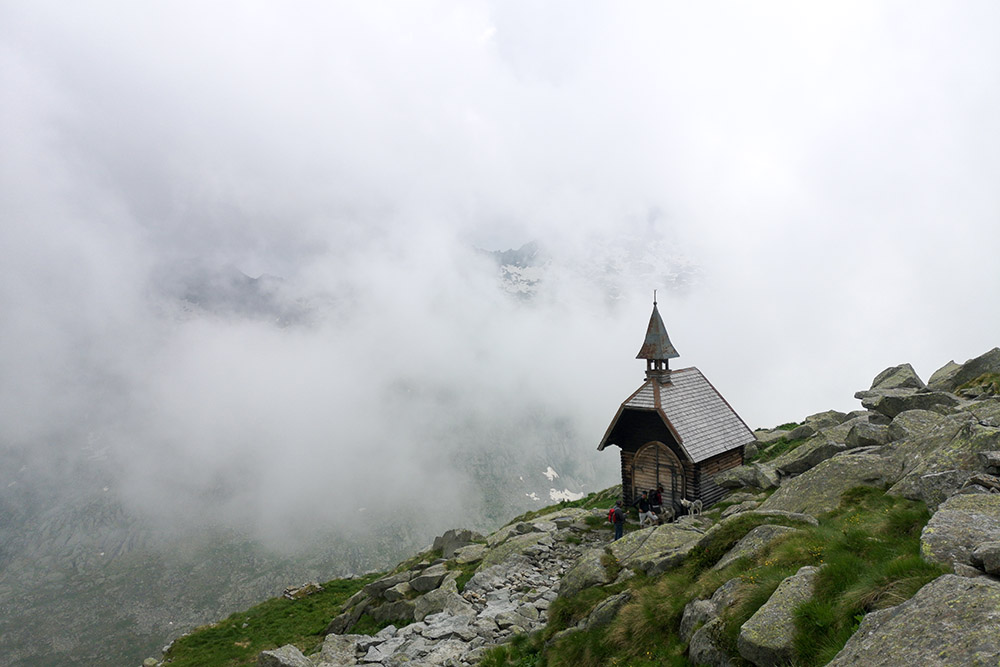
La chiesetta del Rifugio Carè Alto
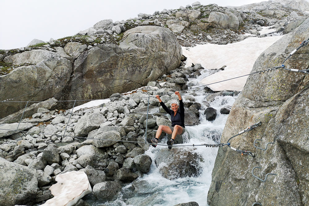
Percorrendo il sentiero 215 si passa sopra un torrente
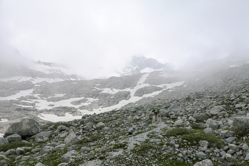
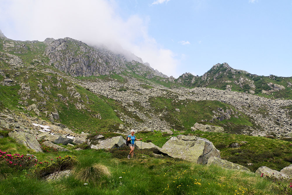
Purtroppo le nuvole si sono abbassate
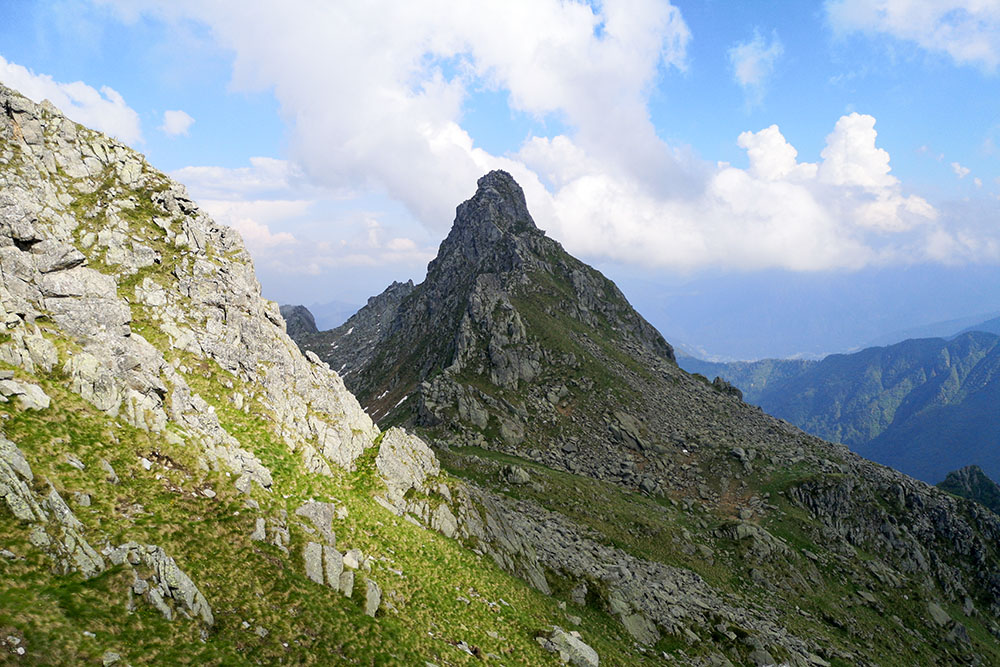
Si continua per il Passo Altar
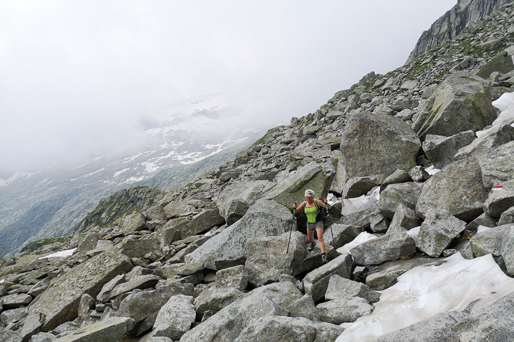
Il sentiero non è dei più facili
Tra poco si arriva al Passo Altar
Si scende su un sentiero ripido verso il Ponte Zucal


