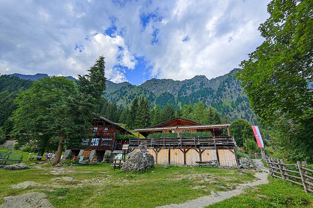
Sopranes Lakes
DESCRIPTION
Between plateaus and lakes: a challenging itinerary in the mountains of South Tyrol.
Geographical Location
The ten Sopranes Lakes are located in the heart of the Texelgruppe Nature Park, northwest of Tyrol in South Tyrol. This complex represents the largest group of high-altitude lakes in all of South Tyrol, with a total area of 30 hectares. The lakes, spread across an altitude range of 2120 to 2590 meters, form the largest lake plateau in Europe.
Among the main bodies of water, Langsee stands out for its size, with a length of 1000 meters and a maximum depth of 35 meters. In contrast, Mückensee is the smallest of the group and, with a depth of just 50 centimeters, can dry up during the summer months. Other noteworthy lakes include Grünsee, Schwarzsee, and Kesselsee, each with its unique characteristics and colors.
Hiking
The hike through the Sopranes Lakes is a challenging but rewarding experience, suitable for more experienced hikers. The circular route extends over 17 km, with an elevation gain of over 1100 meters. The itinerary requires good physical preparation and sure-footedness, as it includes steep and particularly exposed sections, such as the descent from the Hochegangscharte.
Despite the difficulties, the hike offers extraordinary views of the lakes, whose waters vary in a range of hues and reflections depending on the time of day and weather conditions. The proposed itinerary includes visits to five of the ten lakes, but with more extensive planning, it is possible to explore the entire group.
For those wishing to extend the experience, it is possible to divide the hike into several days, staying overnight in one of the accommodations along the route. Each stage offers new perspectives on this fascinating corner of South Tyrol, making each day an unforgettable adventure amid unspoiled nature and breathtaking scenery.
ITINERARY
From the top station of the Hochmuth Cable Car (1361 m), take trail number 22 and, passing by Gasthaus Steinegg (1432 m), reach Gasthaus Mutkopf (1684 m) in about an hour. Continue along trail 22 to Pfitscher See (2126 m) and Kasersee (2117 m). Nearby is the Oberkaseralm Refuge (2131 m). Continue climbing, and upon reaching the ruins of the Meraner Hütte (2312 m), you will also see Mückensee (2305 m). Continuing uphill, you reach two more lakes: Grünsee (2338 m) and Langsee (2380 m). Halfway along Langsee, take trail 7, which first leads to Hochegangscharte (2455 m) and then to Hochganghaus (1839 m). Now follow the Merano High Mountain Trail, marked as trail 24, which passes by Leiteralm (1520 m) and returns to the starting point.
EXCURSION DATE
July 28, 2024
STARTING POINT
Top station of the Hochmuth Cable Car
REFRESHMENT POINT
Gasthaus Steinegg, Gasthaus Mutkopf, Oberkaseralm Refuge, Hochganghaus, Leiteralm
AUTHOR’S SUGGESTIONS
Be very careful during the descent from Hochegangscharte, as it is steep and exposed.
SAFETY ADVICE
The viability of the proposed itinerary, like the entire mountain morphology, is subject to environmental changes due to natural events and weather conditions. Therefore, before starting, consult the relevant tourist offices and/or the shelters along the route. Our GPX tracks are only indicative, meaning the route was completed under the best conditions of trails and weather on that day. Always assess the situation on-site.
Also, remember to assess the route based on your physical abilities, fitness level, and the equipment you have. It is advisable to inform someone of the itinerary you intend to follow.
Remember, the emergency number is 112.
EQUIPMENT
It is recommended to have appropriate gear for the route, weather conditions, and season: wind and/or rain jacket, map and/or GPS device, sunglasses, sunscreen, hiking boots, first aid kit, specialized clothing, gloves, backpack with food and drinks.
RECOMMENDED MAPS
Tabacco 011 Meran und Umgebung - Merano e dintorni
INTERESTING LINKS
https://www.talbauer.it/de/gasthaus/gasthof-talbauer/
HOW TO ARRIVE
From Merano, take the SS44 towards the Passeier Valley. After a few kilometers, turn left following the Hochmuth sign. Arrive in Tyrol and continue to follow the same sign.
PARKING AREA
At the Hochmuth Cable Car in Tyrol.
GPS coordinates: 46.696394, 11.152414
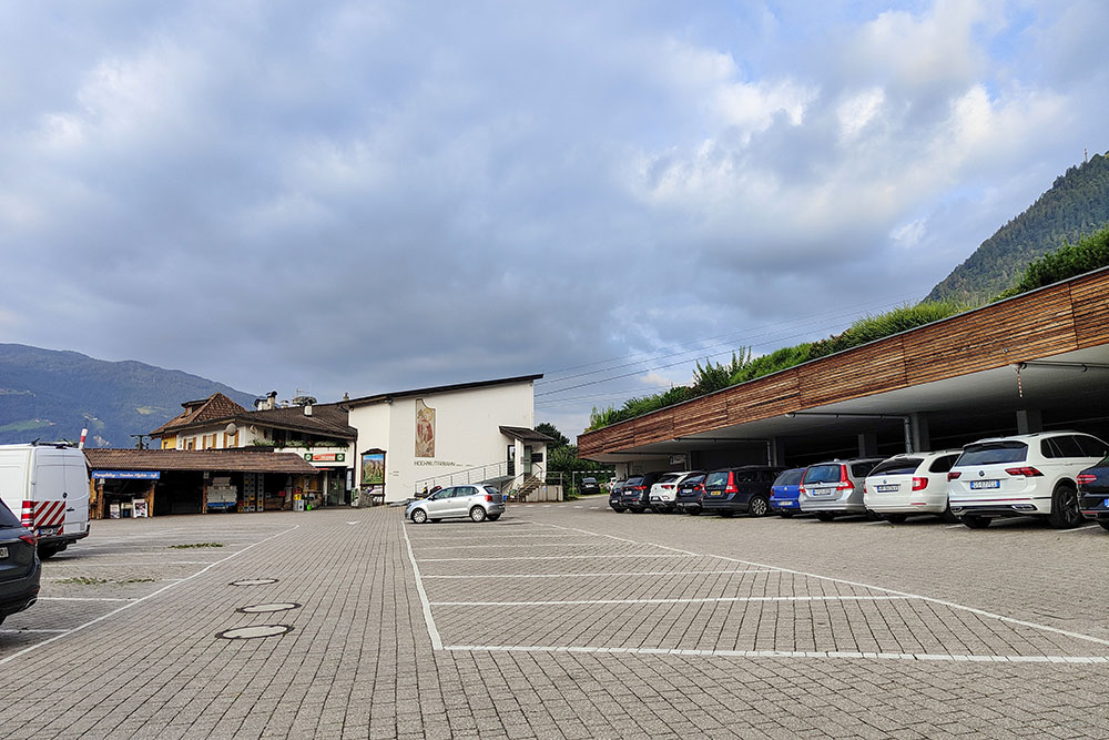
Parcheggio a Tirolo
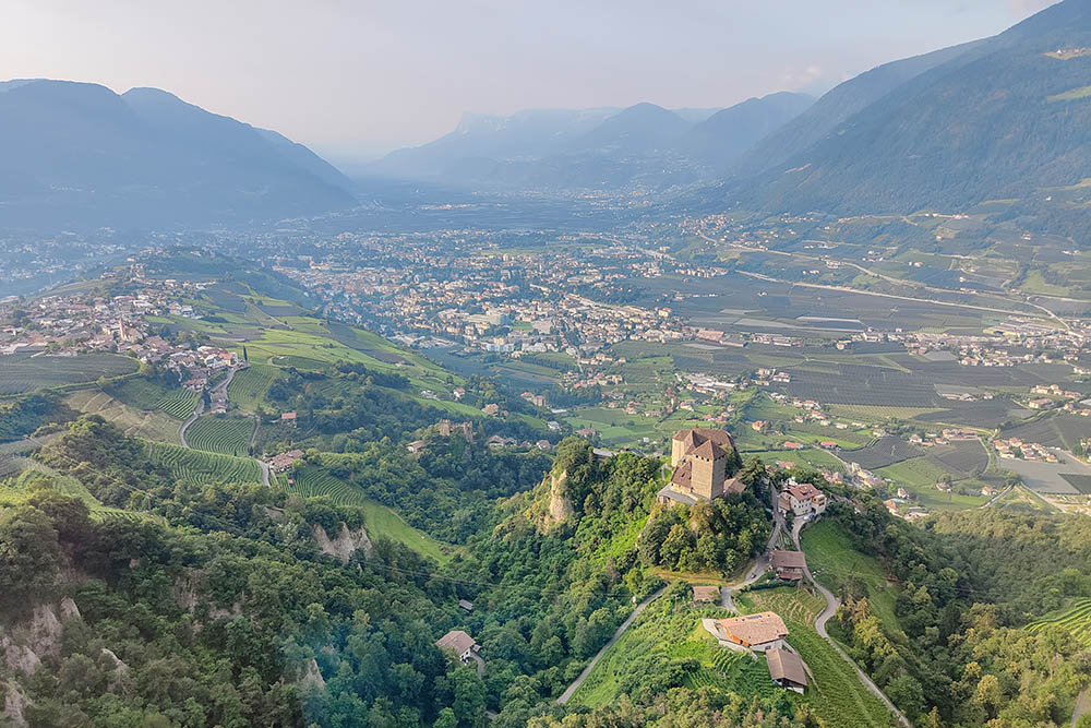
Vista sul Castel Tirolo e la Conca di Merano
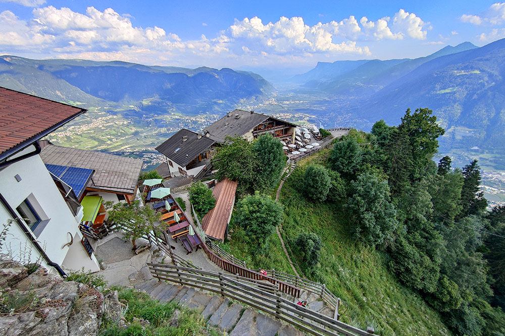
Siamo arrivati ad Alta Muta
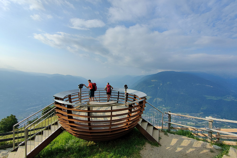
Belvedere nei pressi del Gasthaus Steinegg
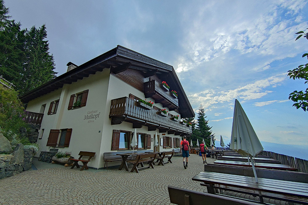
Gasthaus Mutkopf
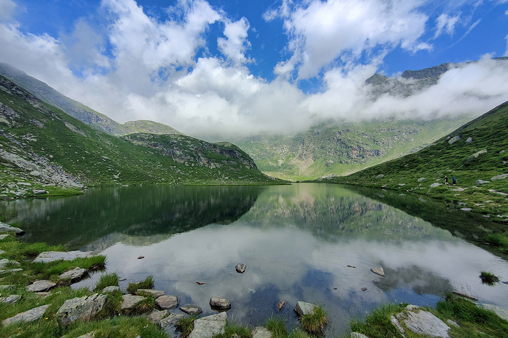
Il Lago di Vizze
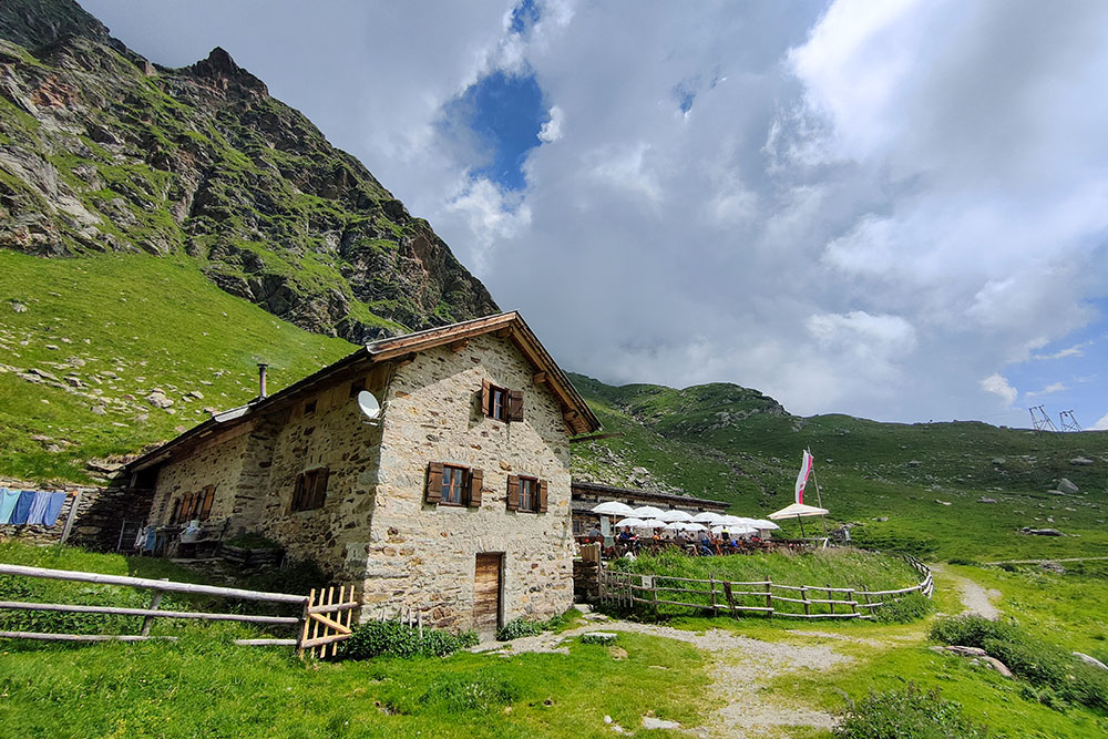
Il Rifugio Malga Oberkaser
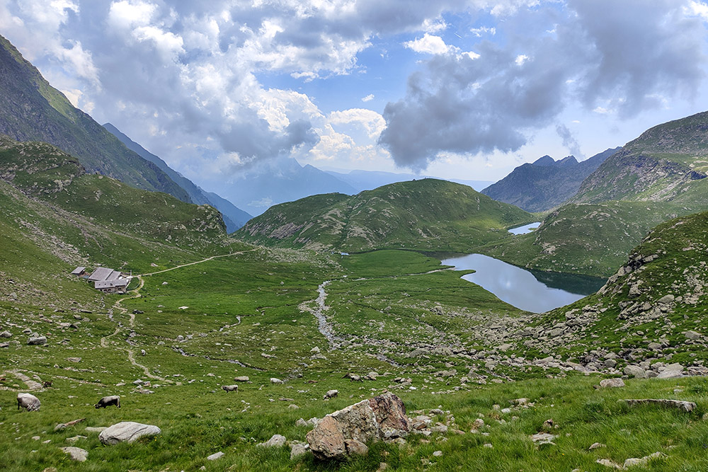
Vista sui laghi di Vizze e della Casera

I Resti del Rifugio Meraner
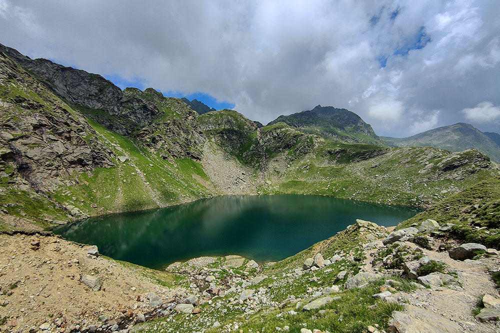
Il Lago Verde
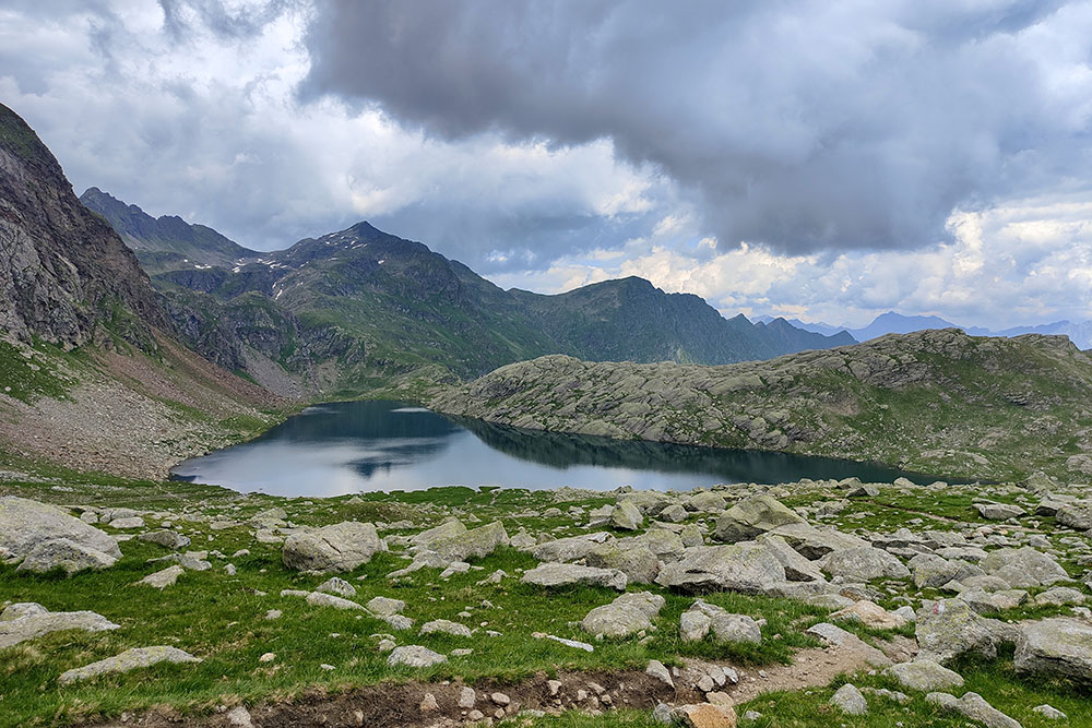
Il Lago Lungo
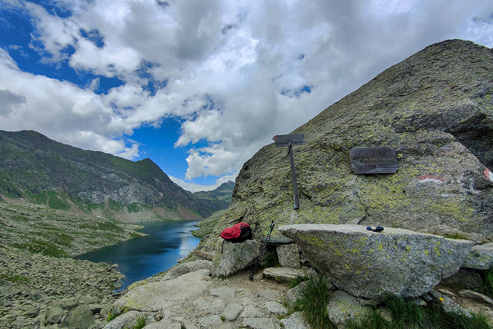
Il Passo del Valico
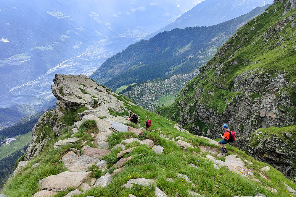
Si scende per un sentiero molto ripido ed esposto
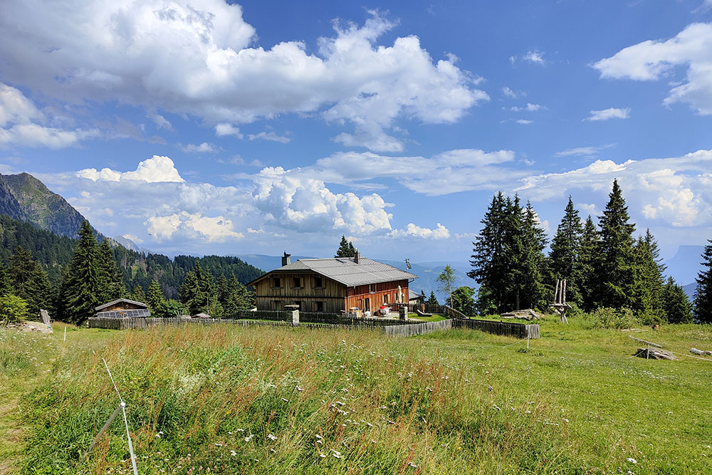
Il Rifugio Casa del Valico
