


![]()


Durata
 4:30 h
Distanza
 10,4 km
 Ascesa
 745 m
745 mDiscesa
 745 m
745 mH Max
 2060 m
H Min
 1341 m
Monte Cornetto di Folgaria from Sommo Pass
DESCRIPTION
Discover Monte Cornetto: an unmissable destination in the Venetian Prealps.
Geographical Location
Monte Cornetto di Folgaria, located north of the town of the same name, rises majestically along the Becco di Filadonna ridge. Part of the Vigolana Group in the Venetian Prealps, it is a sought-after destination for hiking enthusiasts.
The Hike
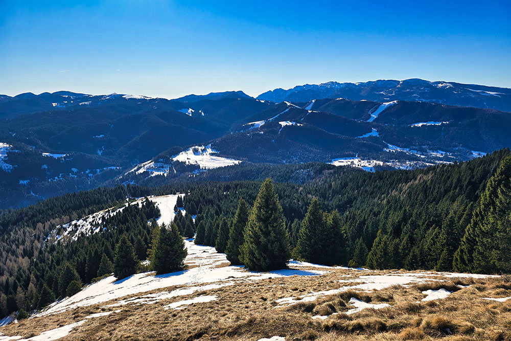
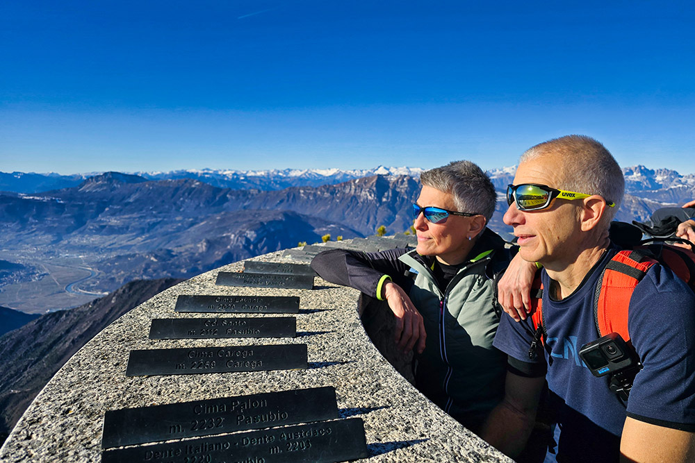
A classic and highly appreciated hike leads to Monte Cornetto di Folgaria, starting from Sommo Pass. In the initial stretch, the itinerary runs along the southern side of the mountain, passing through dense fir forests and wide meadows. Upon reaching higher altitudes, the view becomes extraordinary. Heading north in a counterclockwise direction, you can admire Becco di Filadonna, the Brenta Group, the Adamello Group, the Adige Valley, Monte Baldo, Valsugana, Cima d’Asta, and the Lagorai Group.
For the more adventurous, from Monte Cornetto, you can continue along the SAT Trail 425, which connects the three main peaks of the ridge and leads to Becco di Filadonna (2150 m). This more challenging section offers further breathtaking panoramic views.
ITINERARY
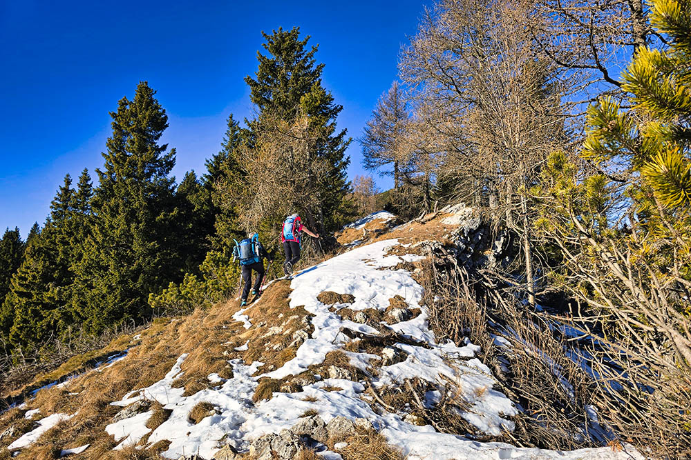
From Sommo Pass (1341 m), follow the dirt road marked Monte Cornetto di Folgaria. After approximately 1.6 km, you reach a crossroads (1508 m). Here, we followed the sign for Vertical, heading east and then climbing steeply up the snowy meadows. We joined Trail 451 and arrived at Anticima Cornetto (1997 m). From here, it’s just a short distance. Follow the 425 trail markers to the summit of Monte Cornetto di Folgaria (2060 m). Return to Anticima, take the right along Trail 425, pass two more minor summits, and descend easily to the mountain hut Rifugio Paradiso (1636 m).
EXCURSION DATE
December 29, 2024
STARTING POINT
Sommo Pass
REFRESHMENT POINT
None
AUTHOR’S SUGGESTIONS
Always check the avalanche bulletin before setting off.
SAFETY TIPS
The feasibility of the proposed itinerary, like all mountain terrains, is subject to environmental changes caused by natural events and weather conditions. Therefore, before starting your hike, consult the competent tourist offices and/or the relevant mountain huts.
Our GPX tracks are for guidance only; the route was completed under the trail and weather conditions of that specific day. Always assess the situation locally.
Additionally, evaluate the route based on your physical condition, training level, and available equipment. It’s advisable to inform someone about your planned itinerary. Remember that the emergency number is 112.
EQUIPMENT
It is recommended to have equipment suitable for the route, weather conditions, and season: snowshoes, crampons, windproof and/or waterproof jacket, map and/or GPS device, sunglasses, sunscreen, hiking boots, first aid kit, specific clothing, gloves, and a backpack with food and water.
RECOMMENDED MAPS
Tabacco 057 Levico - Altopiani di Folgaria - Lavarone e Luserna
USEFUL LINKS
https://www.trentino.com/it/trentino/alpe-cimbra-folgaria-lavarone-luserna-vigolana/
HOW TO ARRIVE
From Folgaria: SS350 to Sommo Pass, 3.5 km
From Carbonare: SS350 to Sommo Pass, 3.6 km
PARKING AREA
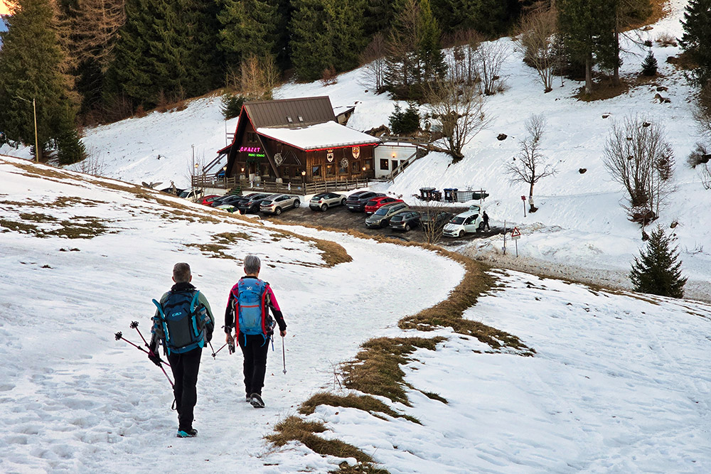
Sommo Pass, paid parking.
GPS coordinates: 45.918389, 11.203285
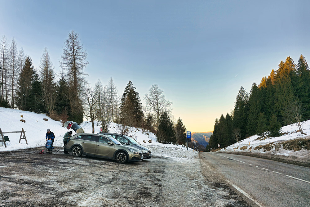
Parcheggio a Passo Sommo
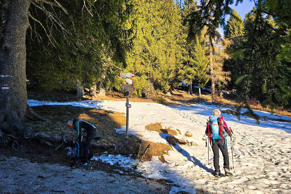
Prendiamo la via Vertical

Qui si sale
Il tratto prativo molto ripido
Si continua a salire
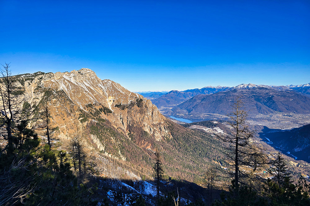
Vista verso la Valsugana
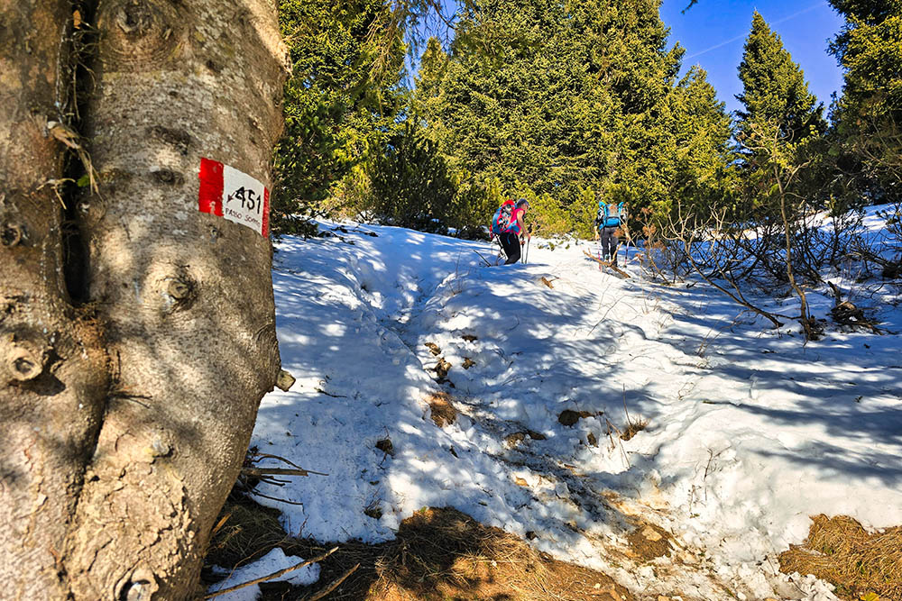
Prendiamo il sentiero 451
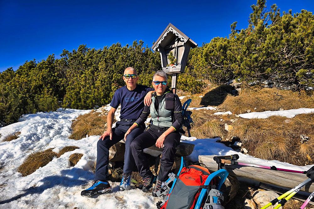
Arrivati all'Anticima
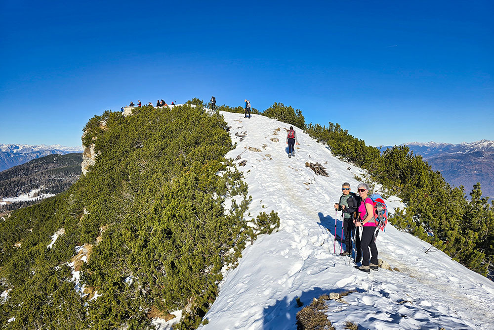
In cima a Monte Cornetto di Folgaria
Ci godiamo lo spettacolo

Il Becco di Filadonna alle nostre spalle
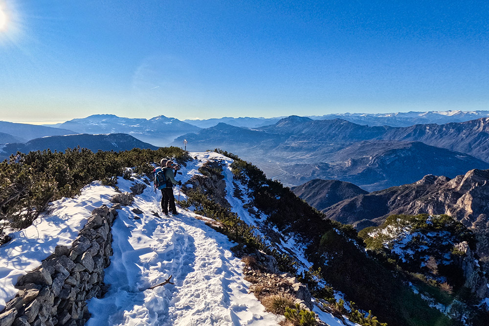
Si scende per il sentiero 425
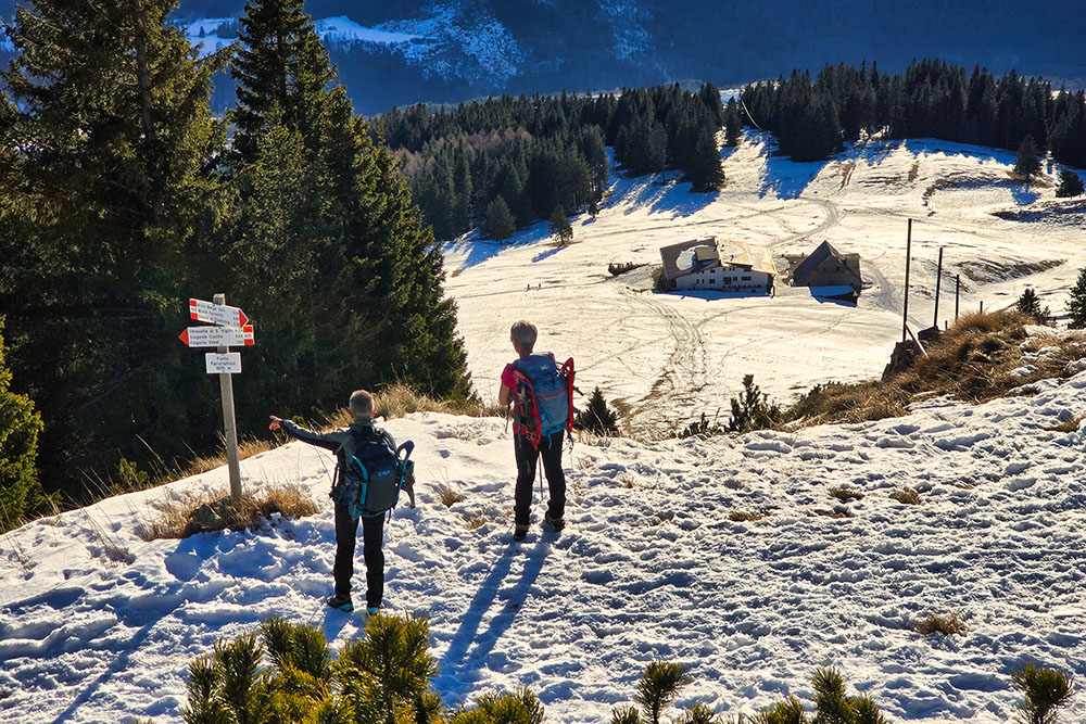
Punto panoramico sopra il Rifugio Paradiso
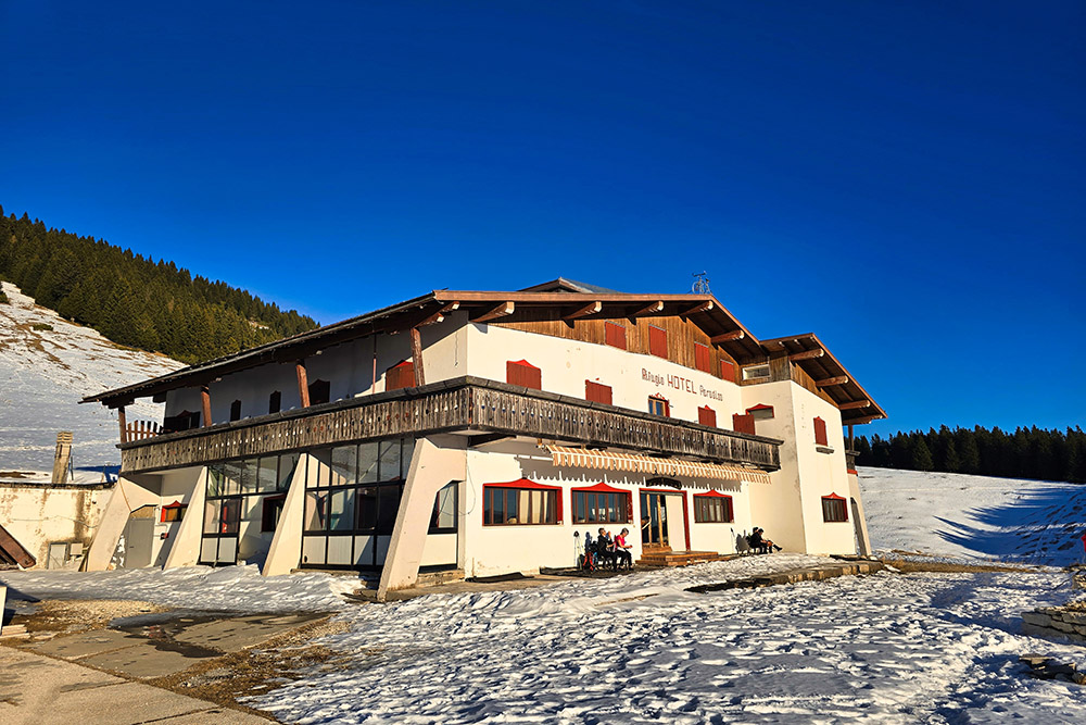
Il Rifugio Paradiso
Ritornati a Passo Sommo


