


![]()


Durata
 4:00 h
Distanza
 10,8 km
 Ascesa
 441 m
441 mDiscesa
 441 m
441 mH Max
 1730 m
H Min
 1326 m
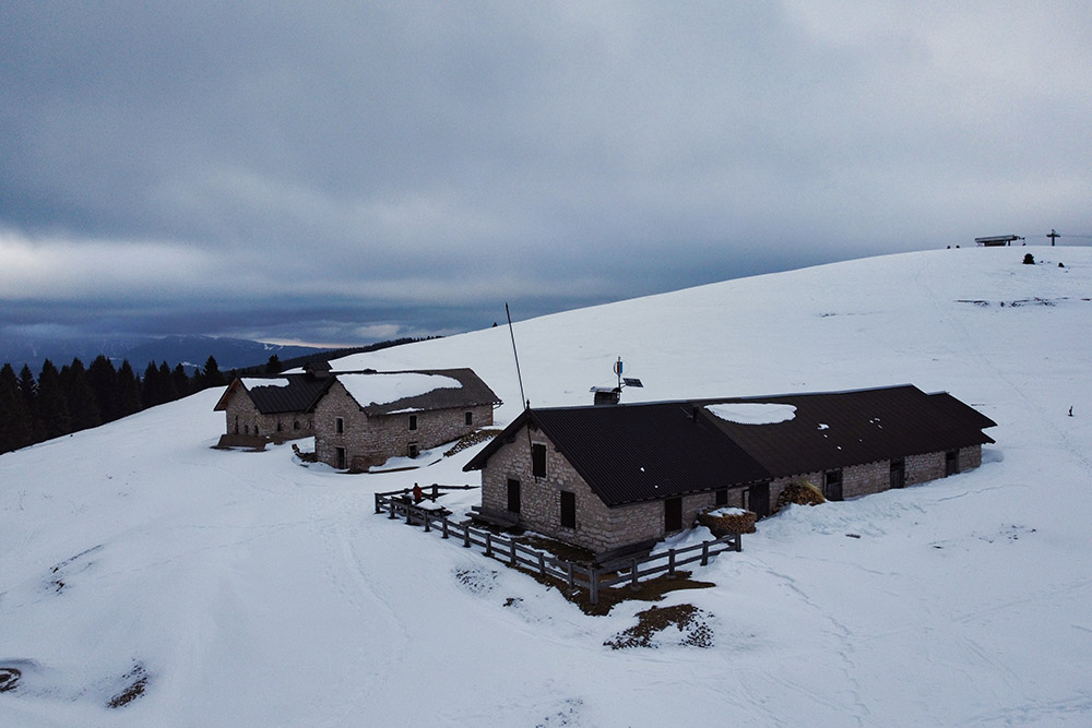
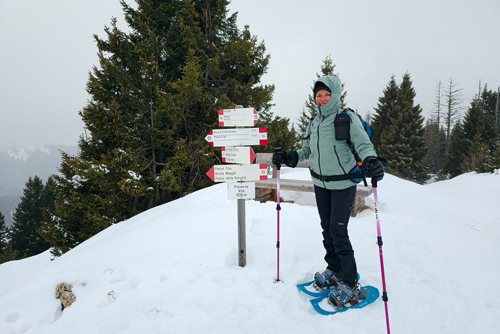
Malga Pioverna Alta from Ortesino
DESCRIPTION
Malga Pioverna Alta with snowshoes: a journey through forests and traces of the Great War.
Geographical location
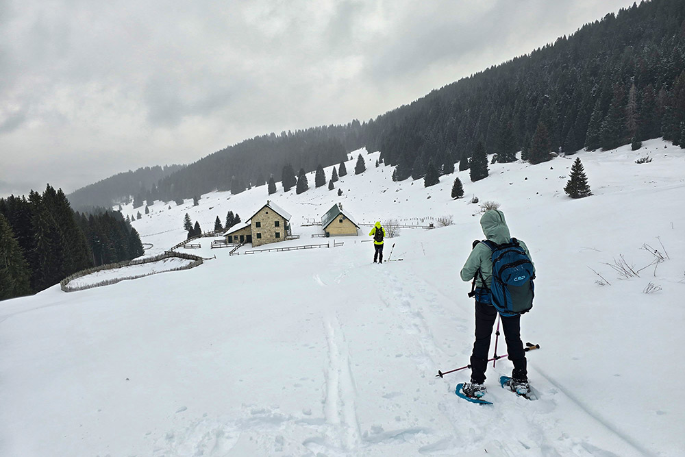
Monte Pioverna is a broad grassy hill located at an altitude of 1778 m, above the Passo Coe pass in the heart of the Alpe Cimbra. Malga Pioverna Alta, slightly lower to the northwest, is a historic malga usually active from June to September. This area offers a 360° panorama of the most fascinating peaks of southern Trentino, making it one of the most picturesque spots in the Alpe Cimbra.
The hike
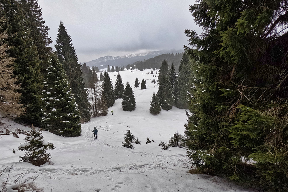
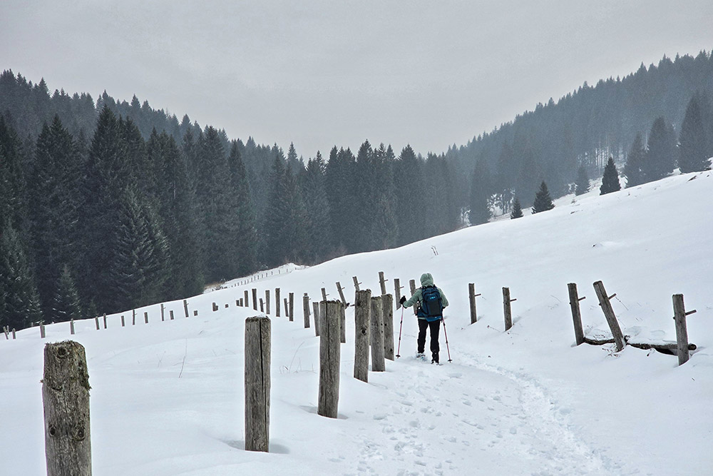
The medium-difficulty itinerary mostly winds through forest areas, with more than half of the path on dirt roads. The most challenging section is the descent from the Pioverna plateau to Bocca di Val Orsara. Crossing the pasture of Malga Pioverna Alta, craters left by bombardments during the Great War are still visible, historical evidence that makes the malga an ideal place for a break, both to rest and to admire the view. In winter, the malga is closed. From the Pioverna pasture plateau, the view stretches from Vigolana to Monte Maggio, up to the peaks of Pasubio. The descent passes through Val Orsara, named for the historical presence of bears. Although these animals have not inhabited the valley for over a century, the area has retained its beauty, characterized by vast panoramas and spruce forests.
History
During World War I, this area was the scene of intense fighting. Monte Pioverna was part of the Austrian front line, located a short distance from the Italian front line. More than a century later, the pastures still bear the marks of the violent bombardments of May 1915, when the entire area was the stage for the initial phases of the Spring Offensive. Hundreds of men lost their lives on this land, making it an important historical testimony.
ITINERARY
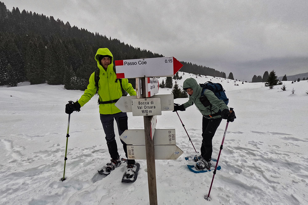
From the parking area (1326 m), walk about a hundred meters along SP142 to reach the starting point of the hike. Here, follow the sign for Malga Pioverna Alta and ascend on a dirt road. Once at Malga Pioverna Alta (1730 m), retrace your steps to the junction, then take trail 124 to the left, leading to Bocca di Val Orsara (1610 m). Turn right here and descend to Malga Val Orsara (1520 m). Finally, return to the starting point following the sign for Ortesino.
EXCURSION DATE
December 22, 2024
STARTING POINT
Parking area near the Ortesino ski lifts
REFRESHMENT POINT
None
AUTHOR’S SUGGESTIONS
Always check the avalanche bulletin before starting.
SAFETY TIPS
The stability of the snowpack is subject to rapid and unpredictable changes. For your safety, always consult the avalanche bulletin, as the snowpack can change quickly. Seek information from local authorities. Our GPX tracks are only indicative; the hike was carried out under the snow and weather conditions of the day. Always evaluate the situation on site.
Additionally, consider your physical abilities, fitness level, and equipment before setting out. Inform someone about the itinerary you plan to follow. Remember that the emergency number is 112.
EQUIPMENT
It is recommended to have suitable equipment: avalanche safety kit (consisting of ARTVA, shovel, and probe), snowshoes, trekking poles, crampons, sunglasses, sunscreen, trekking boots, winter clothing, gloves, hat, and a backpack with hot drinks.
RECOMMENDED MAPS
Tabacco 057 Levico - Altopiani di Folgaria Lavarone e Luserna
INTERESTING LINKS
https://www.alpecimbra.it/
HOW TO ARRIVE
From Folgaria, follow SS350 to Passo Sommo. Here, turn right onto SP142 and continue to the parking area near the Ortesino ski lifts.
PARKING AREA
Near the Ortesino ski lifts
GPS Coordinates: 45.900482, 11.208856
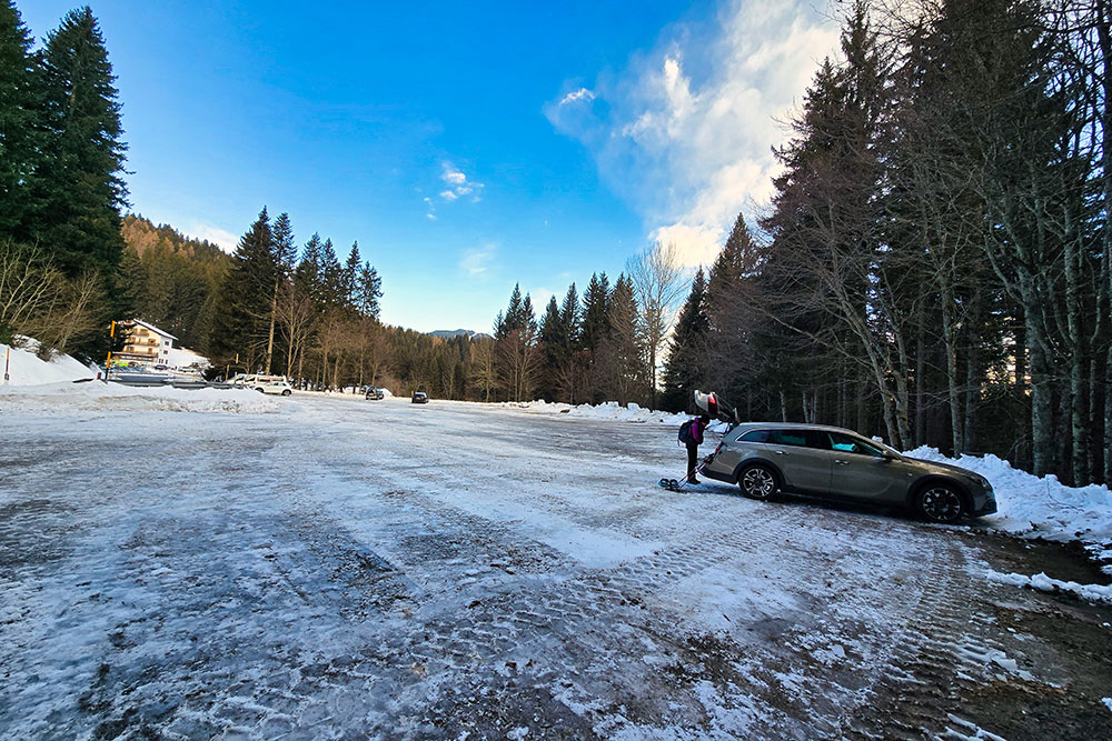
Parcheggio località Ortesino
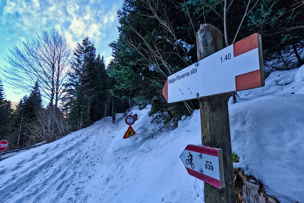
Si sale su mulattiera
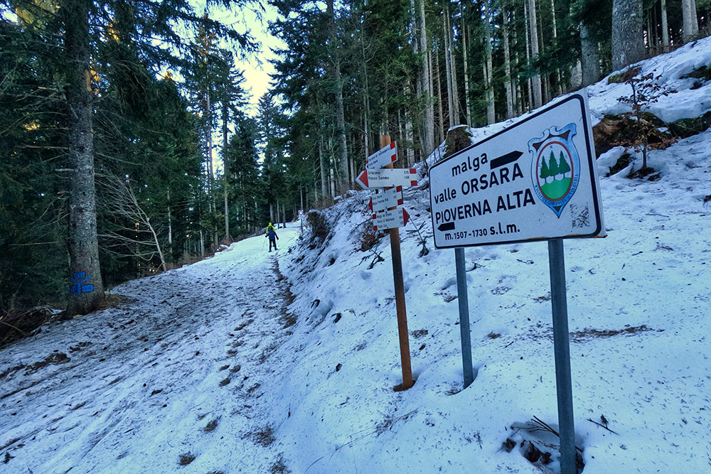
Primo bivio
Altro bivio
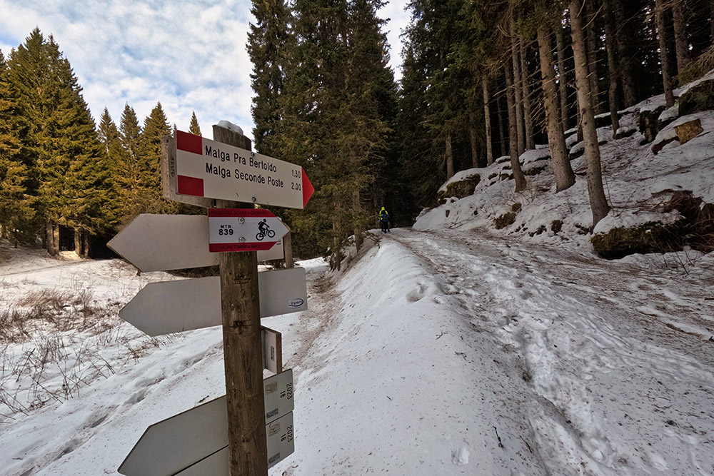
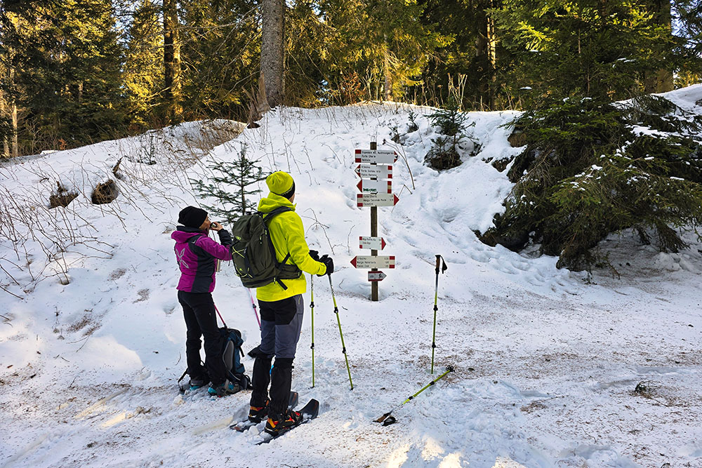
Ora si segue la direzione Pra Bertoldo
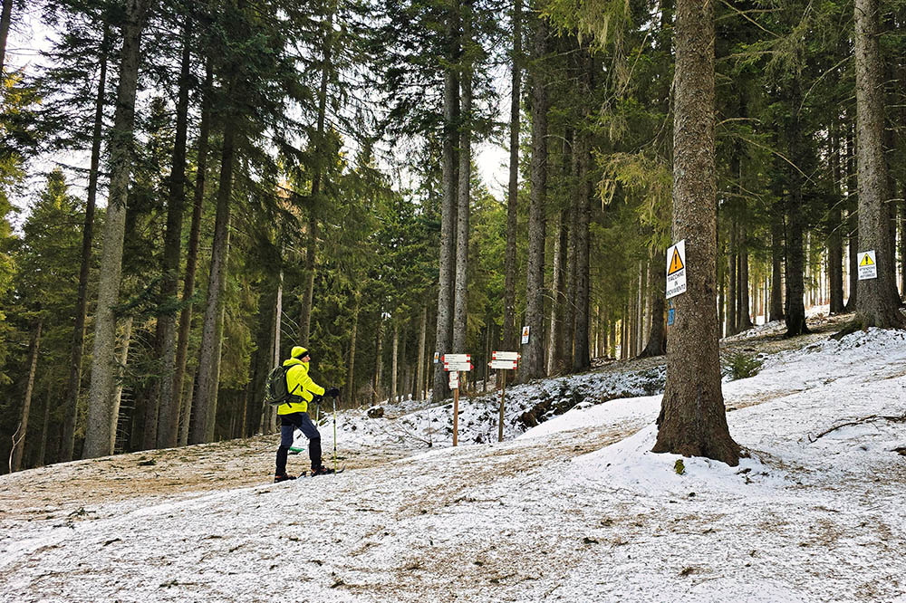
Ultimo tratto nel bosco
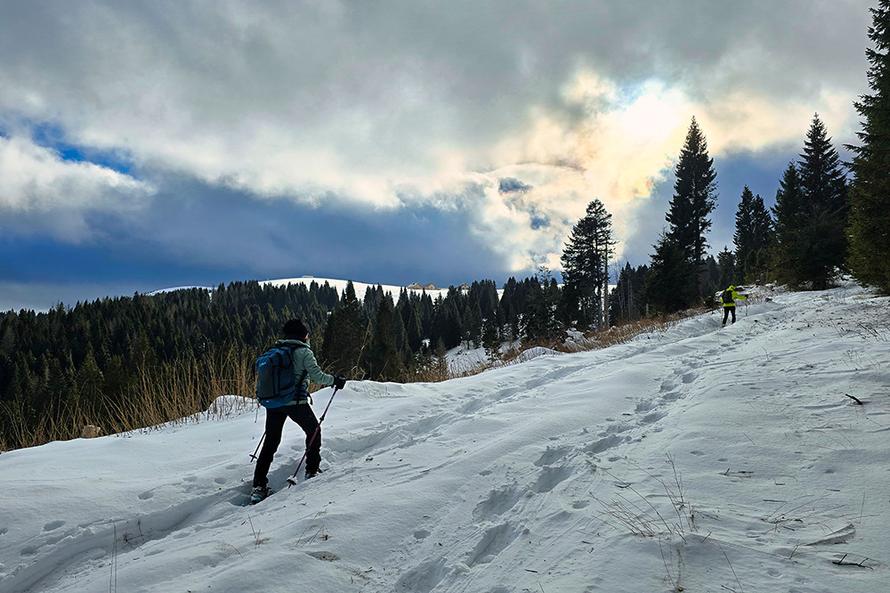
Si inizia a vedere la malga in lontananza
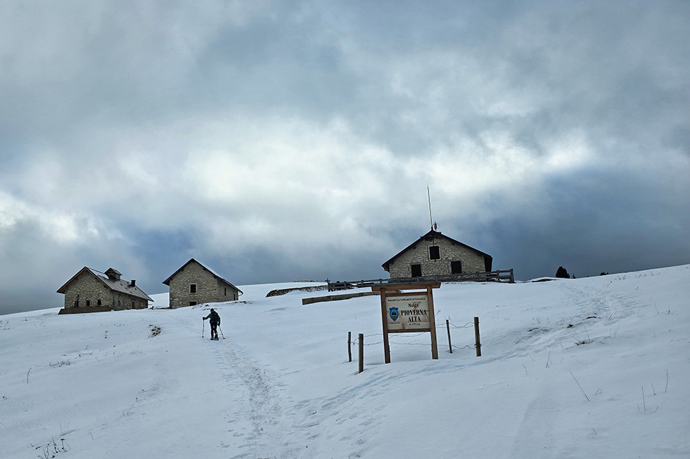
Arrivati a Malga Pioverna Alta
La Malga Pioverna Alta

Si continua l'anello
Ora si inizia a scendere
Cade una leggera neve ghiacciata
Arrivati a Bocca di Val Orsara
Malga Val Orsara
Si ritorna al punto di partenza


