


![]()


Durata
 3:17 h
Distanza
 6,7 km
 Ascesa
 333 m
333 mDiscesa
 333 m
333 mH Max
 1853 m
H Min
 1539 m
Monte Maggio from Malga Zonta
DESCRIPTION
A snowshoe hike through nature and historical memory.
Geographical Location
Monte Maggio is located on the Folgaria Plateau, on the border between the provinces of Vicenza and Trento, within the municipalities of Folgaria, Terragnolo, and Laghi. Part of the Venetian Prealps, it is an ideal destination for both summer and winter hikes, offering stunning landscapes and significant historical relevance.
The Hike
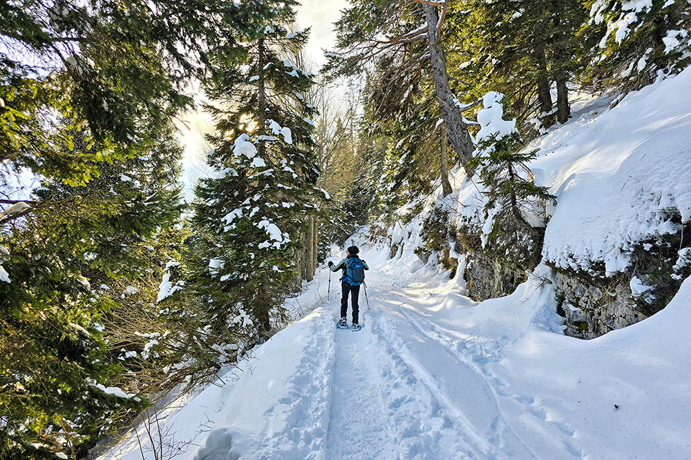
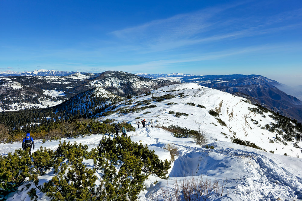
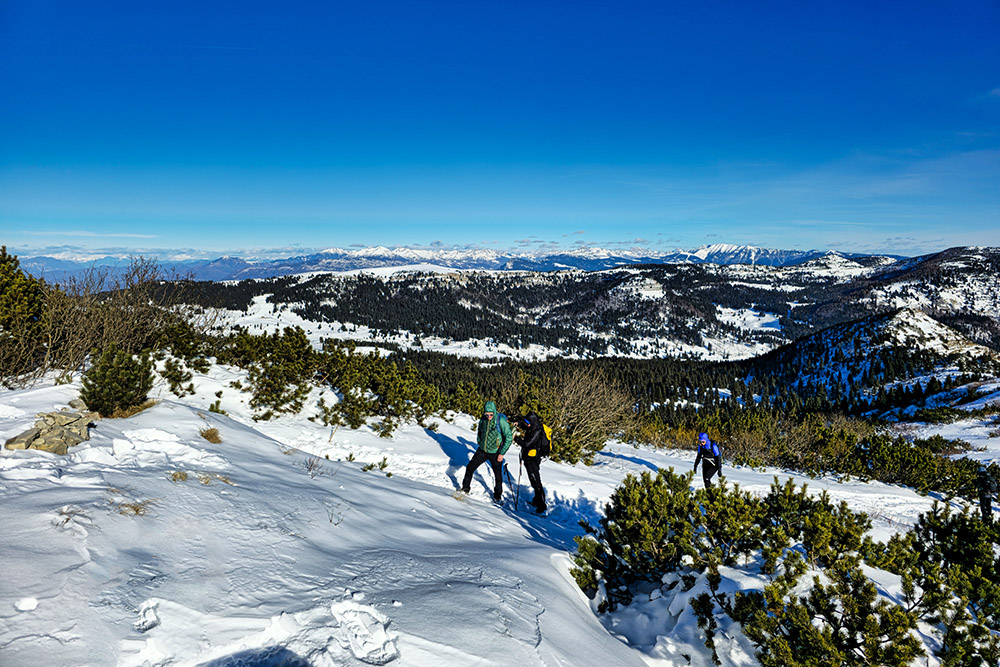
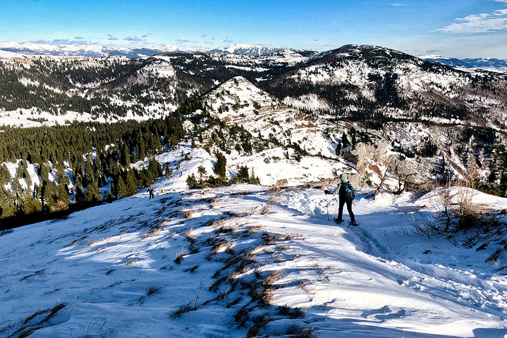
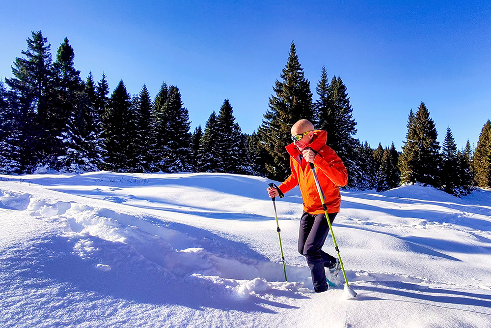
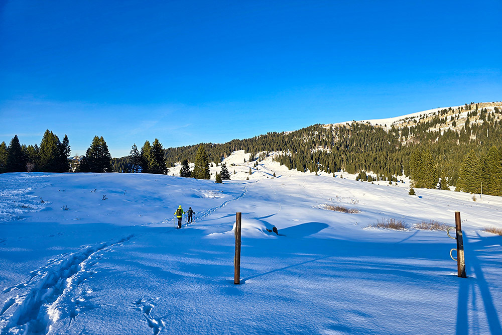
The route, a medium-difficulty loop, winds through conifer forests and wide meadows, offering picturesque views of the plateau. The summit, marked by a large cross, provides an extraordinary panorama of the Brenta Dolomites, the Lagorai Range, Pasubio, and the Astico Valley.
The path does not feature specific directional signage, but the summit cross serves as an important reference point. Extra caution is needed near the ski slopes of Passo Coe and the Nordic Ski Center, where it is advisable to walk along the edges to avoid disturbing skiers.
During the return, be mindful of the slopes below the saddle, which may pose an avalanche risk after heavy snowfall.
History
Monte Maggio was the site of intense fighting during World War I, as it lay on the border between the Kingdom of Italy and the Austro-Hungarian Empire. Its strategic position made it a fortified point for the Austro-Hungarians.
A particularly tragic episode occurred at Malga Zonta on August 12, 1944, when Nazi troops, following a clash with partisans, carried out a massacre, executing 18 people, including 15 partisans and 3 malga workers. This site is now a symbol of historical memory and resistance.
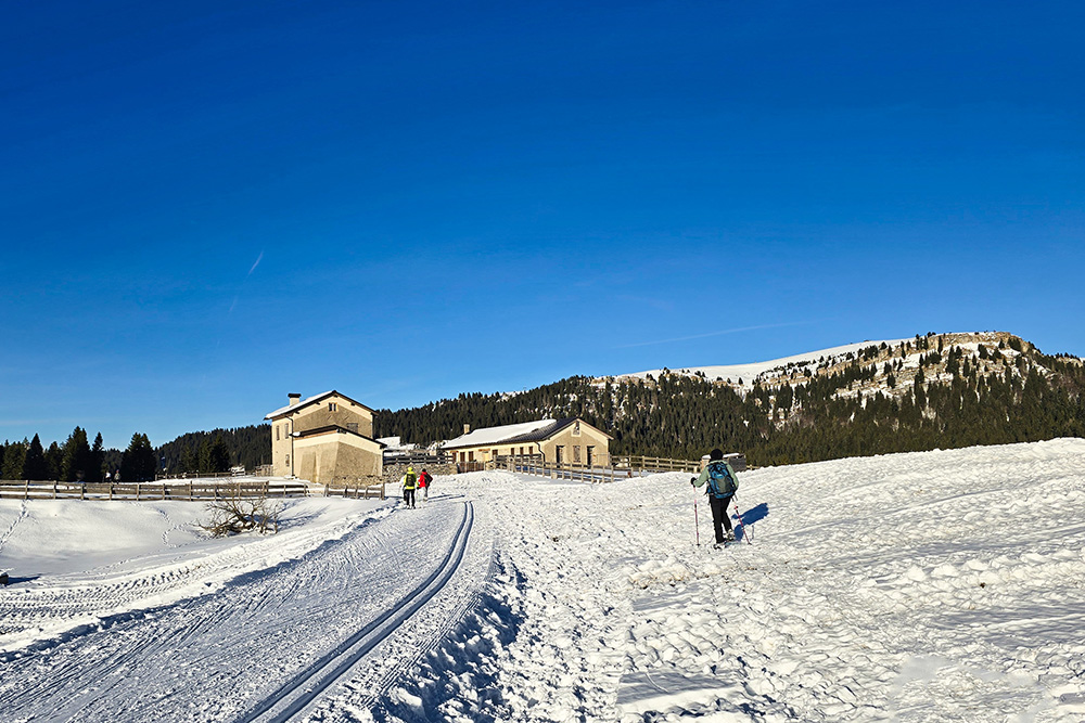
Base Tuono was a missile base operated by the Italian Air Force and NATO from 1966 to 1977. It was part of NATO’s command and control system, along with 12 other bases located in northeastern Italy, and belonged to the operational area of the 66th Guided Interceptor Group (I.T.) Monte Toraro.
ITINERARY
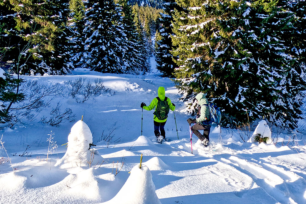
From the parking area (1539 m), proceed towards Base Tuono (1550 m). From there, continue westward, initially following a cross-country skiing track, then through a less defined forested area, until reaching the Peace Trail 124-E5, which leads to the summit of Monte Maggio (1853 m).
From the summit, head east and begin the descent through the woods towards Malga Melegna (1589 m). The route concludes with the return to the starting point.
EXCURSION DATE
December 15, 2024
STARTING POINT
Parking area near Malga Zonta
REFRESHMENT POINT
None
AUTHOR’S SUGGESTIONS
Check the avalanche bulletin before starting the hike.
SAFETY TIPS
The stability of the snowpack can change rapidly and unpredictably. Always check the avalanche bulletin before your hike and gather information from local authorities. Our GPX tracks are for guidance only, as the route was followed under specific snow and weather conditions on that day. Assess the situation on-site before proceeding.
Additionally, evaluate the route based on your physical capabilities, fitness level, and available equipment. Inform someone about your planned itinerary. Remember that the emergency number is 112.
EQUIPMENT
It is recommended to have appropriate equipment: avalanche rescue kit (beacon, shovel, and probe), snowshoes, poles, crampons, sunglasses, sunscreen, hiking boots, winter clothing, gloves, hat, and a backpack with warm drinks.
RECOMMENDED MAPS
Tabacco 057 Levico - Altopiani di Folgaria Lavarone e Luserna
INTERESTING LINKS
https://www.trentinograndeguerra.it/context.jsp?area=101&ID_LINK=250&id_context=550
HOW TO ARRIVE
From Folgaria, follow SP143 towards Passo Coe. After the pass, descend slightly; the parking area near Malga Zonta is on the right.
PARKING AREA
Near the Parco Memoria Malga Zonta.
GPS Coordinates: 45.870749, 11.231197
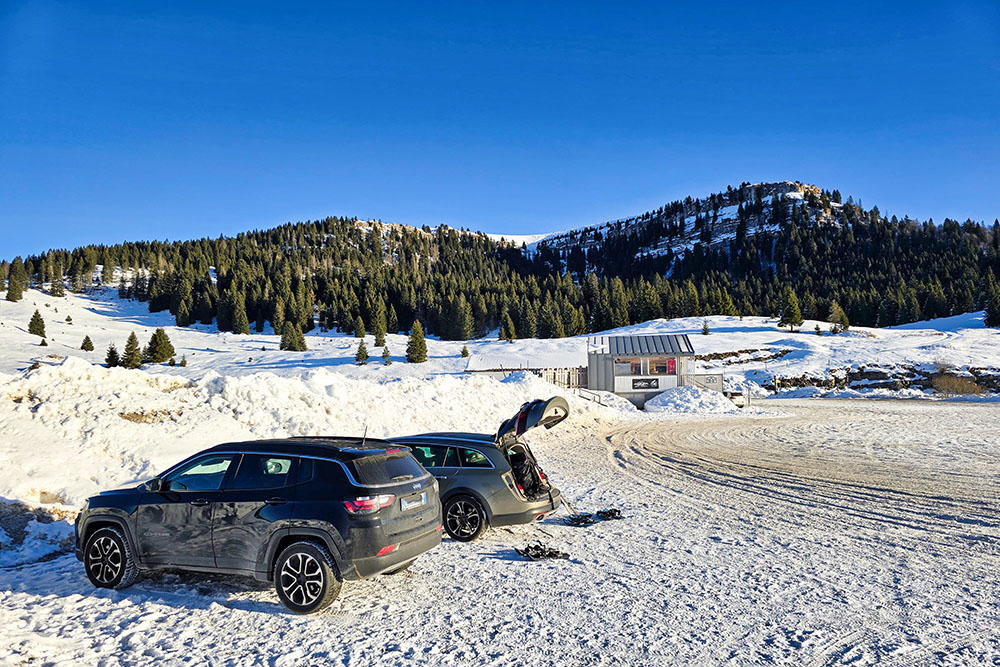
Parcheggio
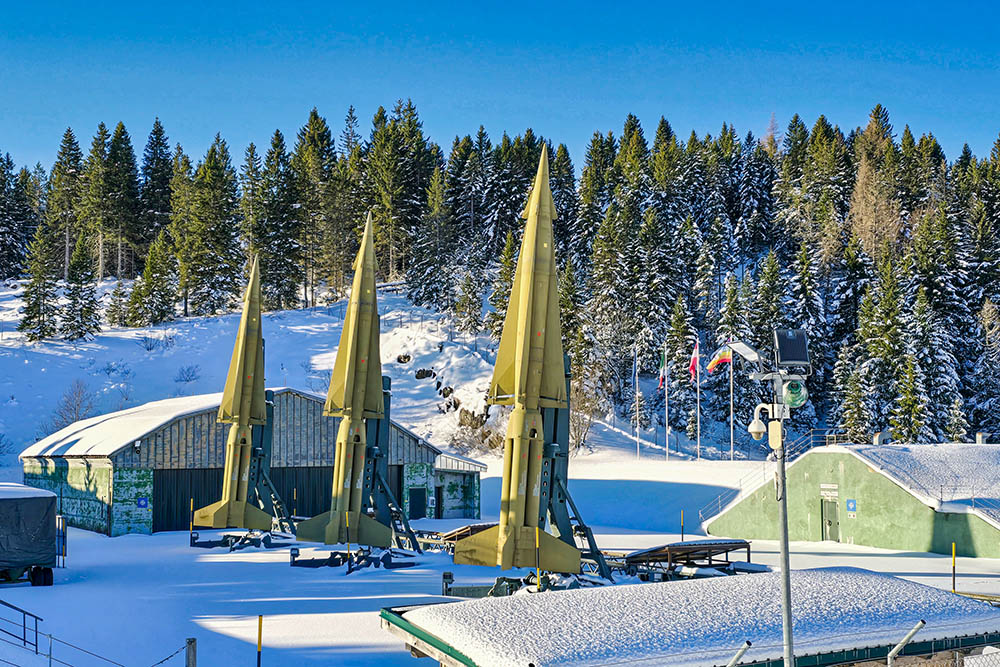
La Base Tuono
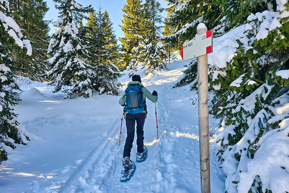
Si sale nel bosco
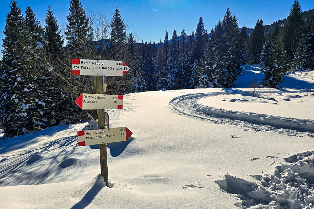
Arrivati al bivio si prende il 124
Si percorre la vecchia strada militare
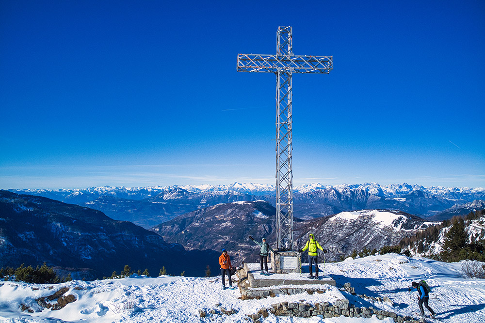
In vetta al Monte Maggio
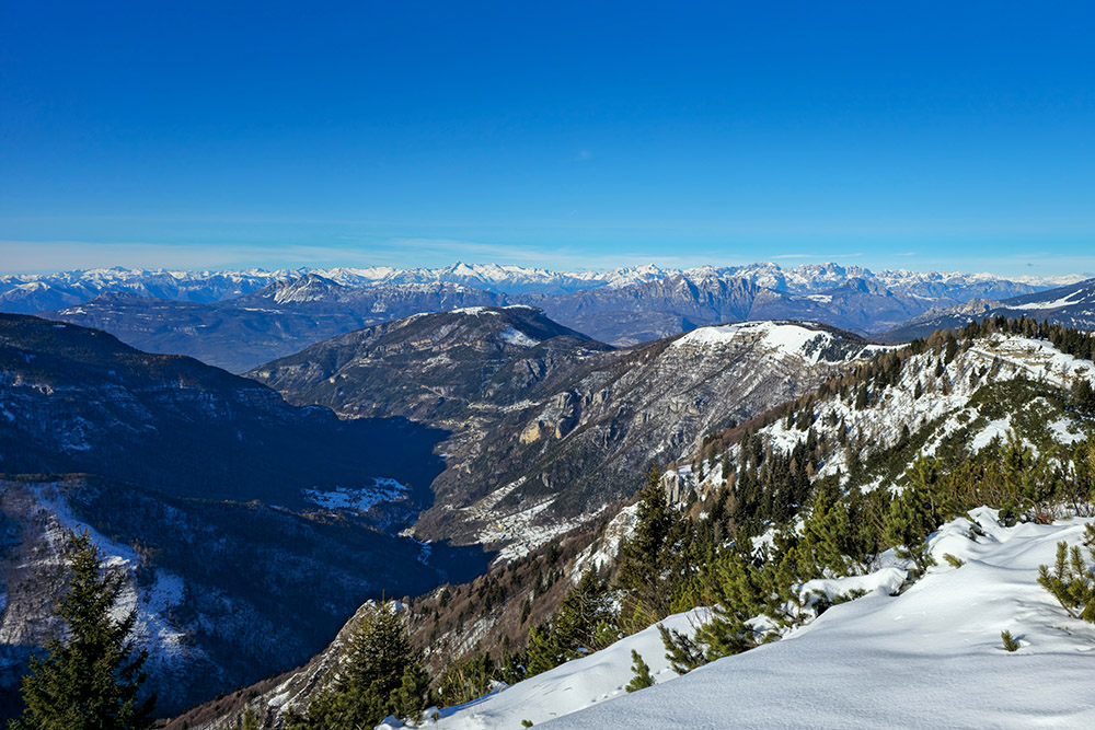
Panorama verso l'Adamello e il Brenta
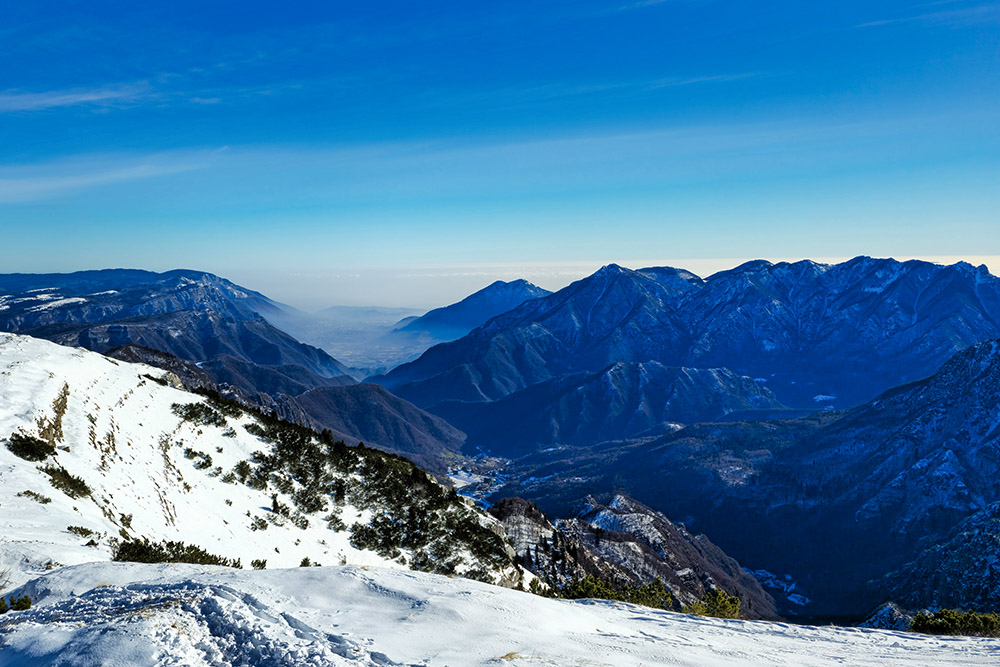
Panorama verso la Pianura padana
Panorama verso il Monte Grappa
Panorama verso le cime della Val di Fiemme e Fassa
Si continua l'anello
Si scende sulla neve fresca
Siamo arrivati in prossimità delle malghe
Malga Melegna Zonta
Ultimo tratto


