


![]()


Durata
 6:35 h
Distanza
 13,3 km
 Ascesa
 1320 m
Discesa
 1320 m
H Max
 2491 m
H Min
 1226 m
Cima Viezzena from Zaluna
DESCRIPTION
Cima Viezzena: a challenging hike for experts, offering enchanting Dolomite landscapes.
GEOGRAPHICAL LOCATION
The Cima Viezzena (Viésena in Predazzano and Ladin) rises to 2,491 meters in the Dolomites of Fiemme, within the Cima Bocche group. This peak, the highest in the Viezzena Massif, marks the boundary between the municipalities of Moena and Predazzo.
The massif is bounded by prominent natural landmarks: the Rio San Pellegrino to the north, the Avisio stream to the west, the Travignolo river to the south, and the Passo Lusia to the east.
Mainly composed of dolomite rock, Cima Viezzena is geologically distinct from the rest of the group, which is largely formed by porphyry and sandstone. Other peaks in the subgroup include the Sas da Mezdì (to the north) and Monte Mulàt (to the southwest).
DETAILED DESCRIPTION
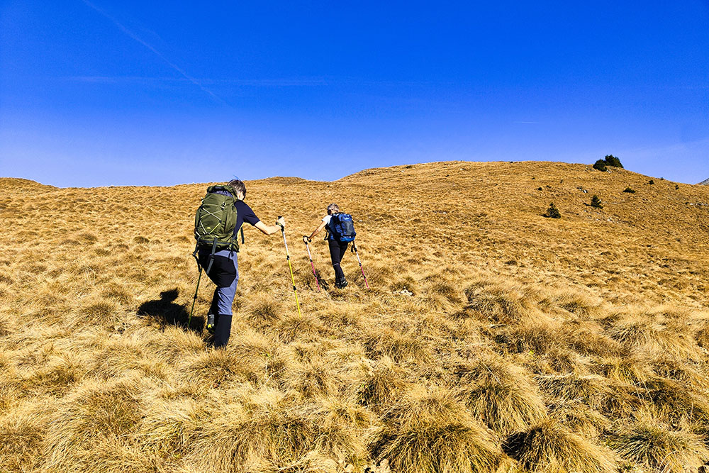
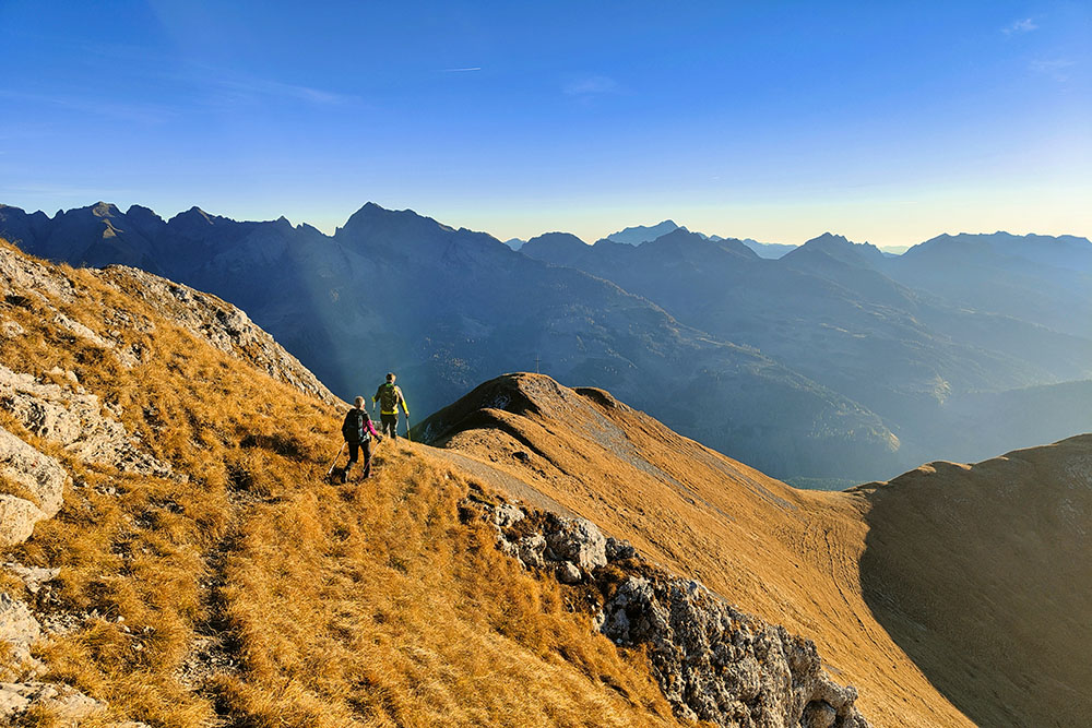
The trail leading to the summit is demanding and suitable only for experienced hikers. The 1300-meter elevation gain, combined with exposed sections and the difficulty of navigation in some areas, makes this hike a real challenge. The trail often intertwines with paths left by grazing animals, requiring extra attention.
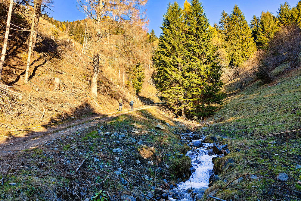
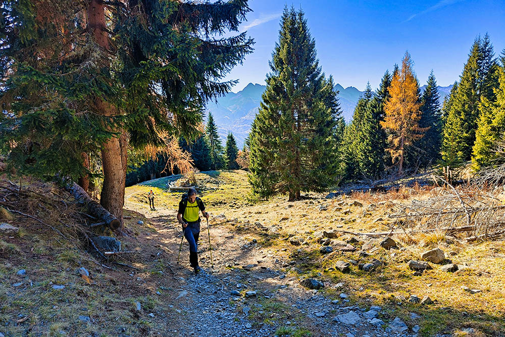
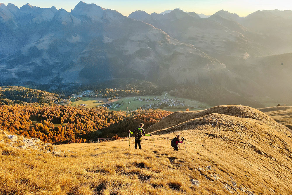
The hike begins with an uphill section through the forest, where the shade of the trees accompanies the initial steps. After leaving the forest, the landscape opens up, revealing extraordinary views of the Dolomite peaks: Latemar, Catinaccio, Marmolada, Sassolungo, Pale di San Martino, and the Lagorai chain.
The route mainly develops on sun-exposed slopes, but the initial section in Val Viezzena offers some moments of cool shade. The effort required is significant, but the beauty of the landscape and the satisfaction of reaching the summit make it worthwhile.
ITINERARY
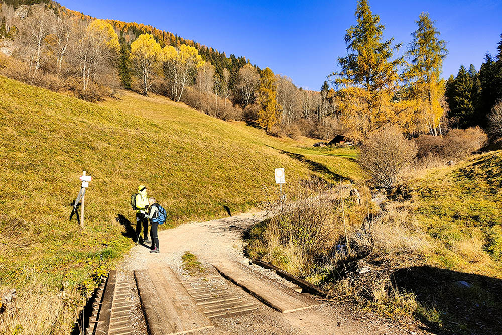
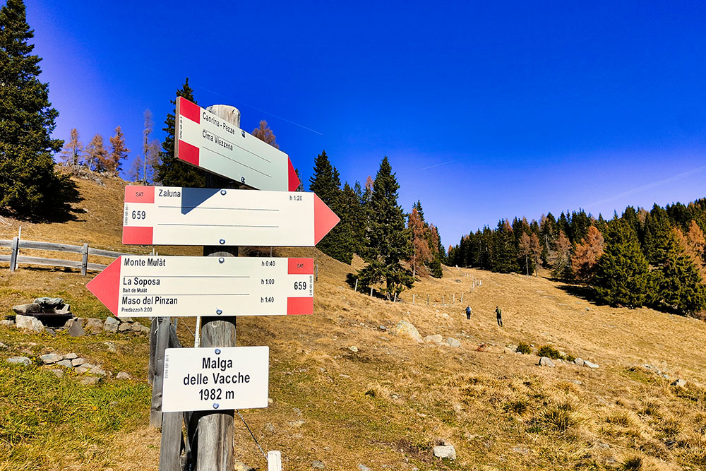
From the small parking area in Zaluna (1237 m), follow trail marker 659 up Val Viezzena. This is a steep dirt road running alongside the Rio Viezzena. At an altitude of 1740 m, you reach a junction where the loop begins. Turn left, following trail 659 toward Malga delle Vacche - Monte Mulat.
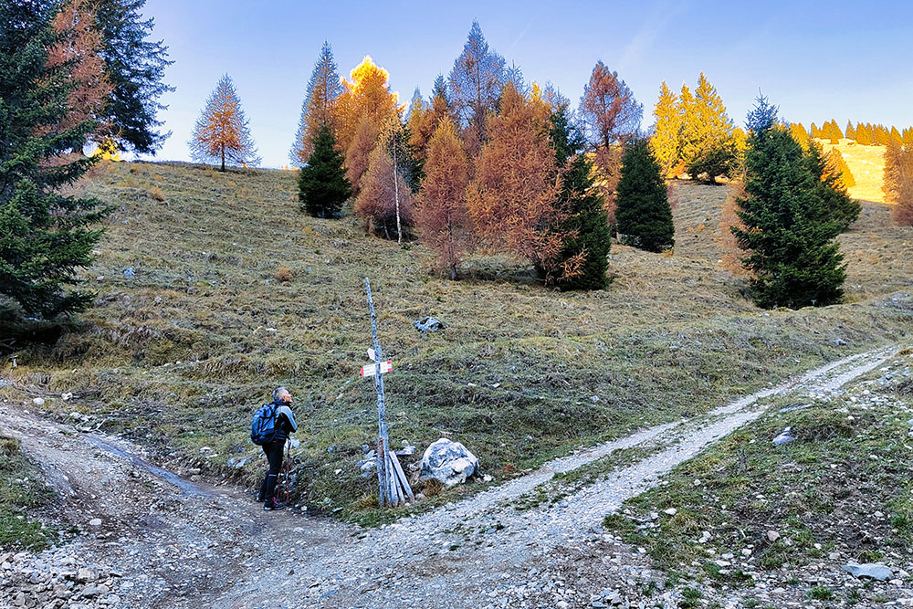
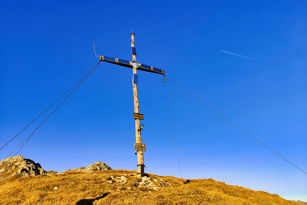
Once at Malga delle Vacche (1982 m), continue on an unmarked, poorly visible ridge trail leading to Le Pezze, where the Caorina Cross (2374 m) is located. From here, ascend to Cima Viezzena (2491 m) and then return to Le Pezze. Continue the loop by descending steep meadows toward Bellamonte, then turn right to return to the junction. From this point, descend to the starting point along the same path used earlier.
EXCURSION DATE
November 2, 2024
STARTING POINT
In Zaluna, entrance to Val di Viezzena
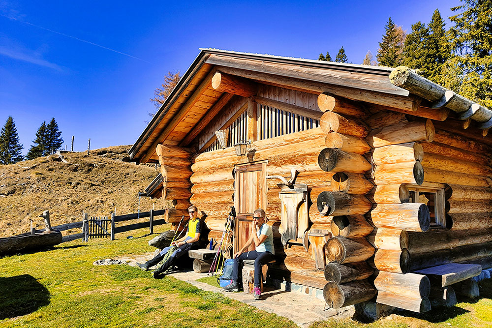
REFRESHMENT POINT
None
AUTHOR’S SUGGESTIONS
Download the GPX track, as the trail is not visible for long stretches.
SAFETY TIPS
The feasibility of the proposed itinerary, like all mountain terrain, is subject to environmental changes caused by natural events and weather conditions. Before setting out, consult the local tourist offices and/or nearby mountain huts.
Our GPX tracks are for guidance only; the route was completed under the best possible trail and weather conditions on the day. Always assess the situation locally.
Evaluate the route according to your physical capabilities, fitness level, and the equipment you have. Inform someone about your planned itinerary. Remember that the emergency number is 112.
EQUIPMENT
We recommend appropriate equipment for the hike, weather conditions, and the season: windproof and/or waterproof jacket, map and/or GPS device, sunglasses, sunscreen, hiking boots, first aid kit, specific clothing, gloves, backpack with food and drinks.
RECOMMENDED MAPS
Tabacco 014 Val di Fiemme - Lagorai - Latemar
INTERESTING LINKS
https://www.visitfiemme.it/
HOW TO ARRIVE
Take the SS48 to Predazzo, then the SS50 toward Passo Rolle - Passo Valles. After Hotel Zaluna, continue for 450 meters; on the curve, you’ll find a small parking area.
PARKING AREA
On the curve, 450 meters past Hotel Zaluna
GPS coordinates: 46.315250, 11.648694
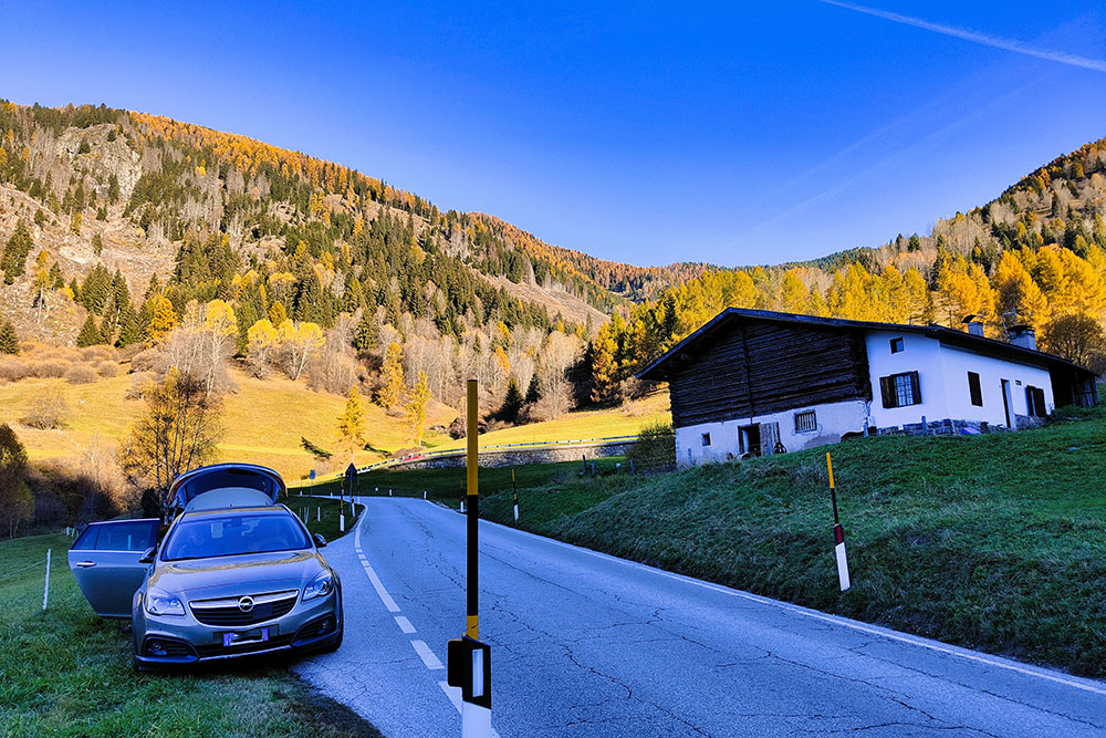
Piccolo parcheggio a bordo strada
Punto di partenza in località Zaluna
Si sale la ripida strada della Val Viezzena
Qui inizia il percorso ad anello
Il bosco si dirada
Arrivati a Malga delle Vacche
Si sale verso Cima Viezzena
Si procede senza vedere il sentiero
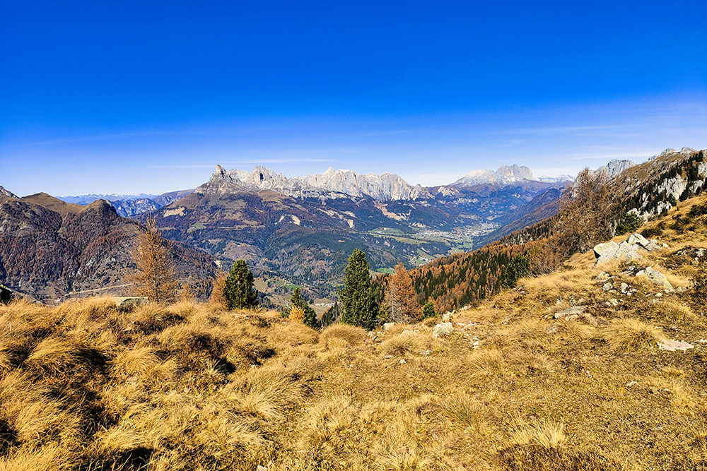
Panorama sul Latemar e Catinaccio
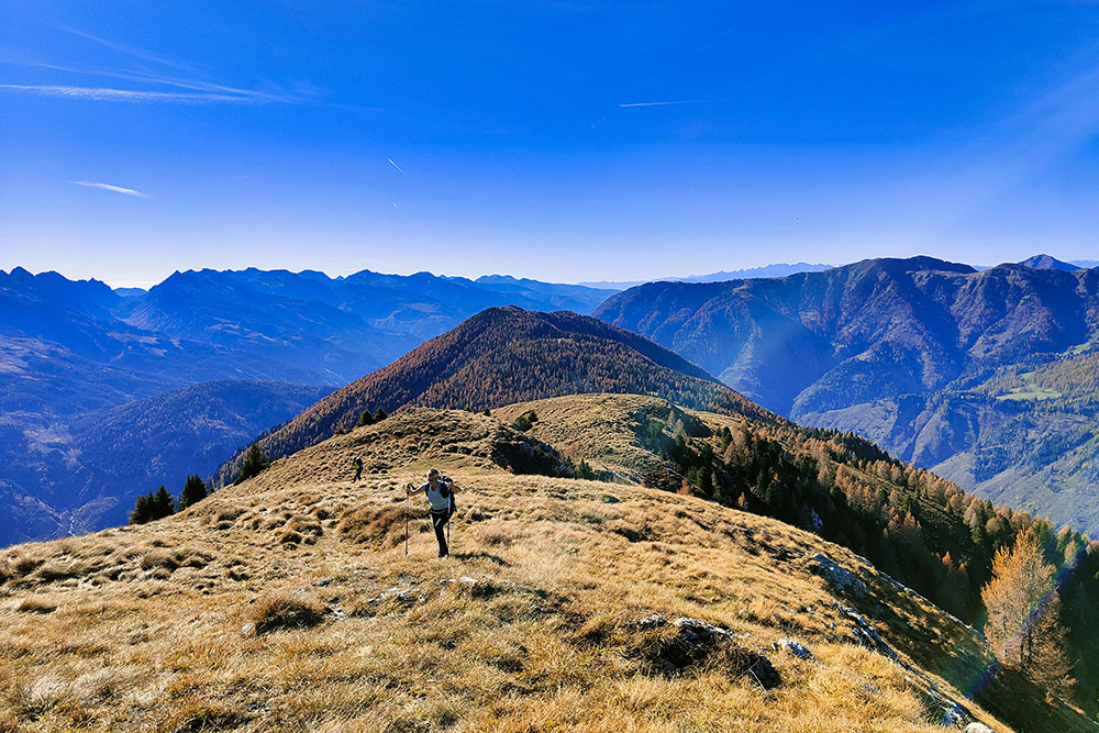
Siamo in cresta
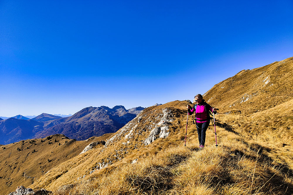
Siamo in cresta
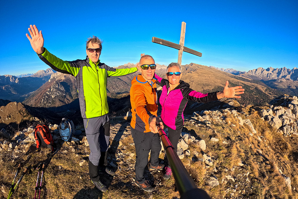
Cima Viezzena
Scendiamo dalla vetta
Località Le Pezze
Si scende per i prati


