


![]()


Durata
 8:00 h
Distanza
 62,5 km
 Ascesa
 4310 m
Discesa
 4310 m
H Max
 2478 m
H Min
 1412 m
Sellaronda MTB TOUR ORARIO - Second day
DESCRIPTION
Two unforgettable days on a mountain bike around the fantastic Sella Group.
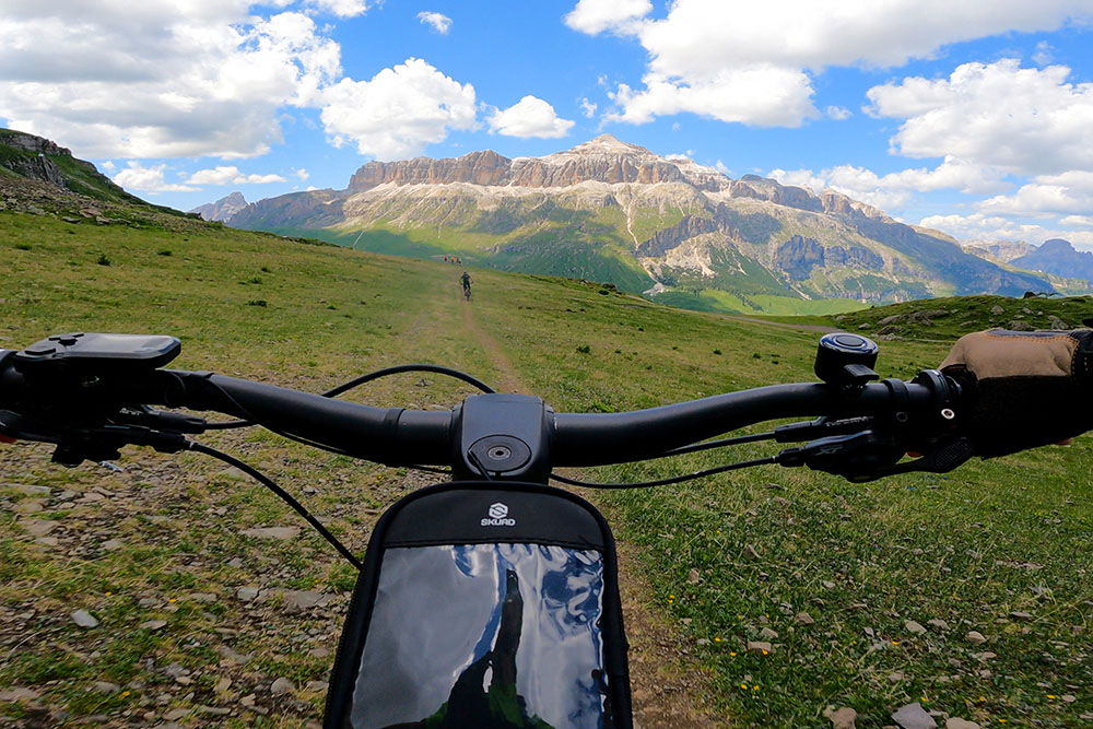
We propose the itinerary of the Sellaronda MTB Tour Hourly, marked by the orange colour. First of all, let's report some data: the total distance is 62.5 km, with a pedaled elevation gain of 370 m and a bicycle descent of 4310 m. The journey time varies from 5 to 8 hours (including lunch break).
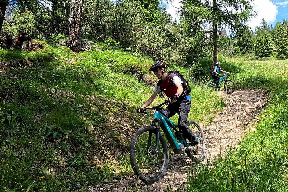
This tour is simply fantastic: you ride in the heart of the Dolomites, enjoying wonderful landscapes, crossing four valleys - Val di Fassa, Val Gardena, Alta Badia and Arabba - and three provinces - Trento, Bolzano and Belluno.
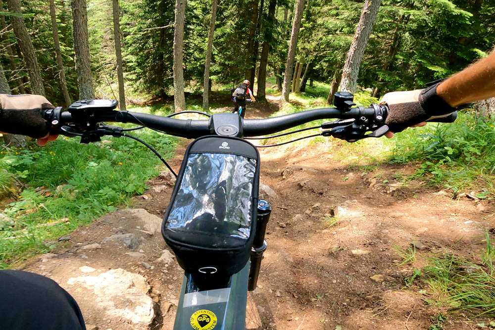
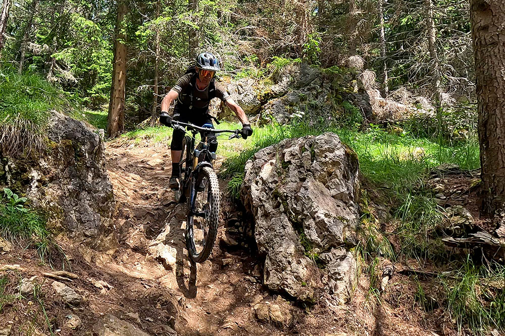
The MTB excursion presents some difficulties that we will analyze in detail. Firstly, the length: covering 62.5 km on a mountain bike in an alpine environment is not easy, different from covering the same distance on the road.
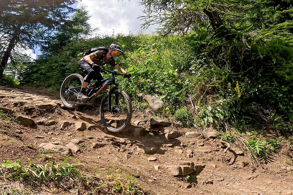
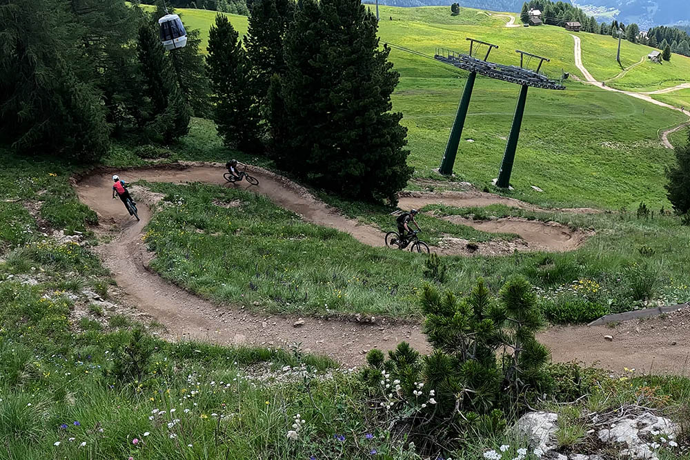
The descent, although it seems strange, requires a lot of physical effort, both for the legs and for the arms, above all considering the sections S1 and S2. Furthermore, you must pay close attention to falls, as in some stretches they can be fatal.
Finally, the technical traits: If you don't want to constantly push your bike on descents, you need to have a good command of mountain bike riding skills.
As you may have guessed, the Tour is of medium-difficult level and is aimed at cyclists with established riding skills. This type of person will have a great time while minimizing the risk of falls.
For this reason, we recommend dividing the Tour into two days and being accompanied by an expert guide of the four valleys, who will support you along the entire route by providing technical information, driving advice and suggesting the most suitable route for your cycling skills.
ITINERARY
Second day. From Corvara, the ski lift takes you to Col Alt (1980 m), pedal for a short distance and take another ski lift up to Braia Fraida (2023 m). Now you pedal uphill to Pralongià (2109 m). Descend to Passo Campolongo (1875 m). Here you take the chairlift and go up to Bec de Roces (2083 m), to then descend to Arabba (1602 m). Go up with the cable car to Porta Vescovo (2478 m), go down to Fodom (1857 m) and then go up again with the lift to Passo Pordoi (2239 m). Now there is nothing left but to go down the Infinity slope arriving in Canazei (1446 m) and via the cycle path to return to Campitello di Fassa.
EXCURSION DATE
July 2023
STARTING POINT
Corvara
REFRESHMENT POINT
There are many refreshment points along the itinerary.
AUTHOR’S SUGGESTIONS
We recommend dividing the itinerary into two days to be able to tackle it with the right amount of calm, so as to be able to better appreciate the views and the surrounding area, as well as distributing our physical energies in a more balanced way. Also consider being accompanied by a MTB guide from the area.
SAFETY TIPS
The viability of the proposed itinerary, like all mountain morphology, is subject to environmental changes due to natural events and weather conditions. Therefore, before leaving, consult the competent tourist offices and / or the refuges of reference.
Our GPX tracks are only indicative, that is, the route was carried out at best with the conditions of the trails and weather of that day. So always evaluate what to do on site.
Also remember to evaluate the route based on your physical abilities, the training and the equipment you have.
For e-bike owners: evaluate the kilometers and the altitude difference in relation to the battery power and the weight of the cyclist well.
You should leave someone the route you intend to do told.
Remember that the emergency number is 112.
EQUIPMENT
It is recommended to have the appropriate equipment for the route, weather conditions and season: helmet, windproof and / or rain jacket, map and / or GPS device, goggles, helmet and / or handlebar torch (an unexpected event may lengthen the travel times), sunscreen, MTB shoes, first aid kit, bike repair kit, specific clothing, whistle or signal bell, reflective bike wheels, gloves, backpack with food and drinks.
RECOMMENDED MAPS
Tabacco 06 Val di Fassa e Dolomiti Fassane
Tabacco 05 Val Gardena - Alpe di Siusi/Gröden - Seiseralm
Tabacco 07. Alta Badia - Arabba - Marmolada
INTERESTING LINKS
https://www.sellaronda-mtb.com/
HOW TO ARRIVE
A22 exit Egna-Ora and take the SS48 towards Cavalese. Before Cavalese take the SP232 and then, when you are in the valley, continue up to Campitello di Fassa.
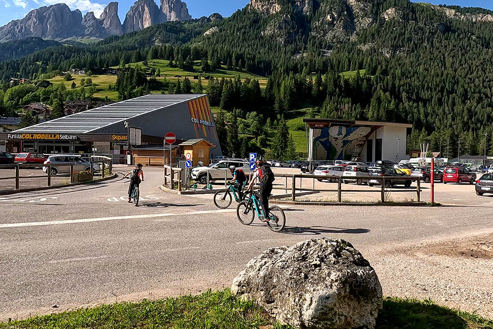
PARKING AREA
In front of the valley station of the Col Rodella - Campitello di Fassa cable car
GPS coordinates: 46.474701, 11.745445
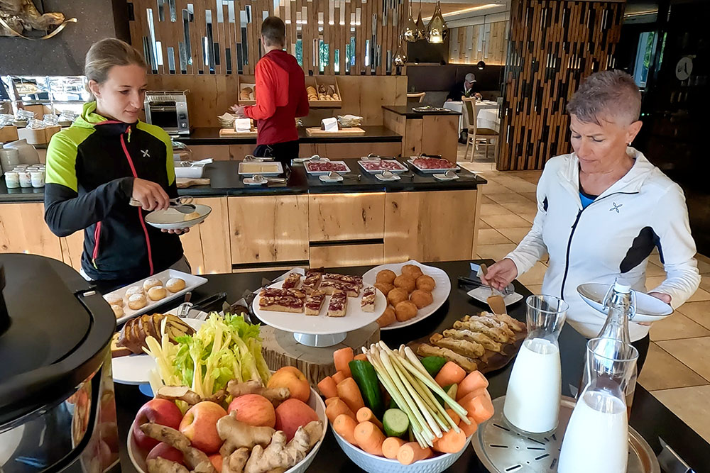
Colazione Hotel Arkadia
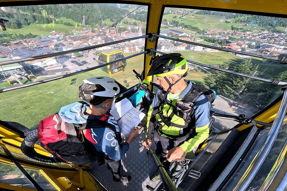
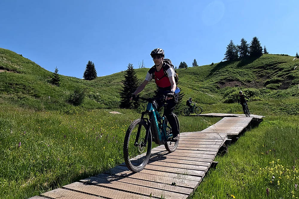
Si sale con la Cabinovia Col Alt
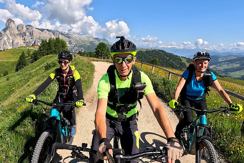
Pralongià
Pralongià
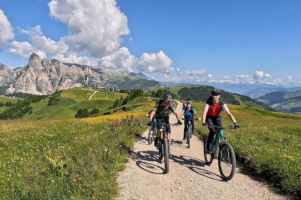
Si scende verso il Passo Campolongo
Si scende verso Passo Campolongo
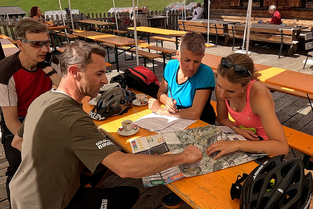
Ristoro al Rifugio La Marmotta
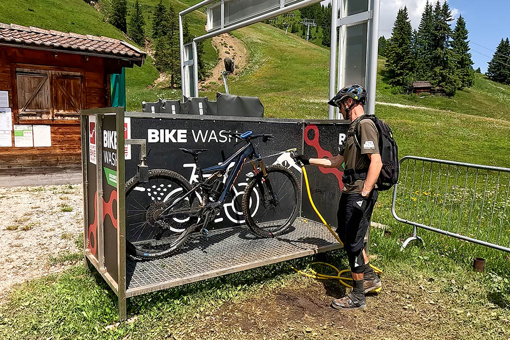
Punto lavaggio bici Seggiovia Bec de Roces
Discesca da Bec de Roces verso Arabba
Discesca da Bec de Roces verso Arabba
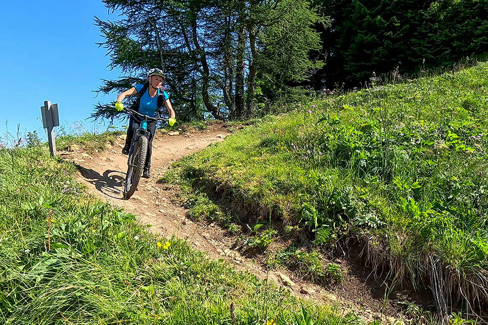
Passaggio tecnico S2
Altro passaggio tecnico S2
Si scende da Porta Vescovo
Pista Infinity che porta a Canazei
Ritorno a Campitello di Fassa


