
Rifugio Passo le Selle
DESCRIPTION
Magnificent excursion in the Marmolada Group above the San Pellegrino Pass.
The itinerary does not present particular difficulties, but if you travel in winter with snow, you must pay close attention to the conditions of the snowpack. From the refuge you have a splendid view. To the West: Catinaccio Group, Monzoni Group and in the distance Vioz and Ortles. To the East: Cima Bocche, Cima Juribrutto, the Pale di San Martino, the Cresta di Costabella, the Civetta and the Pelmo.
The Rifugio Passo le Selle / Bergvagabunden Hütte is located at the Passo delle Selle, an alpine pass in the Marmolada group, which connects the Val San Nicolò to the San Pellegrino valley. Here, during the First World War, the first Austro-Hungarian front line was located.
ITINERARY
From the San Pellegrino Pass (1900 m), at the start of the Costabella chairlift, go up the path n. 604. You arrive at the Baita Paradiso (2170 m) and then continue to the Rifugio Passo le Selle (2529 m). Upon returning, take the uphill path for a very short stretch and then turn right onto an unmarked path and head towards a small lake, the Lech de la Campagnola. Before arriving at the lake you will find a crossroads with the indication Via Ripida - go right - or Via Normale - go straight. Continue straight and arrive at the San Pellegrino Pass.
EXCURSION DATE
November 20, 2021
STARTING POINT
San Pellegrino Pass
REFRESHMENT POINT
Rifugio Passo le Selle (2529 m) and Baita Paradiso (2170 m)
AUTHOR’S SUGGESTIONS
In late autumn and winter we recommend taking the excursion when the ski resorts are closed. So you don't have to change paths because of the skiers. We also suggest on returning not to take the Via Ripida, because some sections are exposed, and to follow our GPS track.
SAFETY TIPS
The viability of the proposed itinerary, like all mountain morphology, is subject to environmental changes due to natural events and weather conditions. Therefore, before leaving, consult the competent tourist offices and / or the refuges of reference.
Our GPX tracks are only indicative, that is, the route was carried out at best with the conditions of the trails and weather of that day. So always consider what to do on site.
Also remember to evaluate the route based on your physical abilities, training and the equipment you have.
You should leave someone the route you intend to do told.
Remember that the emergency number is 112.
EQUIPMENT
It is recommended to have the appropriate equipment for the route, weather conditions and season: windproof and / or rain jacket, map and / or GPS device, goggles, sunscreen, boots, first aid kit, specific clothing, gloves, backpack with food and drink.
RECOMMENDED MAPS
Tabacco 06 Val di Fassa e Dolomiti fassane
INTERESTING LINKS
https://www.passosanpellegrino.it/
HOW TO ARRIVE
A22 Egna-Ora exit. Take the SS48, then the SP232 to Predazzo. Return to the SS48 up to Moena. Here you take the SS346 which leads to the San Pellegrino Pass.
PARKING AREA
At Passo San Pellegrino, free.
GPS coordinates: 46.378747, 11.785019
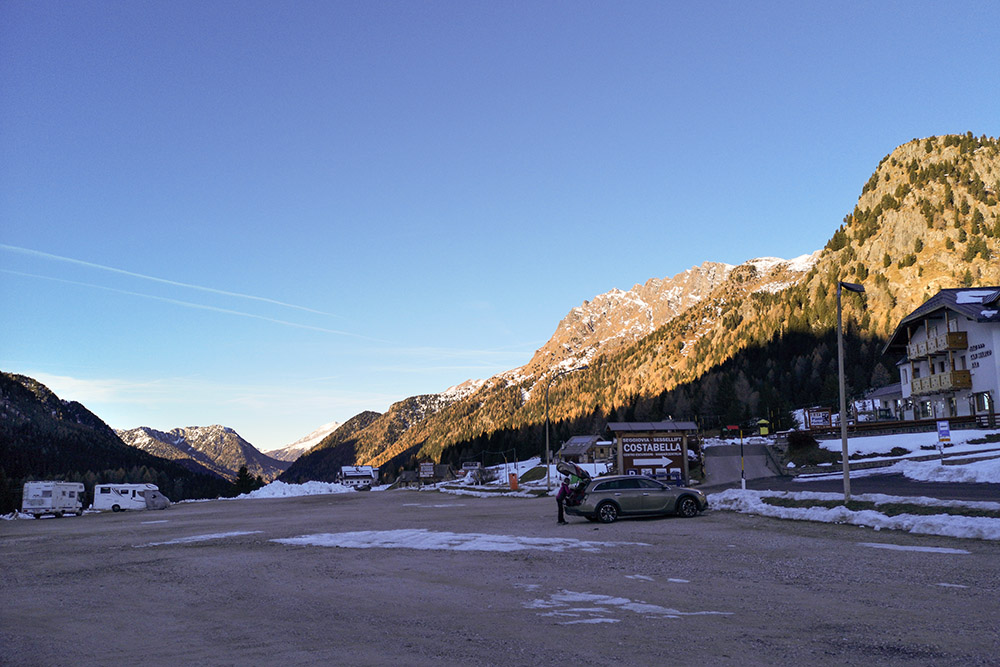
Parcheggio a Passo San Pellegrino
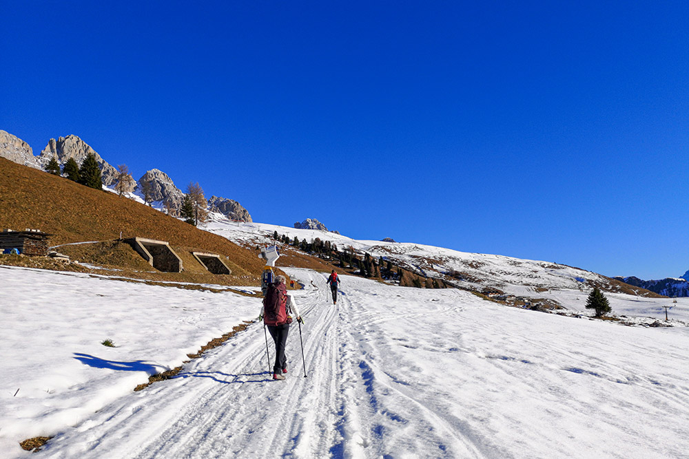
Si sale sulla strada sterrata innavata
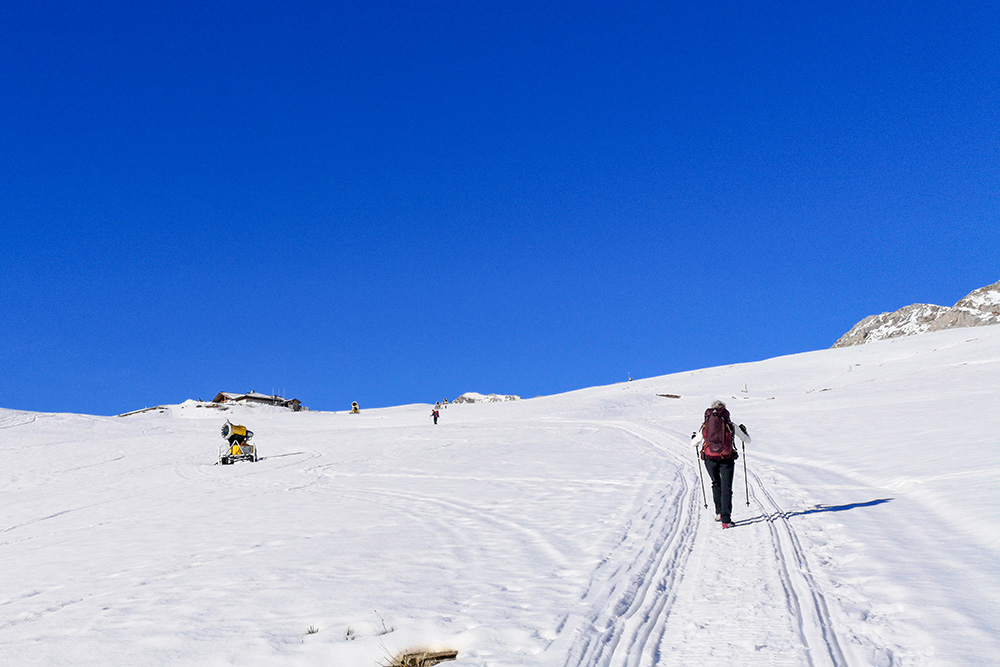
La Baita Paradiso è in vista
La Baita Paradiso dall'alto
La Baita Paradiso
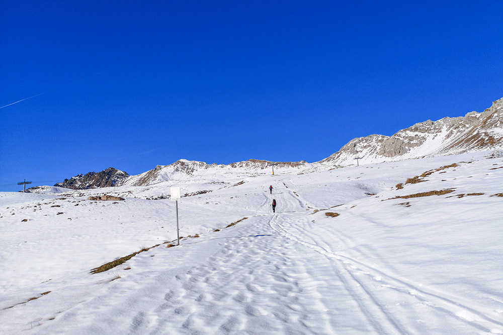
Si continua seguendo il segnavia 604
Il Rifugio Passo le Selle
Panorama verso Ovest
Panorama verso Est
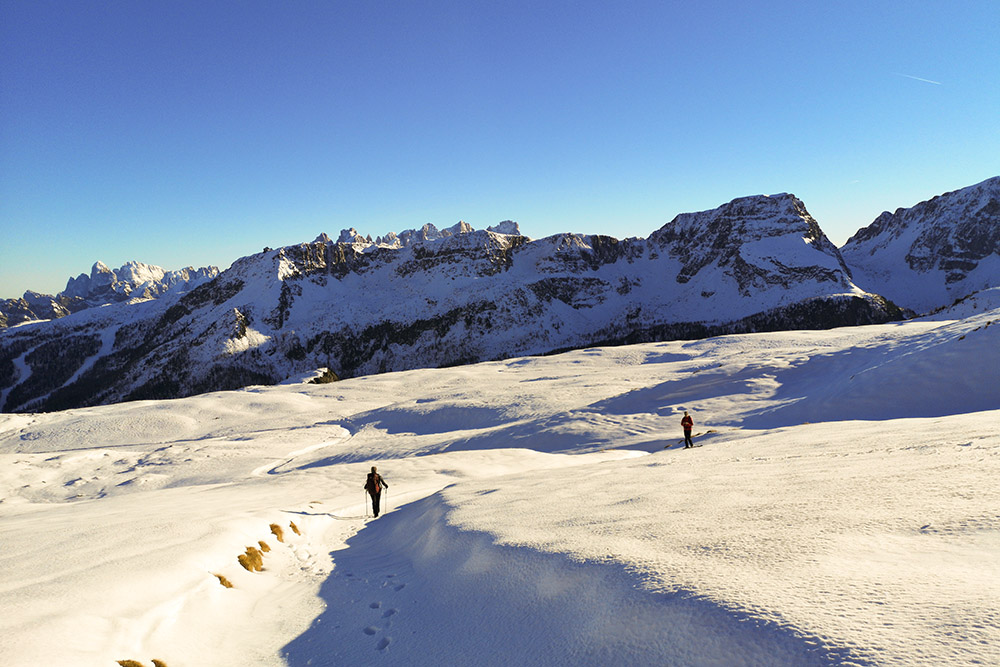
Si ritorna
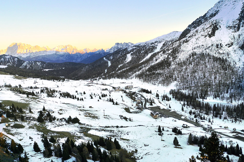
Il Passo San Pellegrino dall'alto


