


![]()


Durata
 5:40 h
Distanza
 11,6 km
 Ascesa
 754 m
754 mDiscesa
 754 m
754 mH Max
 2478 m
H Min
 1982 m
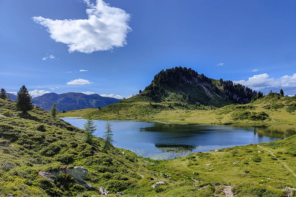
Cima Ziolera, Lake Montalon and Lake Buse
DESCRIPTION
Enchanting views of the Lagorai Group: a unique excursion.
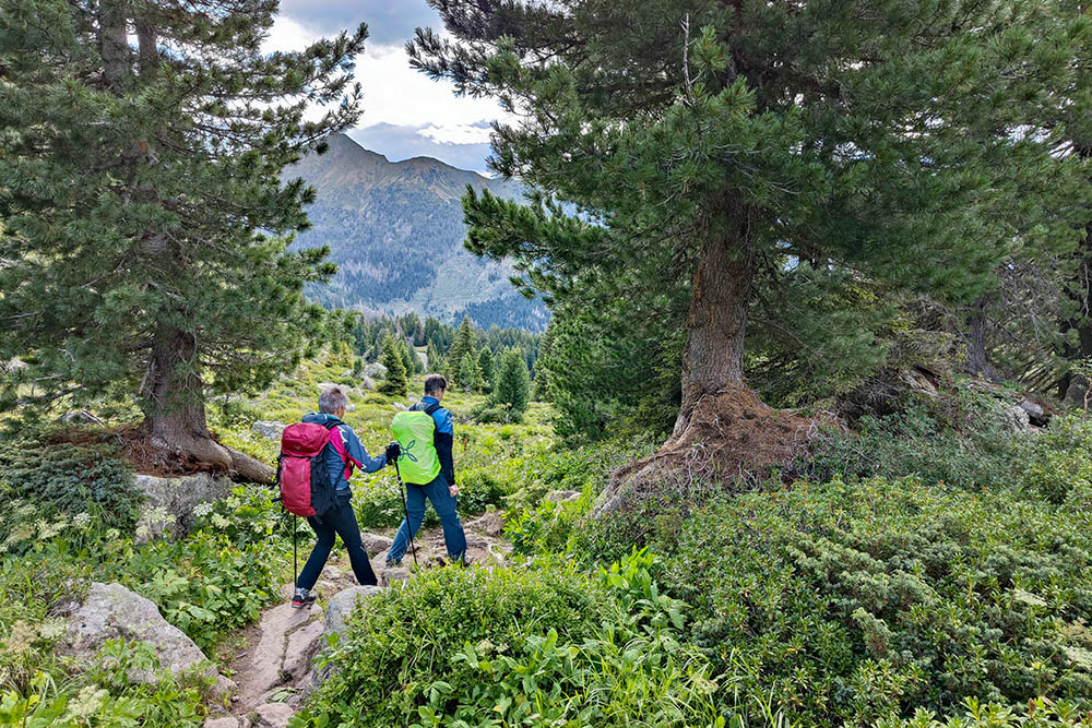
We are located in the central part of the Lagorai mountain group, in Trentino, and we want to offer you an itinerary of medium difficulty. The excursion begins at Passo Manghen and, in addition to Cima Ziolera, which overlooks the pass offering an exceptional panoramic view, we invite you to take a wonderful circular tour that includes two splendid lakes: Lake Montalon and Lake delle Buse. As you know, the Lagorai Group is little frequented and offers a wild and uncontaminated natural environment, far from the crowds of Sunday hikers.
For those wishing to shorten the journey, it is good to know that from the Ziolera and Pala del Becco forks you can cut, respectively avoiding the Montalon massif first and then Pala del Becco.
ITINERARY
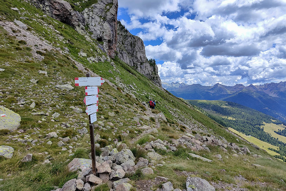
From the Baita Rifugio Passo Manghen (2042 m) take path no. 322 and passing through the Forcella del Frate (2235 m) you arrive at Cima Ziolera (2478 m). You descend to Forcella Ziolera (2253 m) and following the 322A you pass by the Forcella Pala del Becco (2248 m) to arrive at Lake Montalon (2089 m) on the 322B. Here you go up path no. 362 and you arrive at Forcella di Montalon (2133 m). You return to the starting point along path no. 322 and passing through Pian delle Fave (2160 m) and Lago delle Buse (2059 m).
EXCURSION DATE
August 6, 2023
STARTING POINT
Baita Rifugio Passo Manghen (2042 m)
REFRESHMENT POINT
Nobody
AUTHOR’S SUGGESTIONS
Go around counterclockwise.
SAFETY TIPS
The viability of the proposed itinerary, like all mountain morphology, is subject to environmental changes due to natural events and weather conditions. Therefore, before leaving, consult the competent tourist offices and / or the refuges of reference.
Our GPX tracks are only indicative, that is, the route was carried out at best with the conditions of the trails and weather of that day. So always consider what to do on site.
Also remember to evaluate the route based on your physical abilities, training and the equipment you have.
You should leave someone the route you intend to do told.
Remember that the emergency number is 112.
EQUIPMENT
It is recommended to have the appropriate equipment for the route, weather conditions and season: windproof and / or rain jacket, map and / or GPS device, goggles, sunscreen, boots, first aid kit, specific clothing, gloves, backpack with food and drink.
RECOMMENDED MAPS
Tabacco 058 Valsugana - Tesino - Lagorai - Cima d’Asta
INTERESTING LINKS
https://www.rifugiopassomanghen.com/
HOW TO ARRIVE
From Borgo Valsugana take Val Calamento until you reach Passo Manghen.
PARKING AREA
Free at Passo Manghen
GPS coordinates: 46.174093, 11.440778
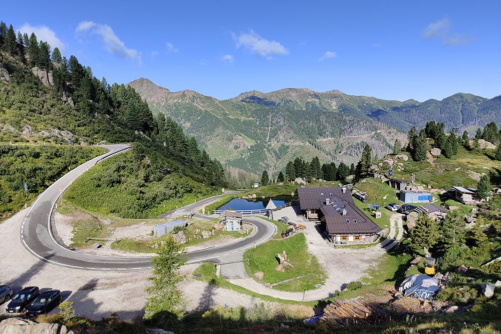
Punto di partenza - Passo Manghen
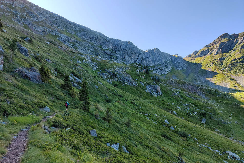
Si sale verso la vetta del Monte Ziolera
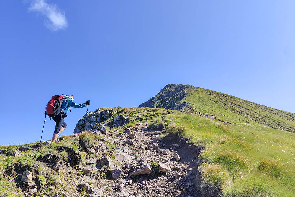
Non manca molto
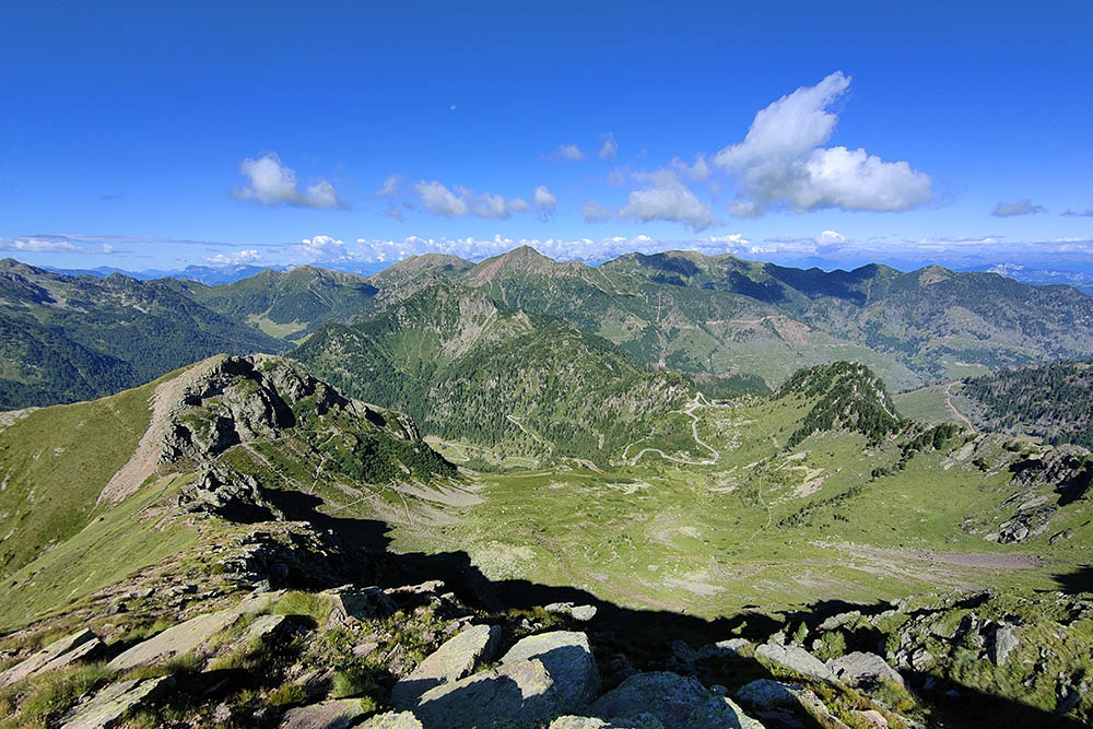
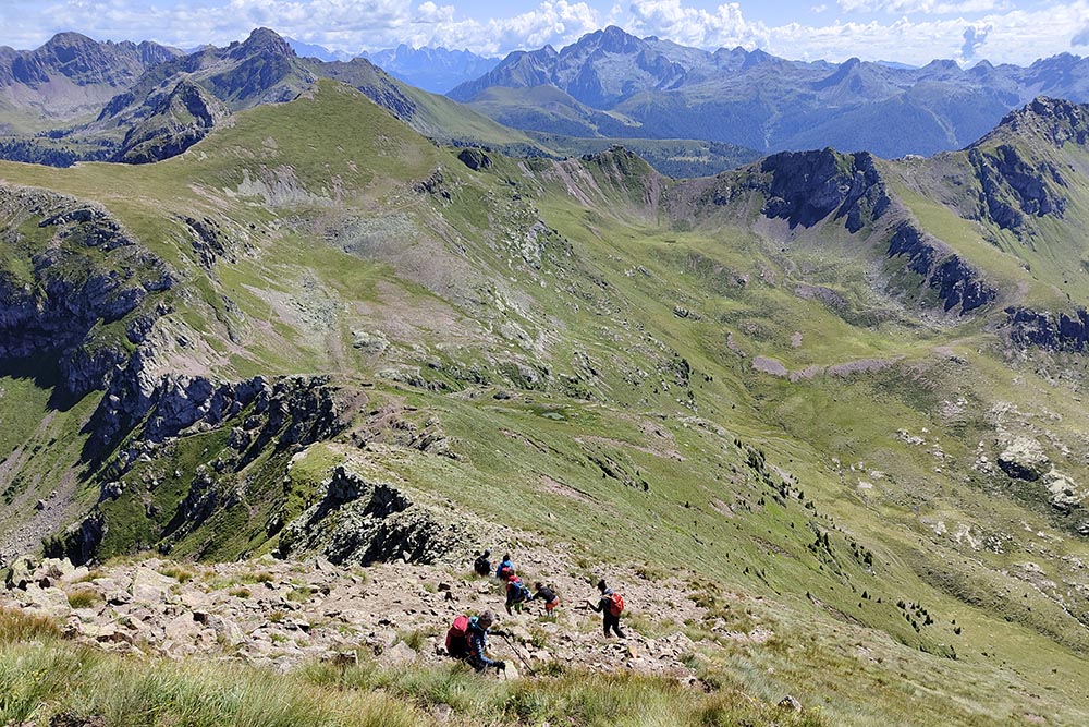
Vista del percorso finora fatto
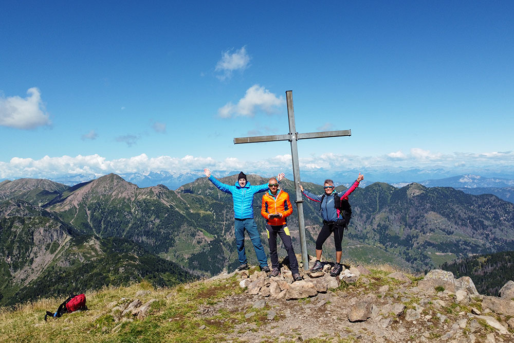
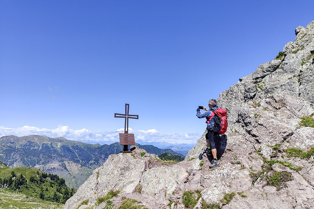
Croce di vetta del Monte Ziolera
Si va verso la Forcella Ziolera
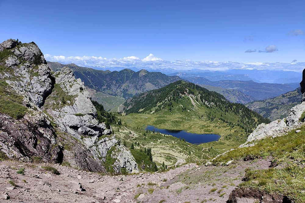
Una bella vista sul Lago delle Buse
Forcella Ziolera
Forcella Pala del Becco
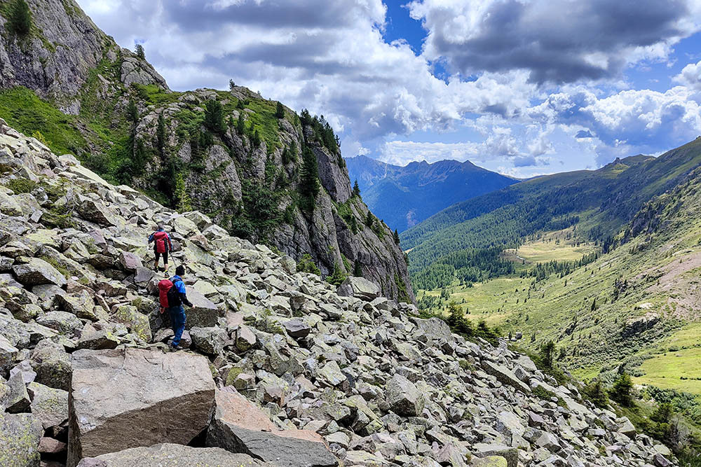
Tratto su pietraia
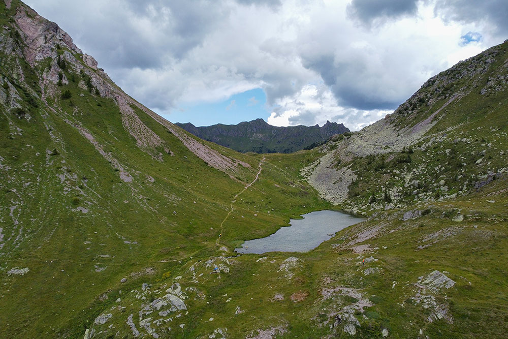
Lago di Montalon
Forcella di Montalon
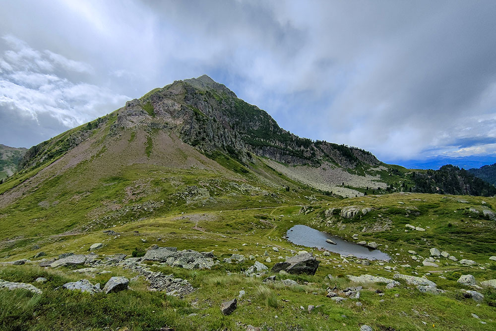
Lago delle Buse
Si rientra a Passo Manghen

Baita Manghen


