


![]()


Durata
 3:40 h
Distanza
 8,5 km
 Ascesa
 603 m
603 mDiscesa
 603 m
603 mH Max
 2437 m
H Min
 1900 m
Schwarzhorn from Passo Oclini
DESCRIPTION
Adventure on the Schwarzhorn: hike through marvelous landscapes and challenging terrains.
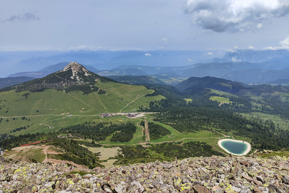
The Schwarzhorn (Corno Nero in Italian), with an altitude of 2437 meters, majestically rises between Val d’Ega in South Tyrol and Val di Fiemme in Trentino. This peak, characterized by grassy cover and dark volcanic rocks, is located opposite the Weißhorn (Corno Bianco) and overlooks the pastures of Passo Oclini (Joch Grimm).
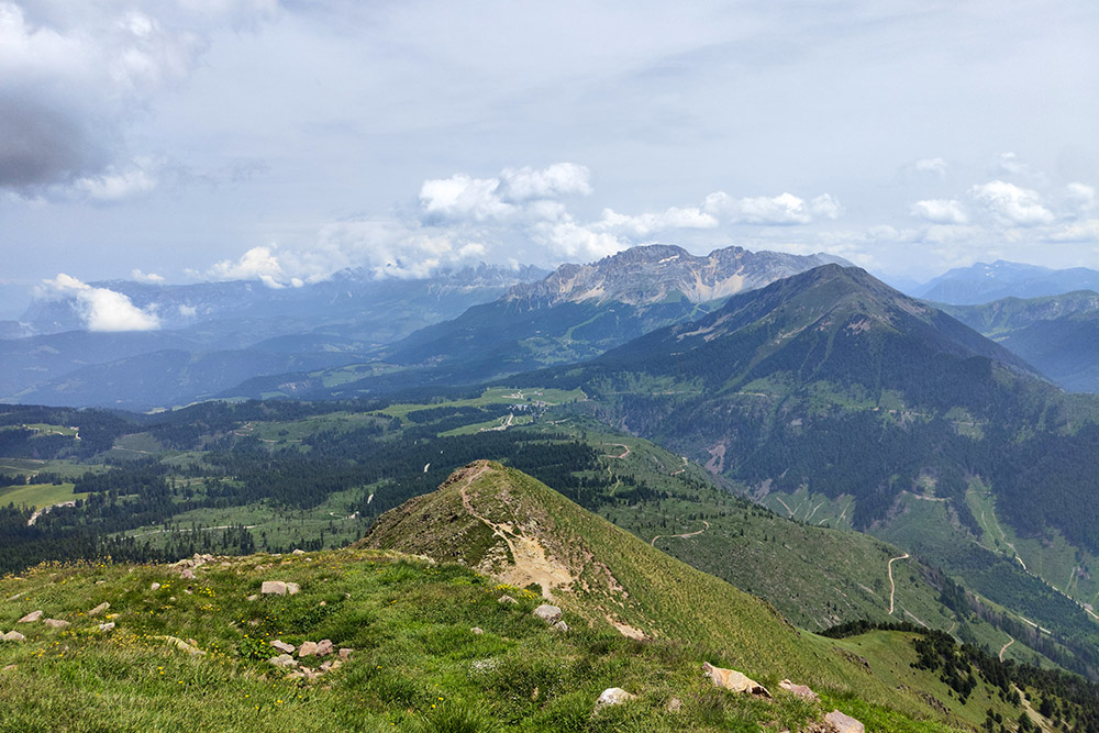
From the summit, you can enjoy fantastic views that encompass the mountain groups of Latemar, Catinaccio, Lagorai, and Pale di San Martino, as well as the valleys of Fiemme and Ega.
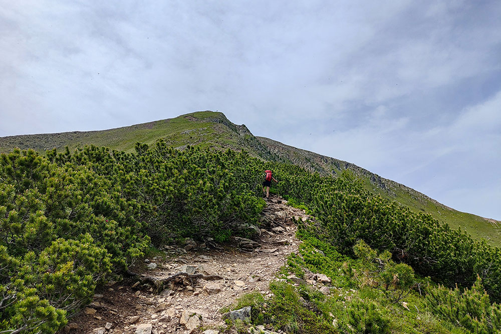
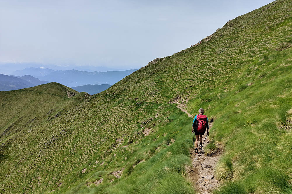
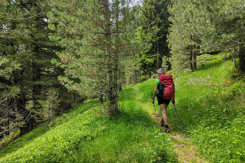
The itinerary to reach the summit is relatively short but demanding: it begins in the pastures, then faces a steep path that crosses areas of dwarf pine, sparse grass, and rocky areas. The descent, equally steep and at times exposed, is recommended only for experienced hikers (EE) and leads to Malga Cugola Alta. The return along trail 14, however, is easier and free of technical difficulties.
This route offers a hiking experience rich in emotions and unforgettable landscapes, ideal for those seeking adventure and natural beauty.
ITINERARY
From Passo Oclini (1991 m), take the path that passes near the Hotel Schwarzhorn with trail marker 573. Upon reaching an artificial basin, follow trail marker 502 to the summit of the Schwarzhorn (2437 m). Head briefly south to the second summit cross overlooking the Val di Fiemme. Now descend via trail 502 to Malga Cugola Alta and Baito Cugola Alta (1900 m). Here, take trail 14, pass the Passo Cugola (1923 m), and return to Passo Oclini.
EXCURSION DATE
June 29, 2024
STARTING POINT
Passo Oclini
REFRESHMENT POINT
None
AUTHOR’S SUGGESTIONS
For those who still want to walk, we suggest climbing to the summit of the Weißhorn.
SAFETY TIPS
The viability of the proposed itinerary, like all mountain morphology, is subject to environmental changes due to natural events and weather conditions. Therefore, before leaving, consult the competent tourist offices and / or the refuges of reference.
Our GPX tracks are only indicative, that is, the route was carried out at best with the conditions of the trails and weather of that day. So always consider what to do on site.
Also remember to evaluate the route based on your physical abilities, training and the equipment you have.
You should leave someone the route you intend to do told.
Remember that the emergency number is 112.
EQUIPMENT
It is recommended to have the appropriate equipment for the route, weather conditions and season: windproof and / or rain jacket, map and / or GPS device, goggles, sunscreen, boots, first aid kit, specific clothing, gloves, backpack with food and drink.
RECOMMENDED MAPS
Tabacco 014 Val di Fiemme - Lagorai – Latemar
INTERESTING LINKS
https://jochgrimm.com/it/
HOW TO ARRIVE
From Val d'Ega, follow SS241 and SS620 or from Val di Fiemme at Cavalese, take SS620 to Passo di Lavazè. Here, take the road towards Passo Oclini/Jochgrimm and after 3.5 km you will reach the pass.
PARKING AREA
Passo Oclini, free.
GPS coordinates: 46.347169, 11.451798
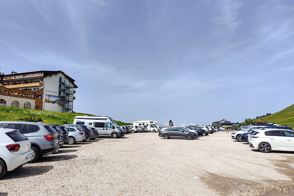
Passo Oclini
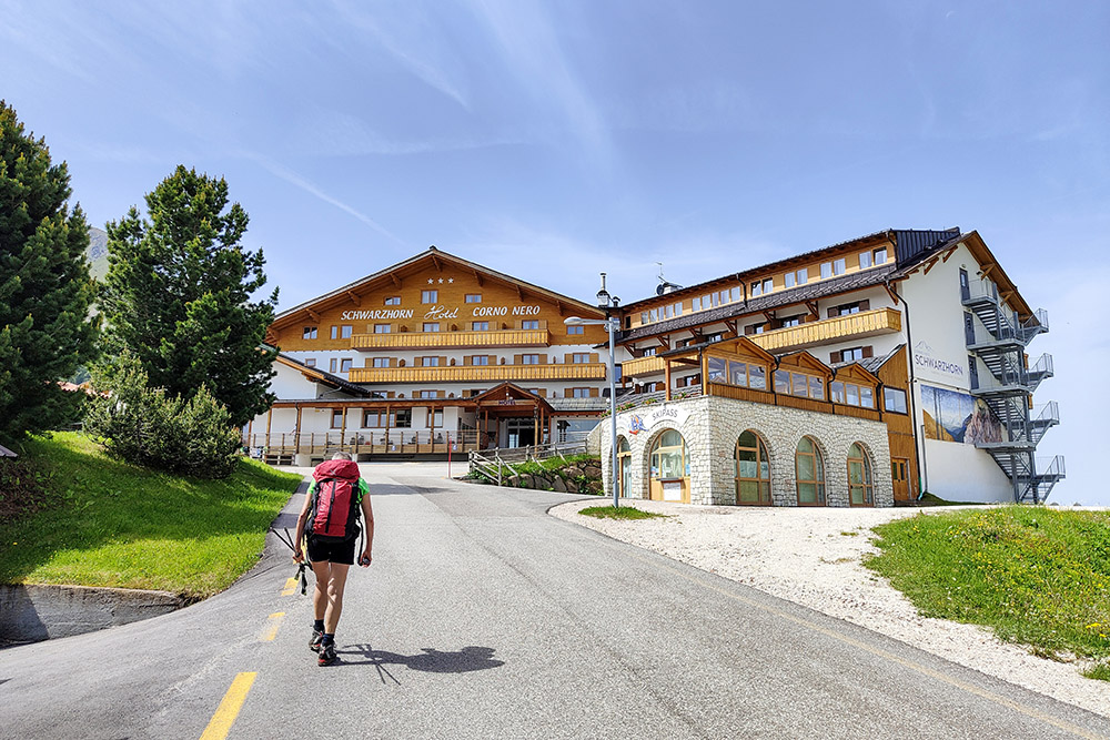
Si parte
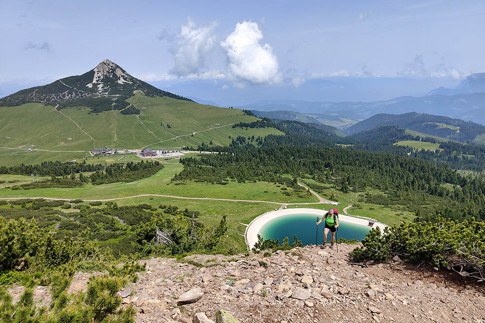
Il Corno Bianco e il bacino artificiale
Vediamo la Croce di vetta
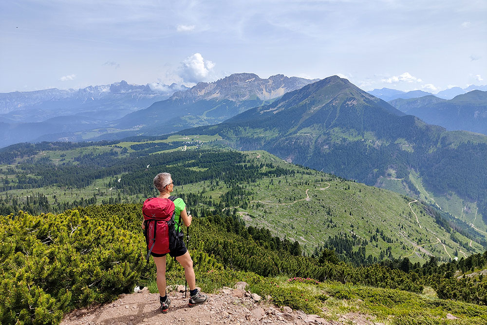
Ammiriamo il panorama sul Latemar e Catinaccio
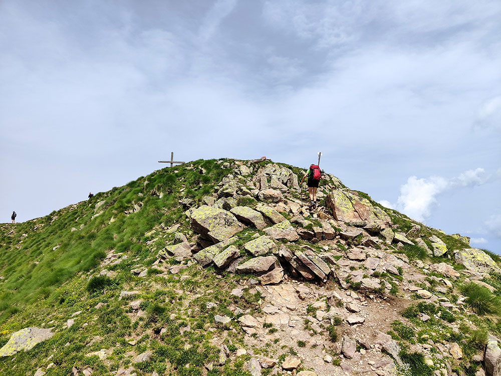
Ancora pochi metri
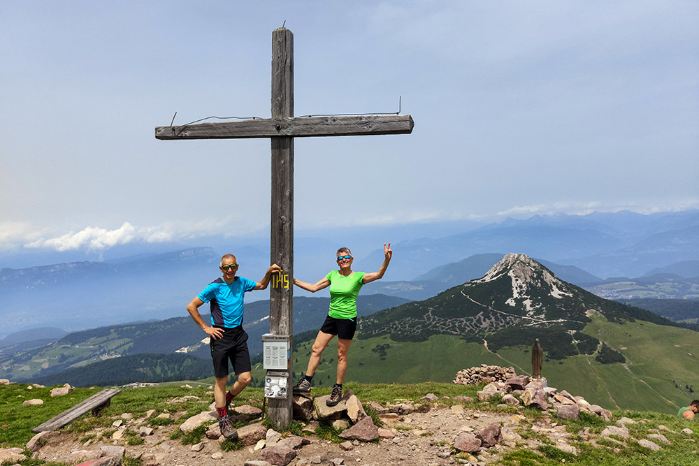
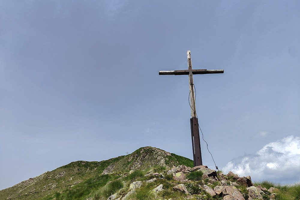
Croce di Vetta del Corno Nero
Panorama verso il Catinaccio
Vista sul Corno Bianco
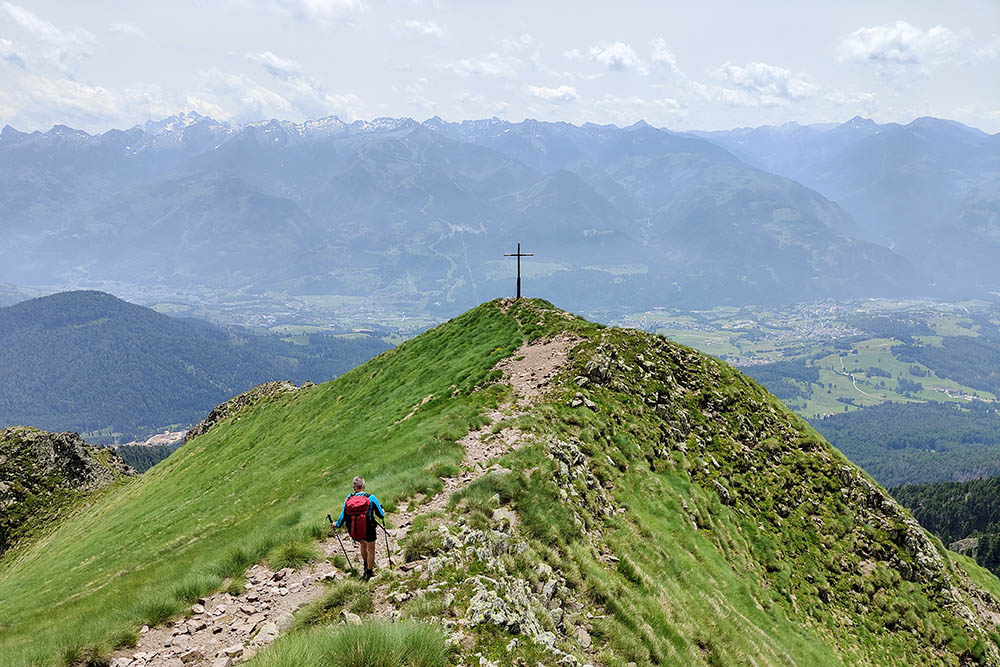
Andiamo alla seconda croce
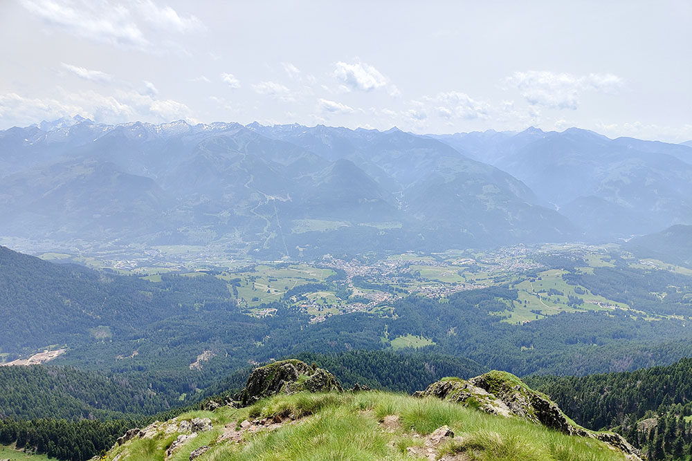
Vista sulla Val di Fiemme
Seconda croce
Lasciamo la vetta
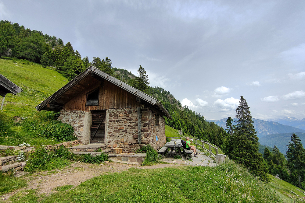
Malga Cugola Alta
Si ritorna a Passo Oclini


